
District 9 100 Year Anniversary
![]()
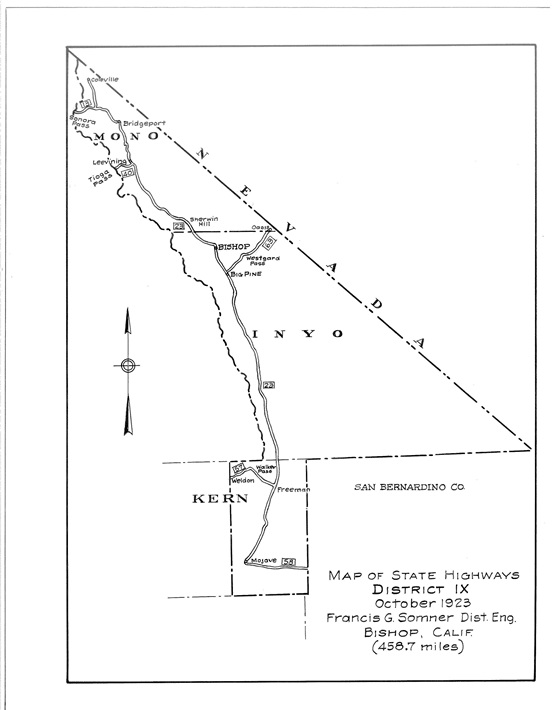
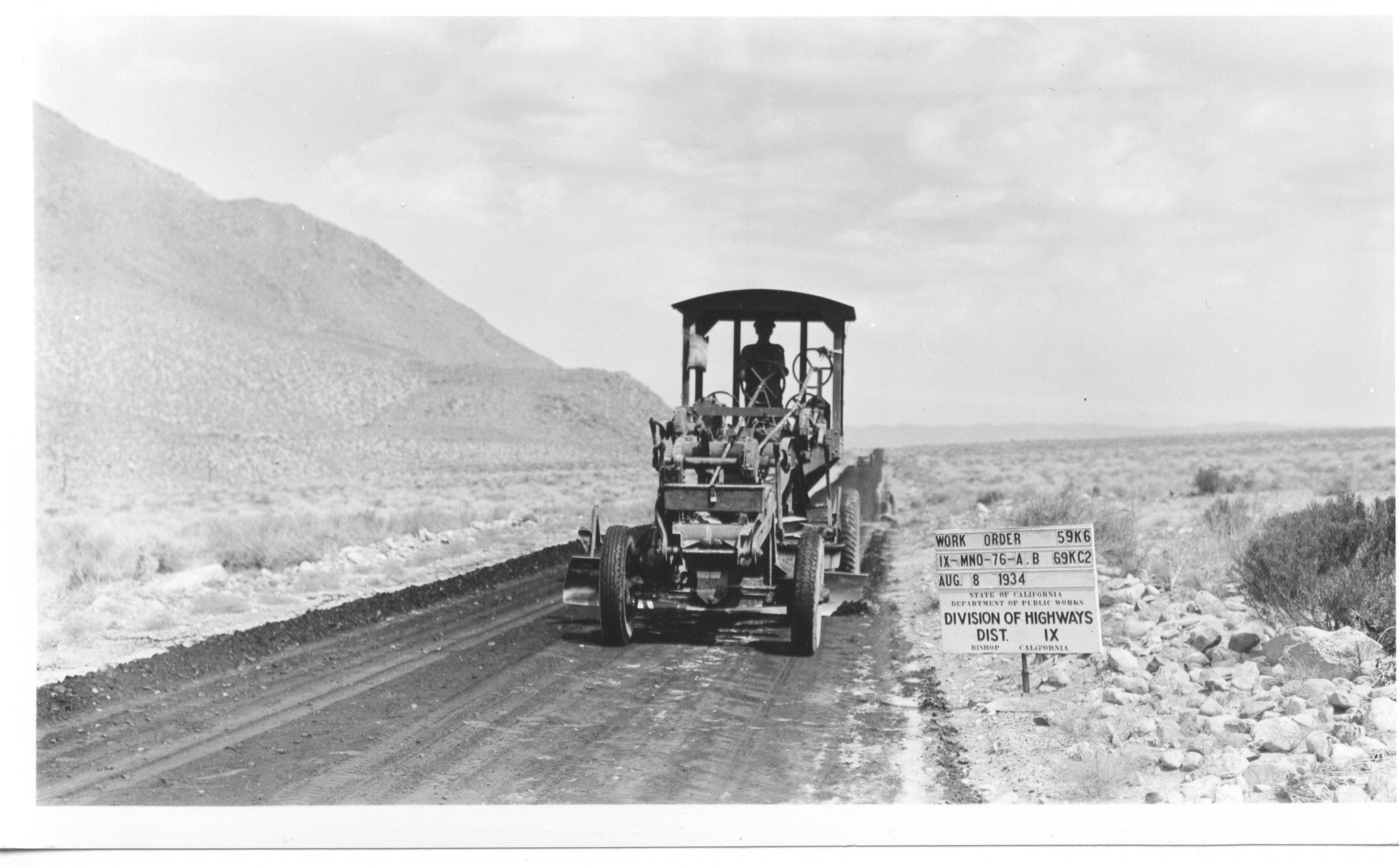
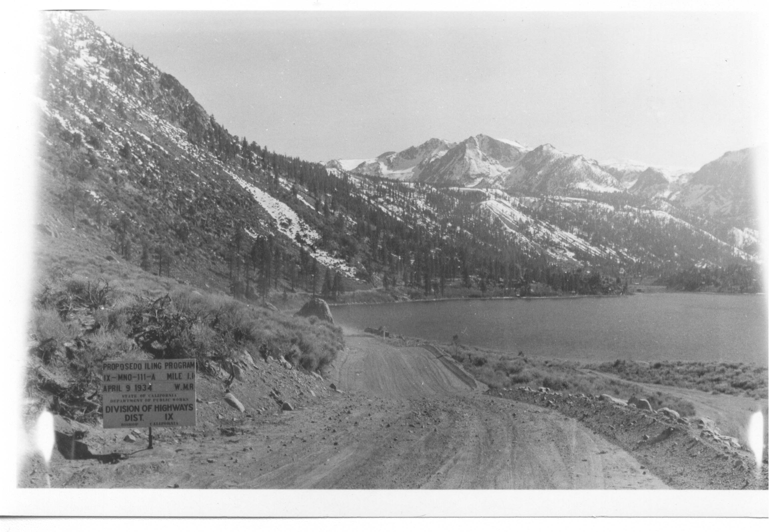
The California State Highway System dates back to 1985 when Governor James Budd established the Bureau of Highways, one of several precursors to the agency we know today as Caltrans. A year later, the Department of Highways replaced the bureau, which operated as an independent agency until 1907, when the Division of Highways was created within the newly established Department of Engineering. In 1910, California voters passed an $18 million bond to fund the construction of the State Highway System. Seven divisions were created in 1912 to facilitate the construction, with the Fresno office managing Inyo, Mono, and Kern counties.
In 1923, the same year the first state gas tax was established, the California Highway Commission created three more divisions in the cities of Stockton, San Bernardino, and Bishop. The latter began operations on October 11, 1923 as Division 9. Today, it's known as Caltrans District 9, and it manages 19 U.S. and State designated highways in Eastern Kern, Mono, and Inyo counties.
Join us as we celebrate one century of serving the people of California.
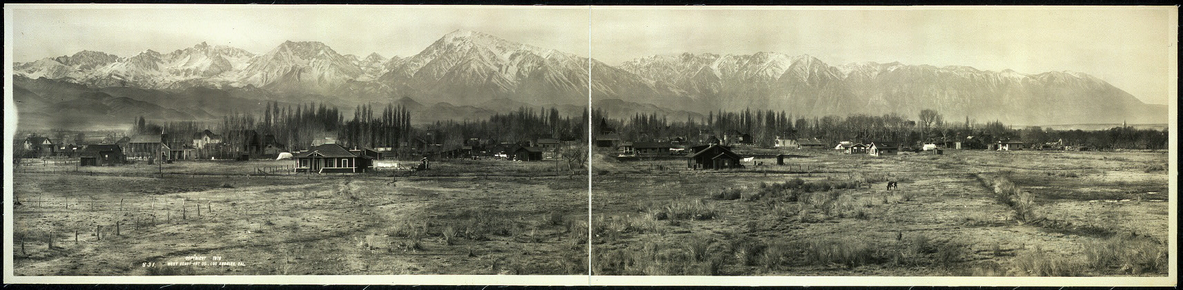
In the Beginning
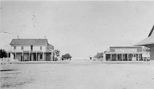
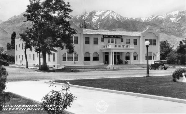
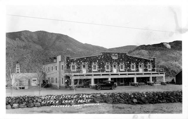
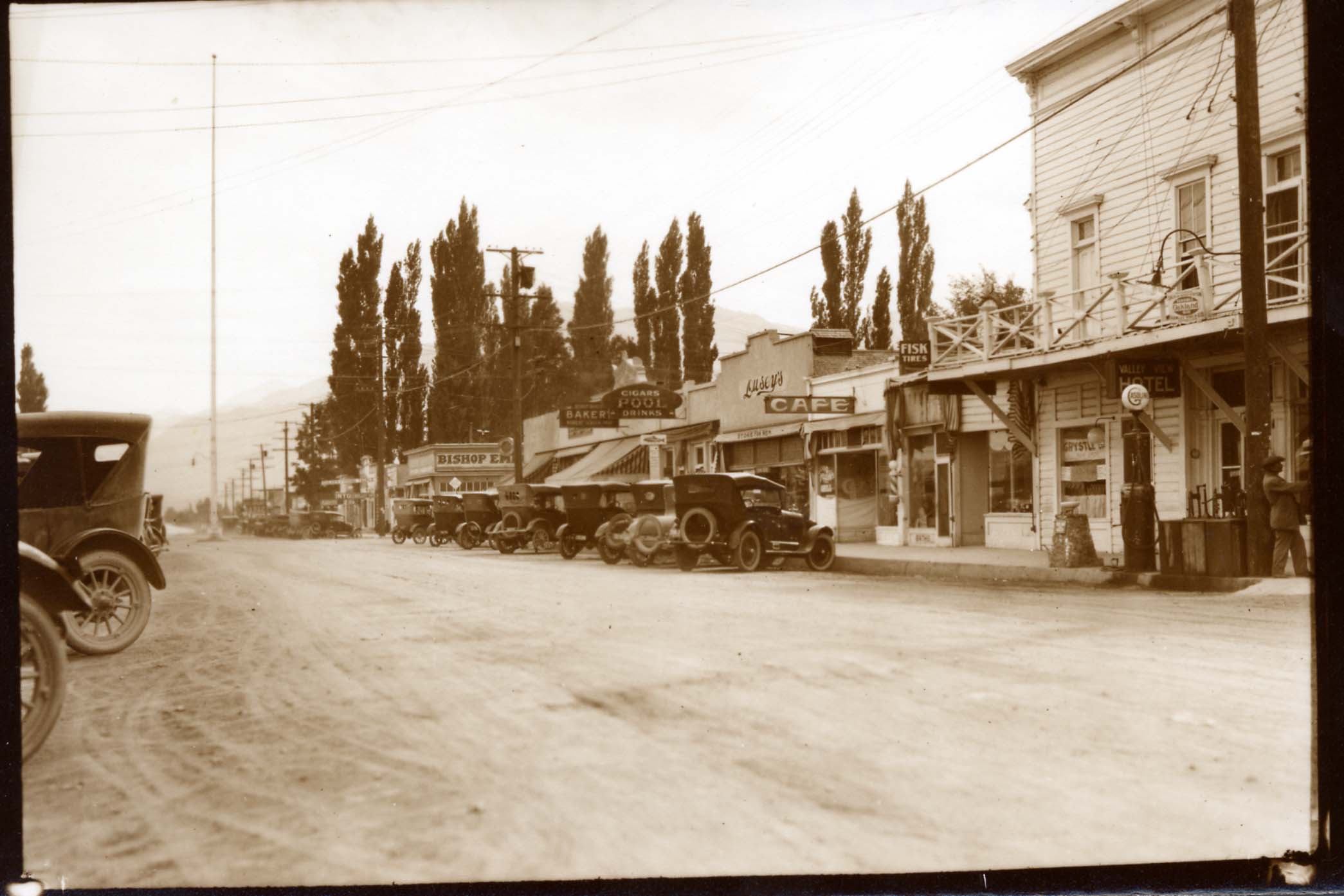
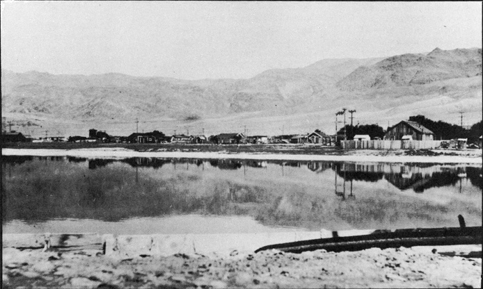
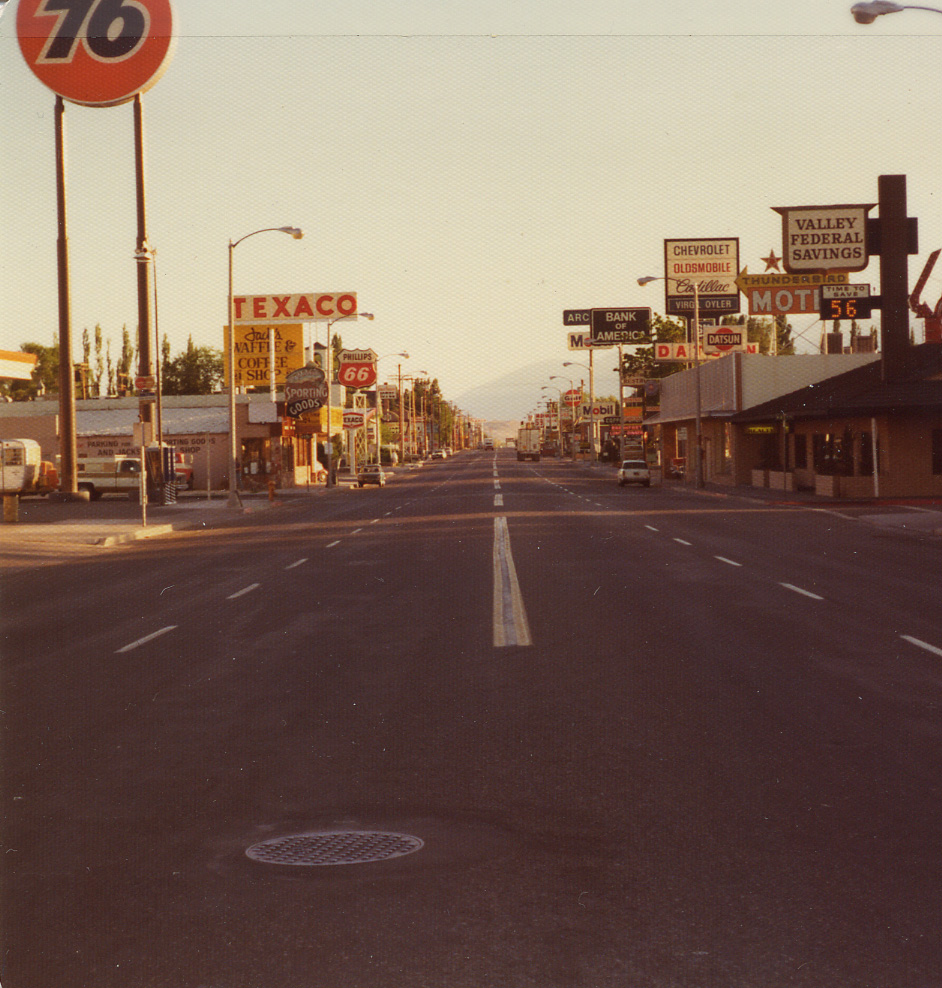
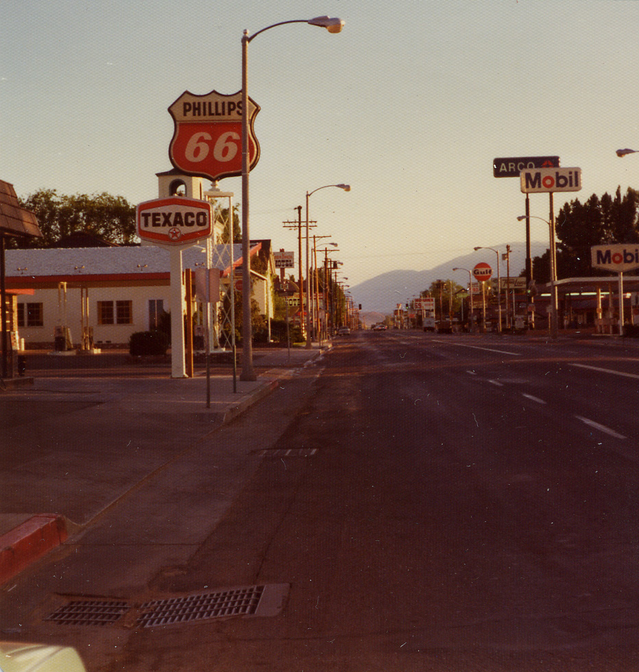
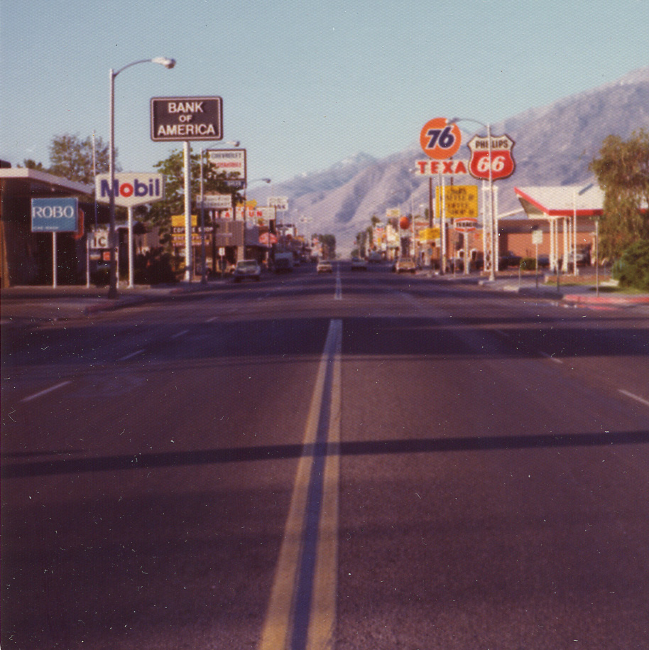
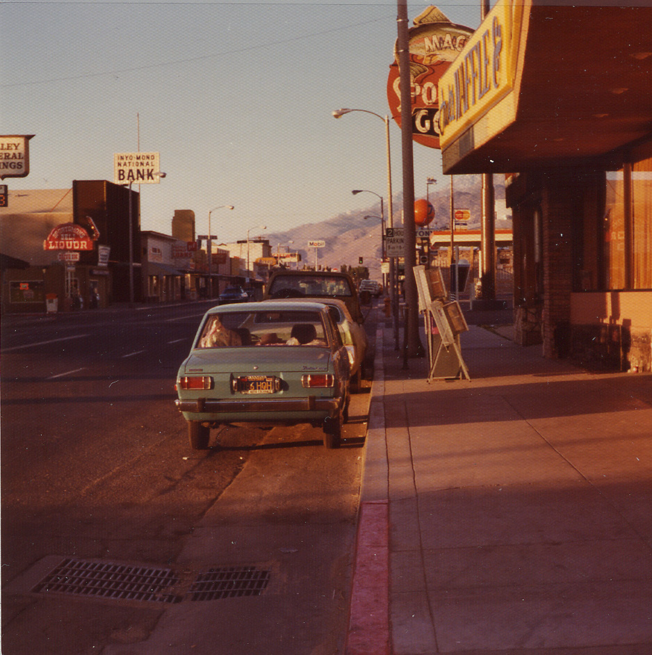
District 9 - The Early Years

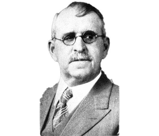
The First District Engineer
Francis G. Somner was already a known commodity when he took the reins of Division 9 on October 11, 1923. Previously, he was employed by Division 1 in Willits where he played a crucial role in connecting Eureka and Humboldt County to cities further south with an expansion of the Redwood Highway. With Division 9, he'd be asked to do the same thing again with the towns and communities of Inyo and Mono counties.
An excerpt from The Story of District IX describes him as so:
Frank G. Somner was a character. He had a goodly supply of anecdotes and could tell them effectively. He did not spare himself in such matters. He told of being on a reconnaissance trip with F. W. Haselwood, who later became a district engineer. They waded across a stream after removing their shoes and socks. On the far bank, they started to replace them as they continued to discuss the reconnaissance that they were making. Somner had considerable trouble trying to pull on his shoe. Hasselwood noticed his plight and finally said, “Mr. Somner, if you would try putting just one sock on each foot, I think your shoe would slip on much better.”
The Story of District IX
Former District Engineer Alan Hart began work in the 1950s on the definitive account of District 9. Spurred by the desire to present an accurate picture of what life was like east of the Sierra Nevada, telling the story of District 9 proved to be a challenge. There weren't many documents he could pull from that detailed the earliest years of highway operations in Inyo, Mono, and eastern Kern counties. It's believed many records were lost in a 1926 fire, and Hart, to continue writing his book, would have to reach out to those who were there in the earliest years and get first-hand accounts of the earliest years of District 9.
This is an excerpt from "El Camino Sierra," the first chapter of the unfinished book The Story of District IX by Alan S. Hart:
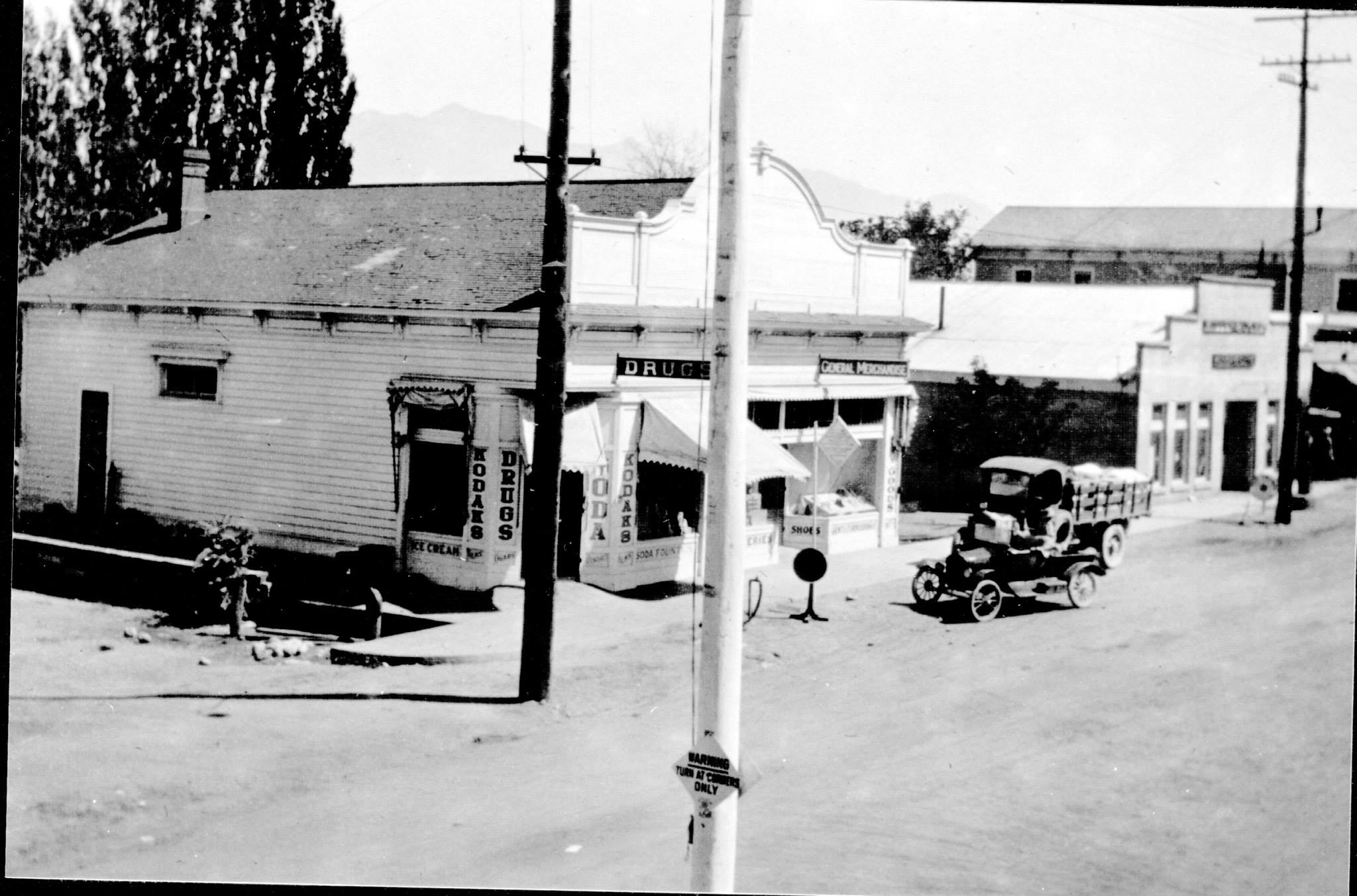
State Highway District IX was born on October 11, 1923. The highways within the limits of District IX were, however, no swaddling infants then as they, for the most part, were a portion of the original State highway system as laid out in the latter part of the year 1911. For nearly 12 years the highways of District IX were fathered and nurtured by the engineers of District VI in Fresno who were first charged with the responsibilities of the State highways in the Inyo-Mono region.
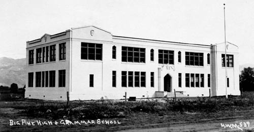
While the peoples of the land east of the Sierra are not as numerous as those elsewhere in California, these inhabitants of the “Land of Little Rain” are just as intense, just as steadfast of purpose, and just as civic and highway minded as their brethren in the more populated areas.
The main traveled way in Inyo-Mono is now designated as U. S. 395 and is the economic life line of this area. U. S. 395, also colorfully termed the Three Flags Highway, traverses the United States from the south in Mexico to a northerly terminal in Canada. The Owens Valley and the Mono mountains lie athwart of this royal road to romance. There are no railroads in Mono County. Inyo County was never adequately serviced by the combination broad and narrow gauge railroad.
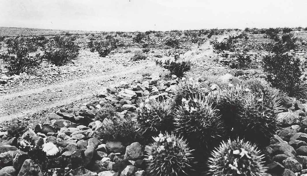
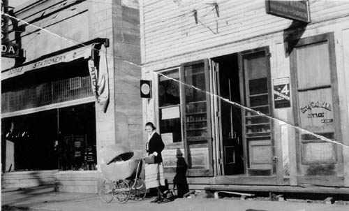
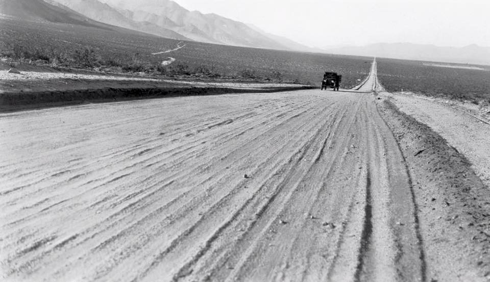
From the earliest times, this area had only its trails for transportation. The early miners, the cattlemen, the soldiers and the Indians traveled up and down the valleys, passes, and hillsides and in time a path was beaten along the shortest routes between the many settlements that existed before the turn of the century. Widening out of these paths for wagon uses caused the first roads to come into being.
The dirt roads were adequate for wagon traffic. High centers of gravity, large wheels, and generally slow speed provided no particular cause for complaint if the roads were narrow or had high ridges between the wheel tracks. Never-the-less, a persistent barrier to wagon traffic existed in these days on the formidable Sherwin Hill located in Mono County just over the line from Inyo County and at the northerly end of the Owens Valley. A road was actually constructed by J. L. C. Sherwin over the hill which bears his name and toll was charged for the right to travel over this new road. As a road for wagons, it was adequate and at least did provide for a means of transporting goods from one county to the other.
With the advent of the 20th Century came the automobile. As the horseless carriages became numerically prominent, so did the agitation for 9 good roads. The old narrow, dusty in summer, muddy in winter, high centered, rutted roads just would not provide a suitable platform for the new gasoline runabouts.
Characteristically, the people of California started in to do something about this problem rather than talk about it or bemoan the situation. In the legislative session of 1909, an act was passed calling for a bond issue of $18,000,000 for the purpose of acquiring and constructing a State highway system. Governor Gillett signed this act and it went to the people of the State of California for ratification at the general election of November, 1910.
The die was now cast and it was up to the people themselves to decide whether or not they wanted good roads. The people east of the Sierra were not long in making up their minds just what they wanted.
To read the complete text, click here: The Story of District IX by Alan S. Hart.
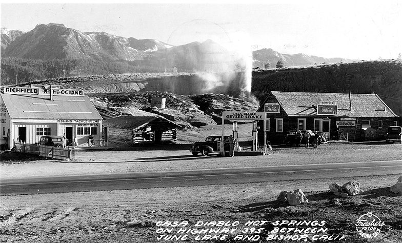
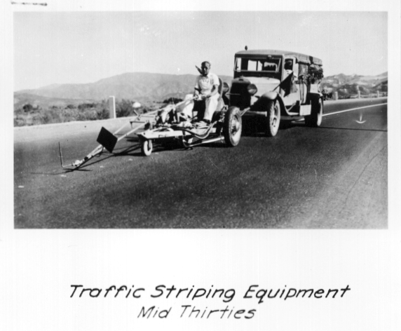
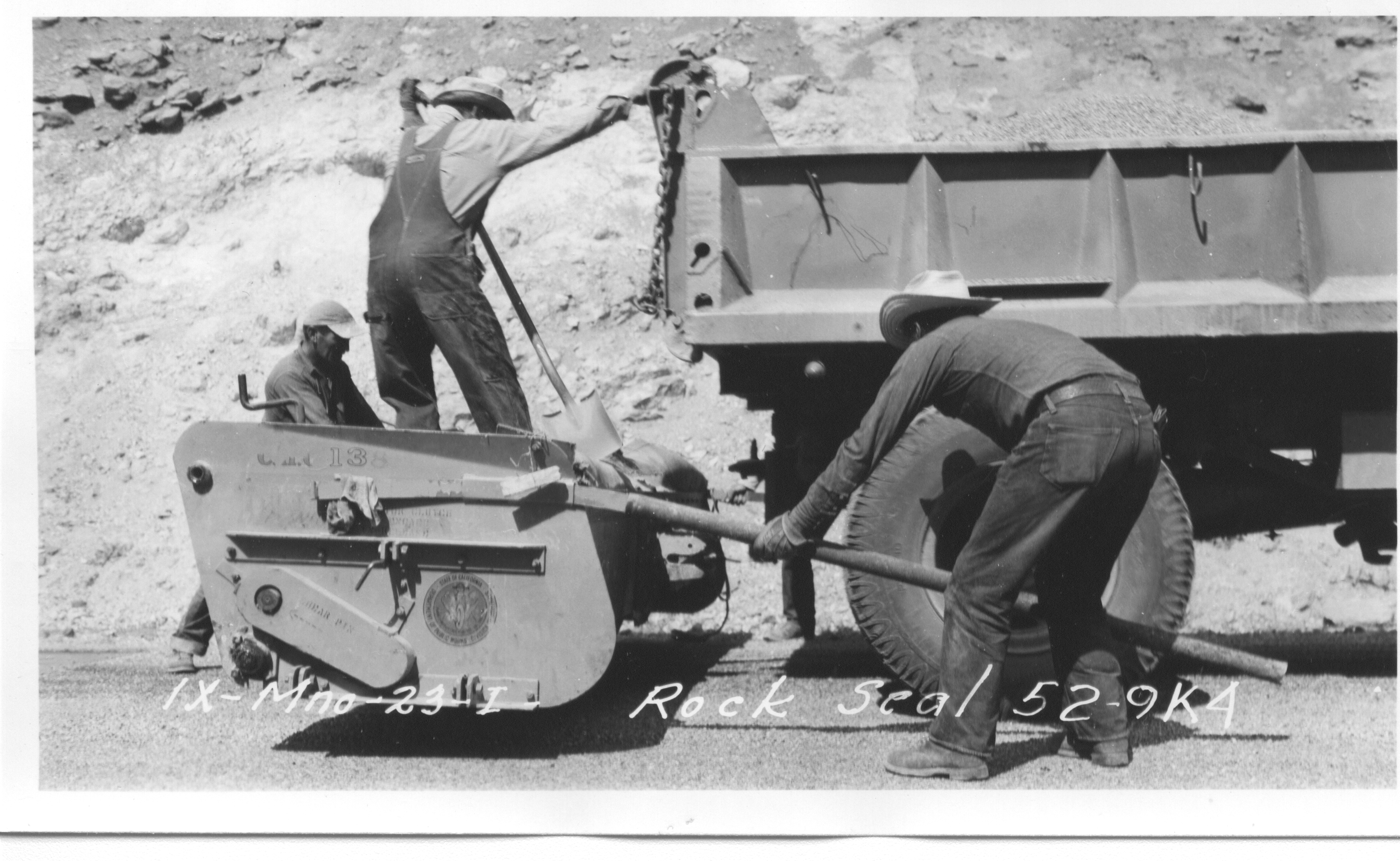
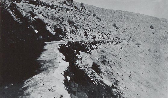
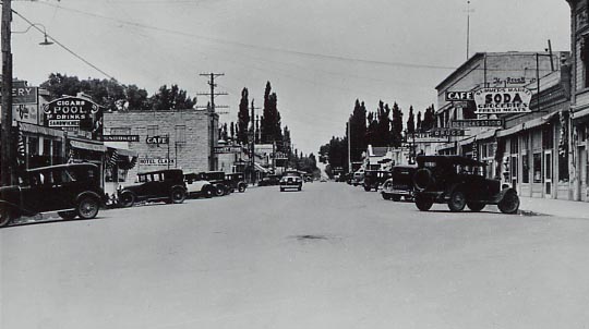
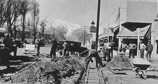
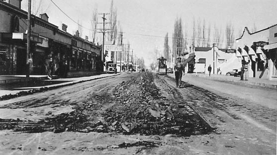
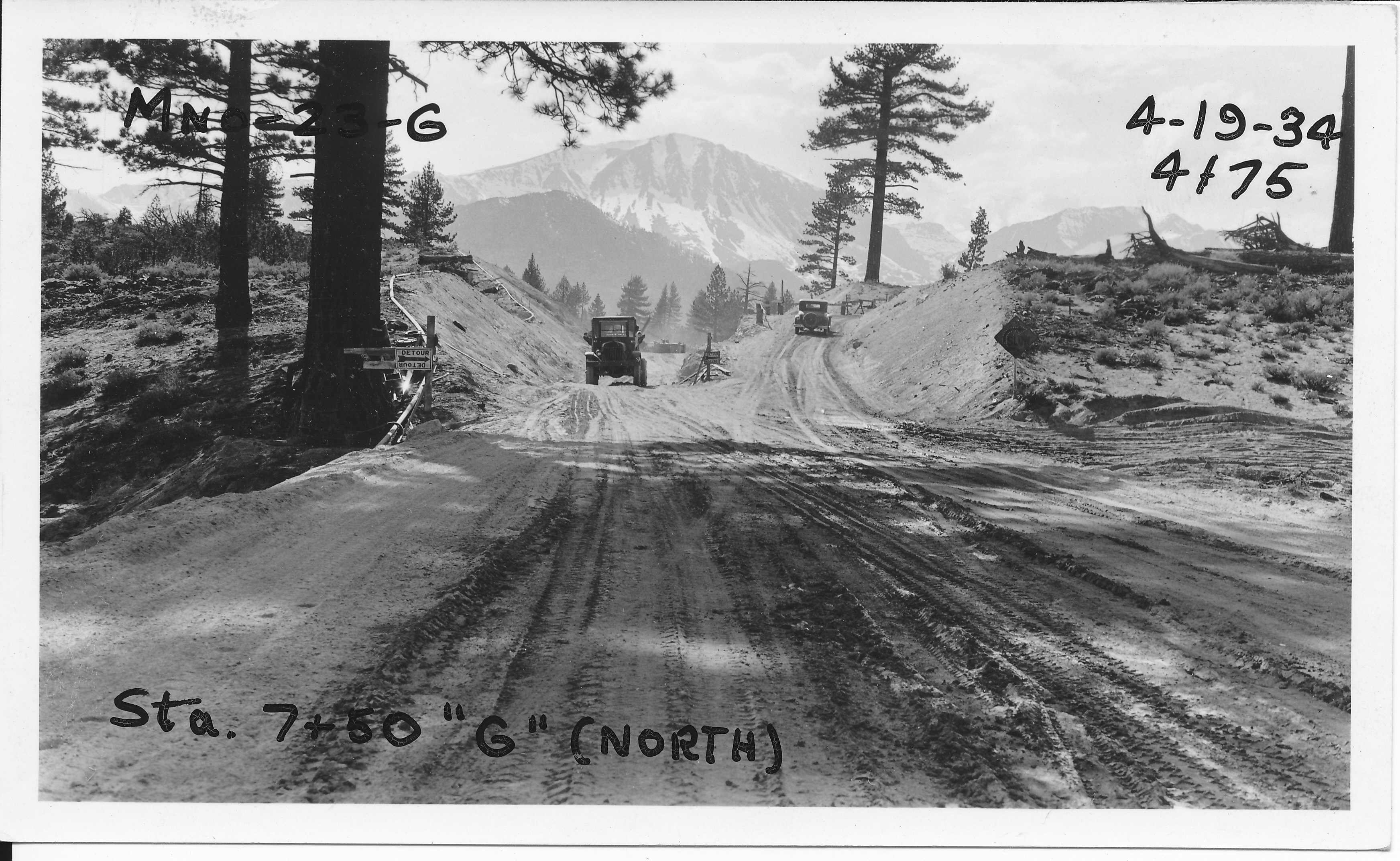
District 9 Throughout the Years
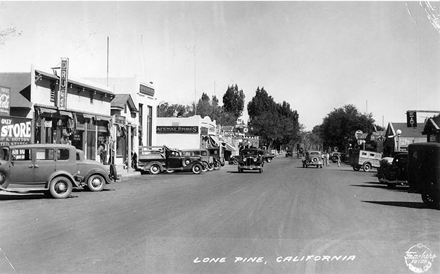
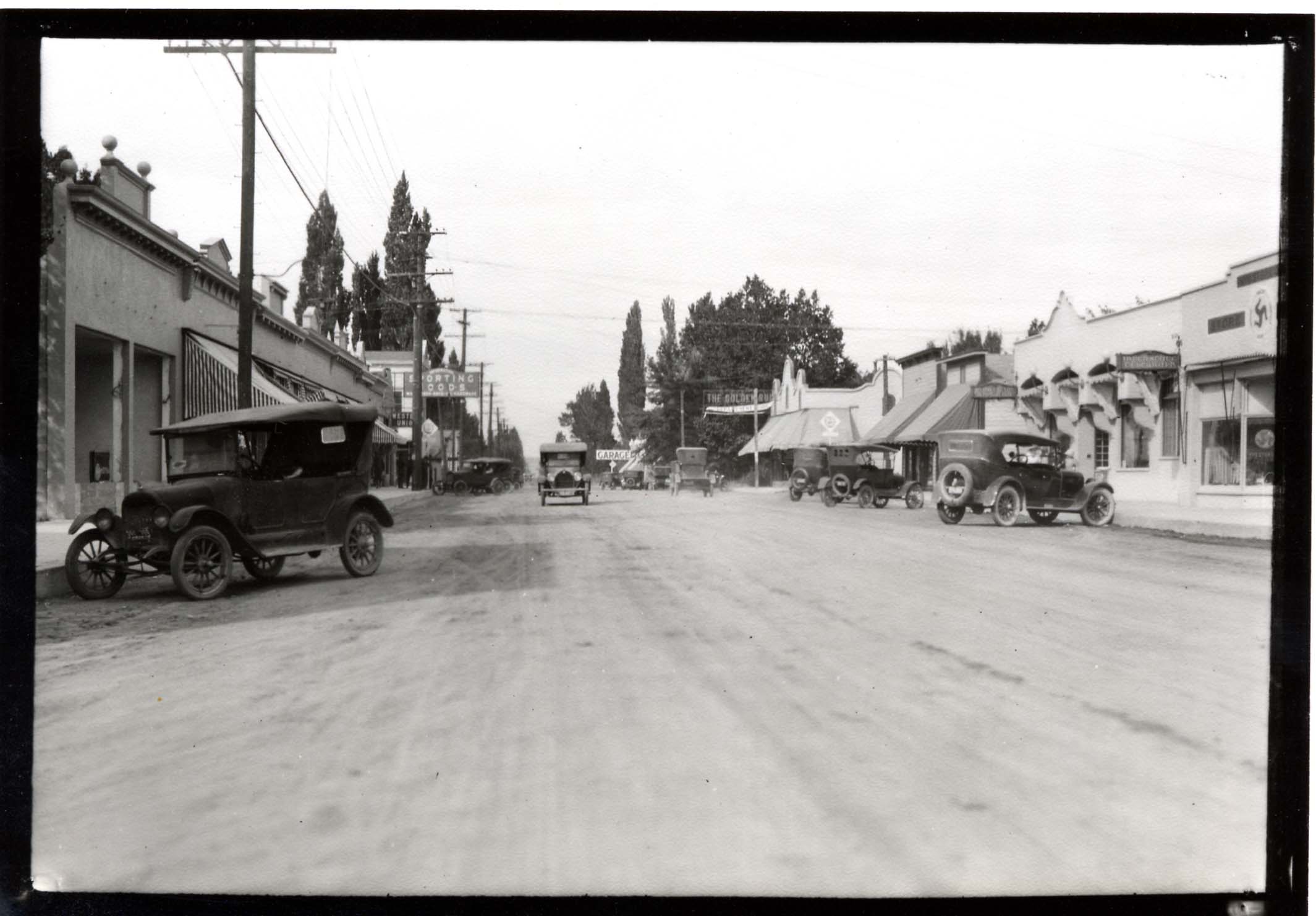
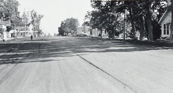
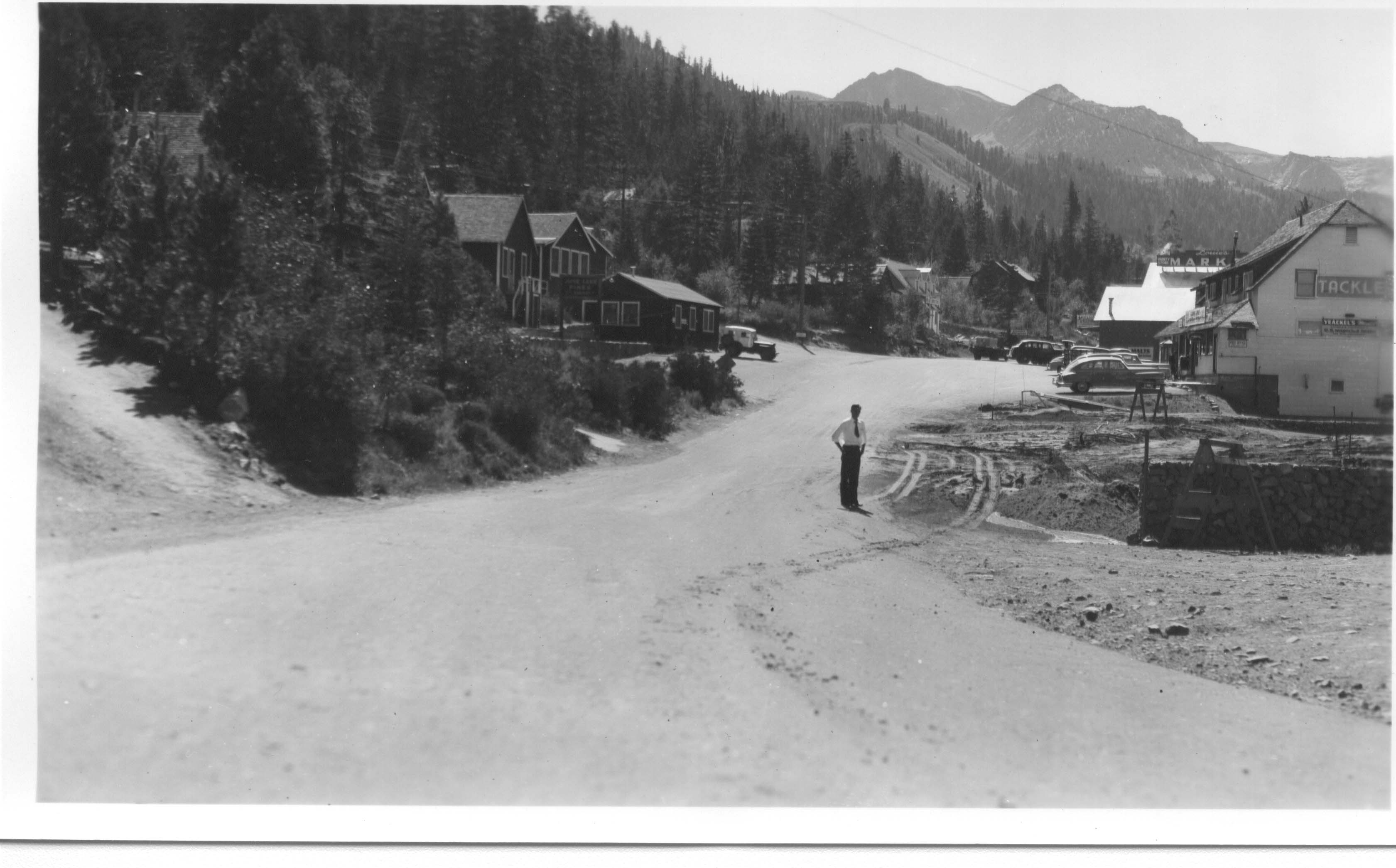
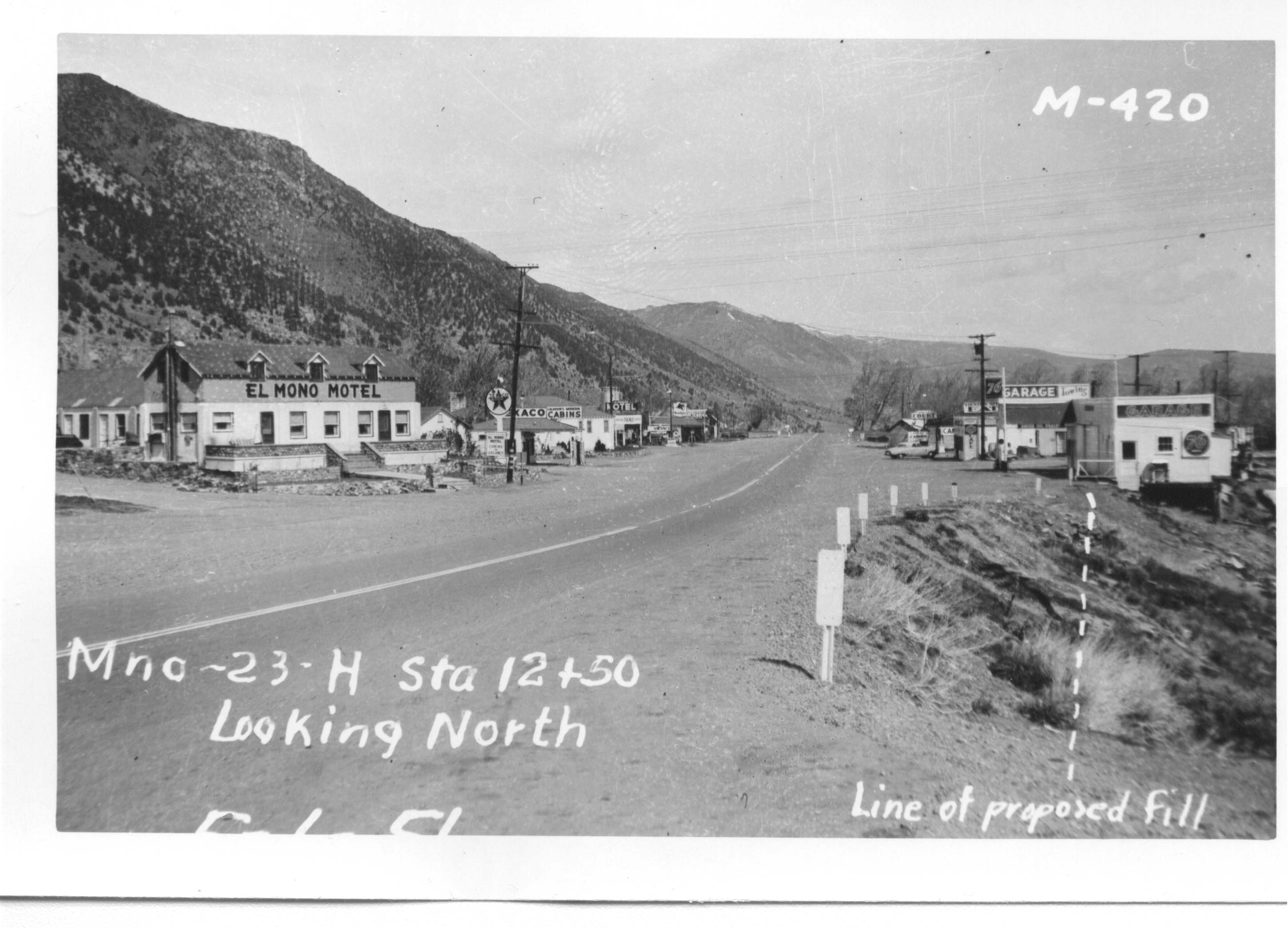
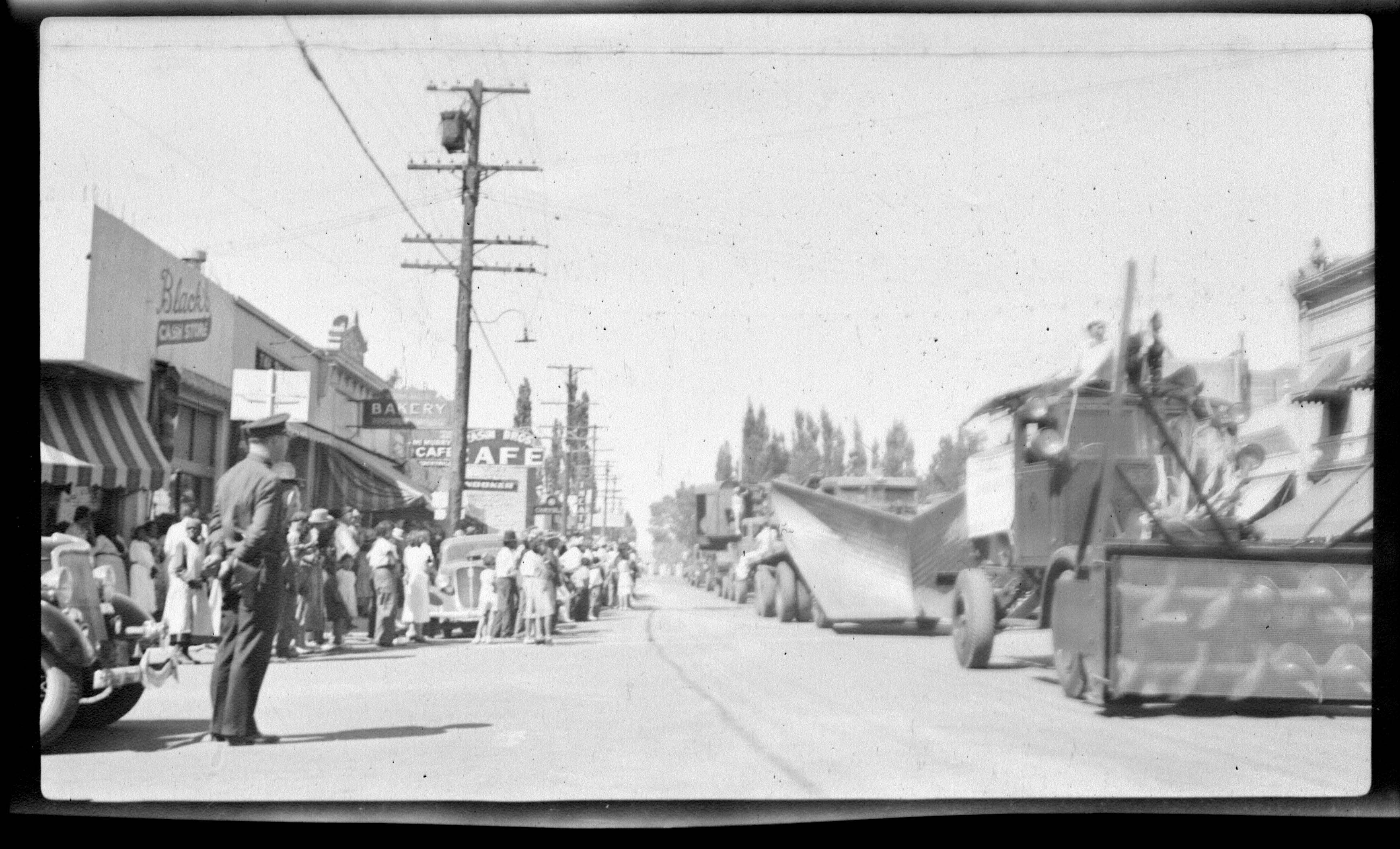
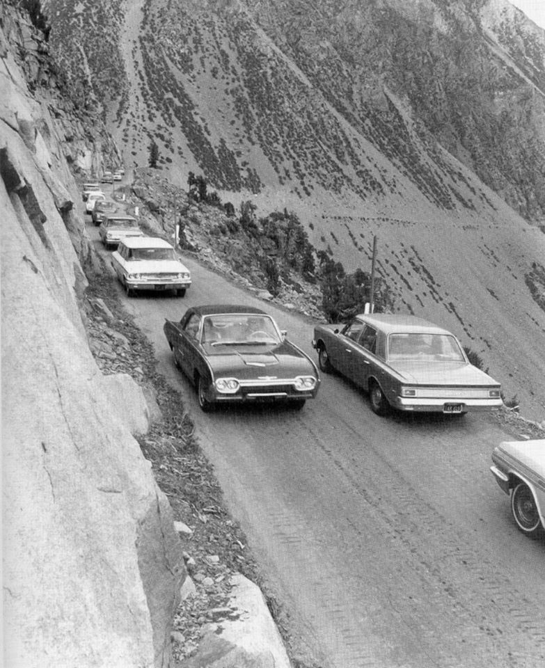
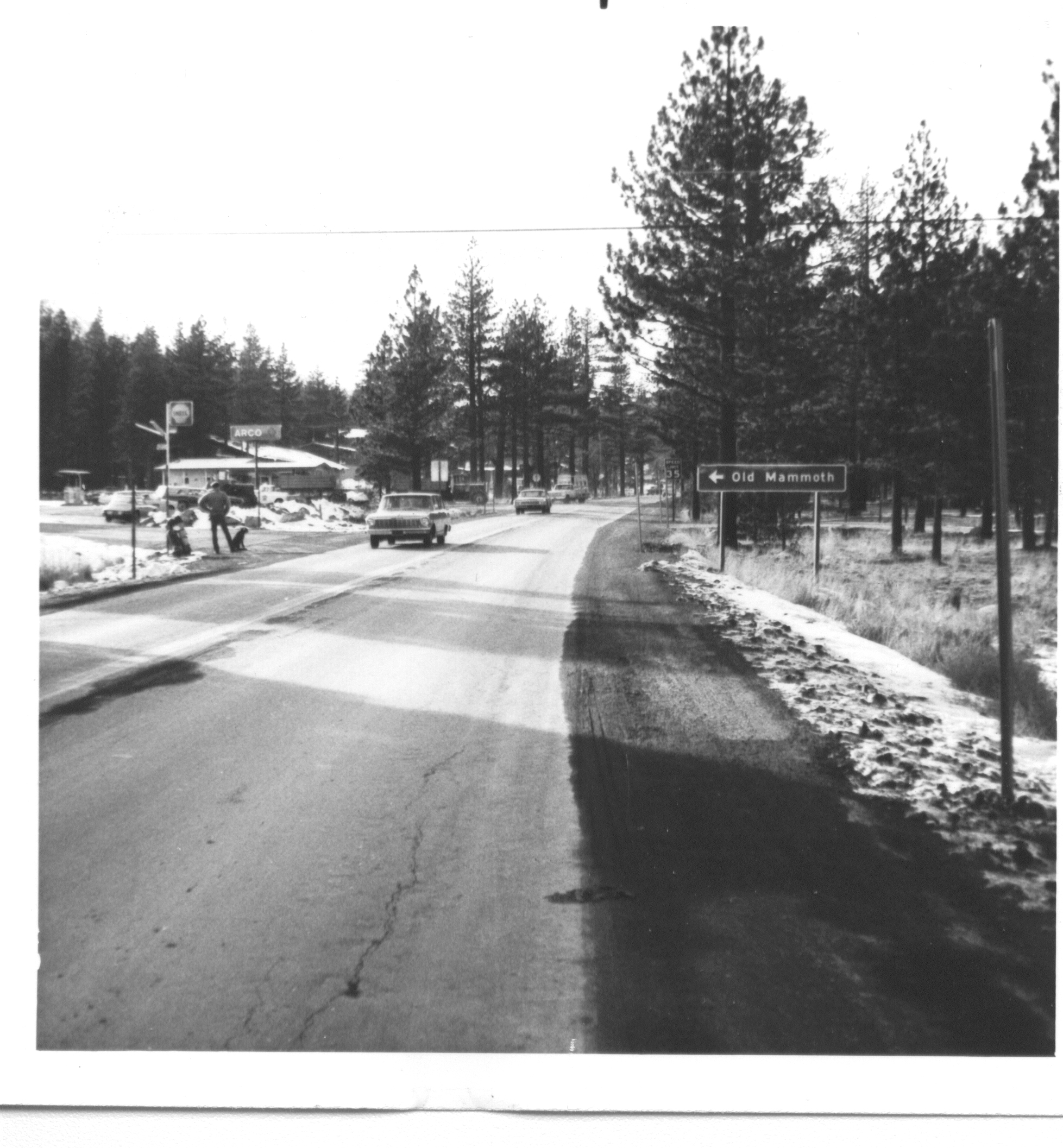
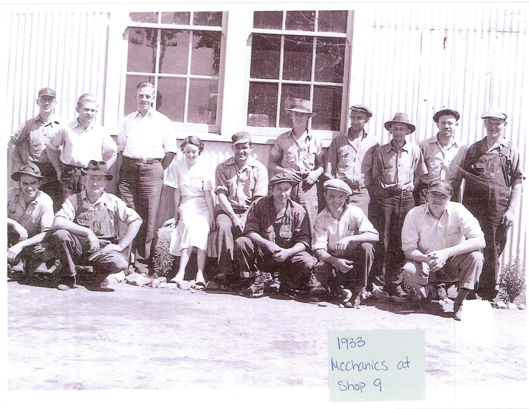
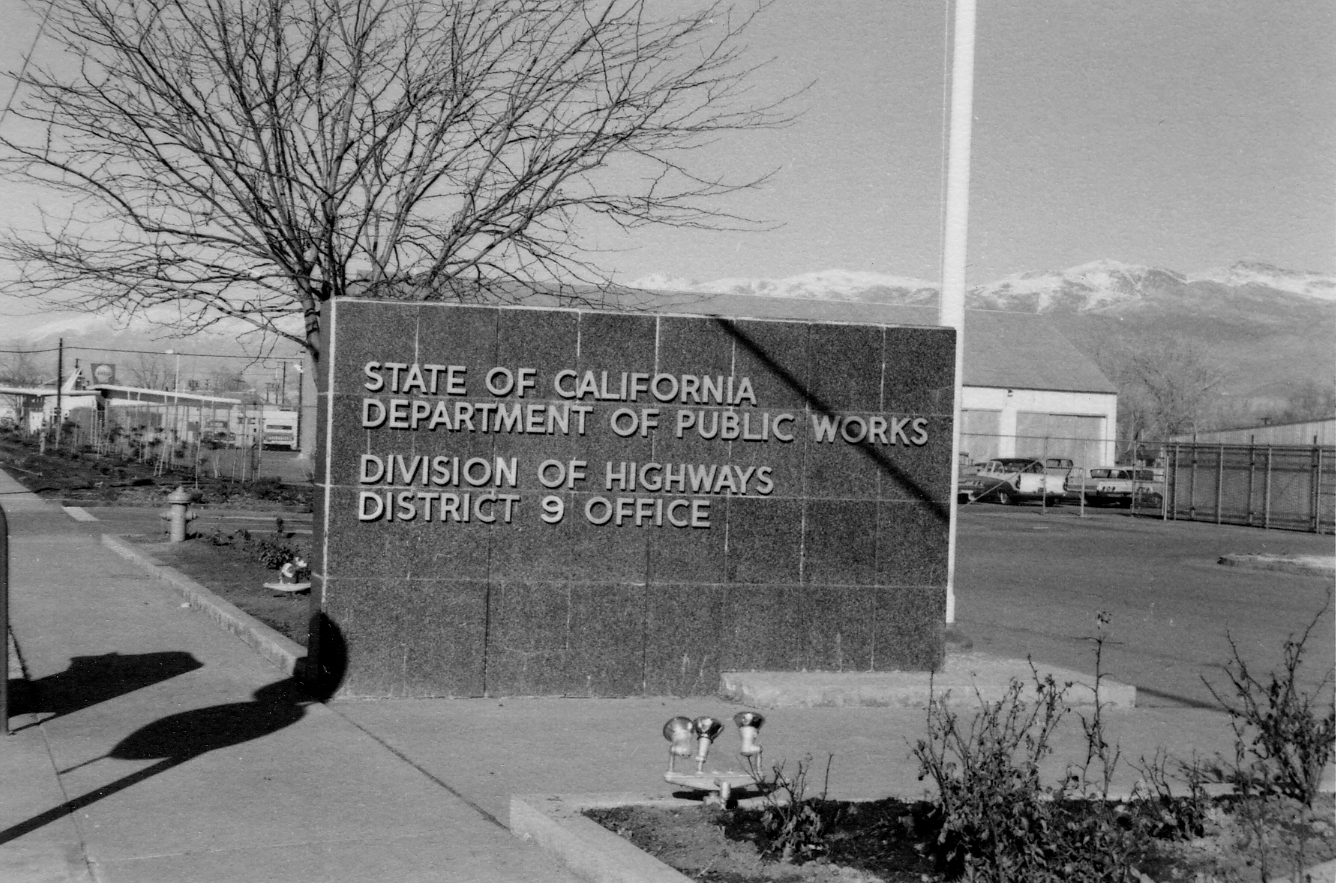
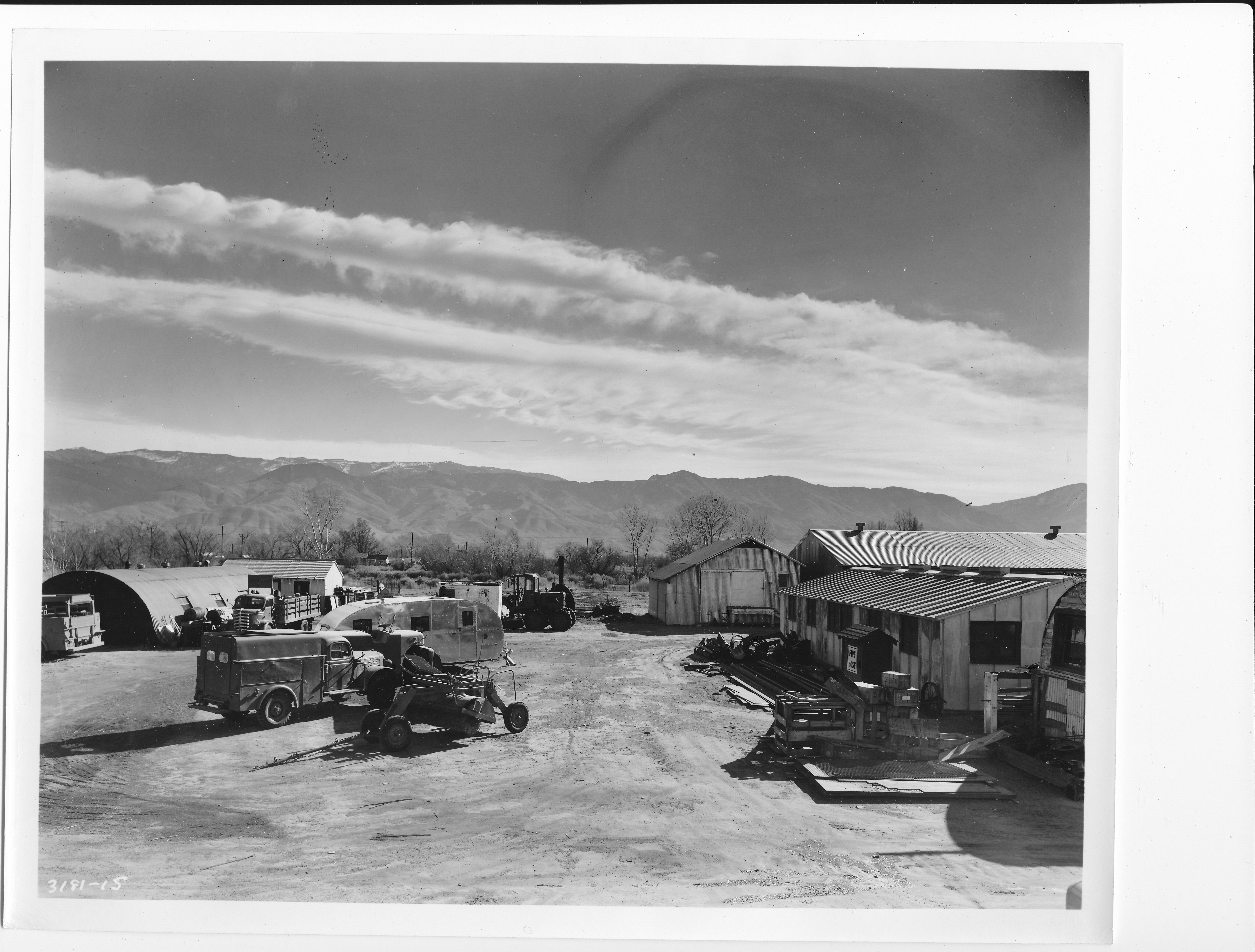
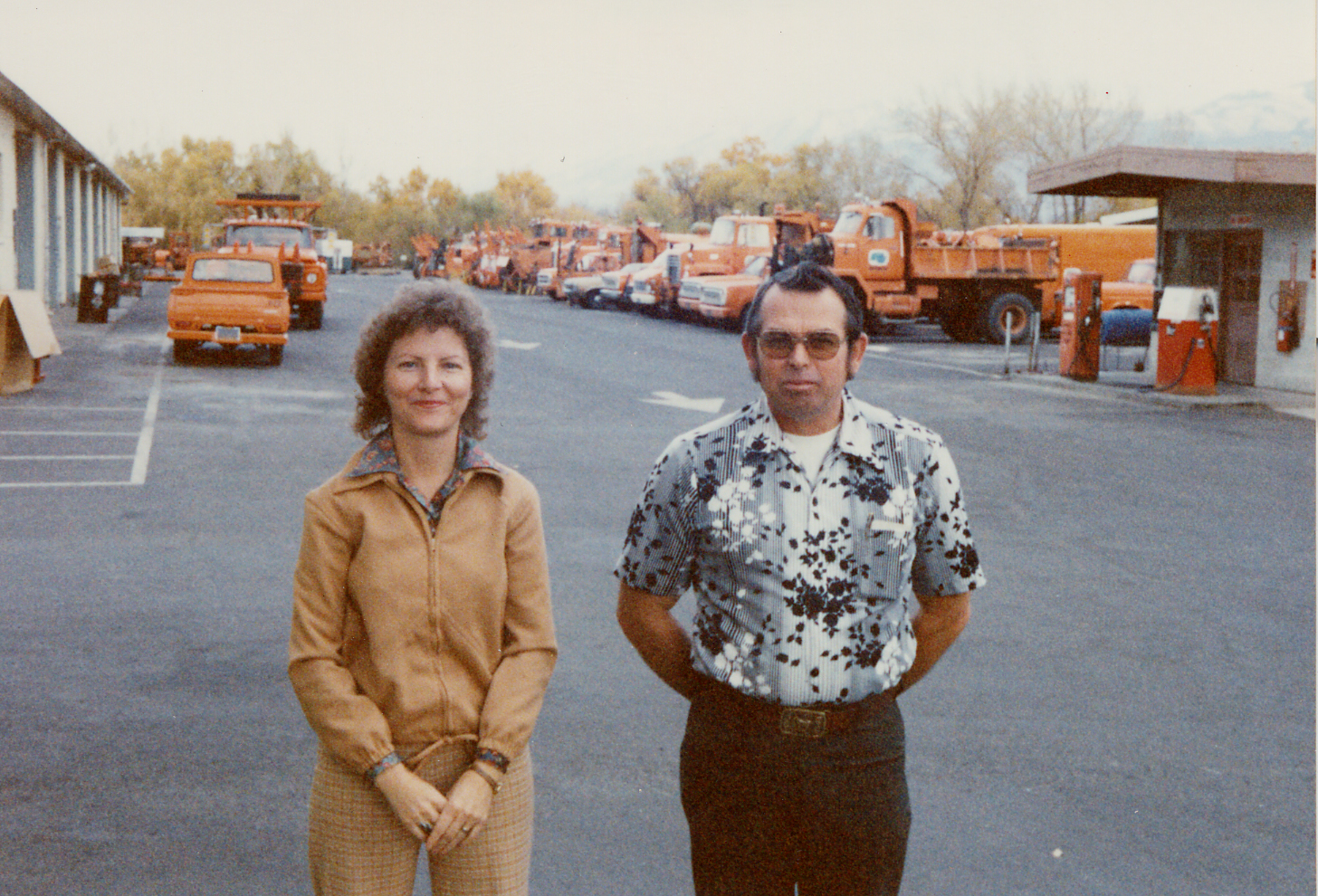
District 9 Historical Gallery

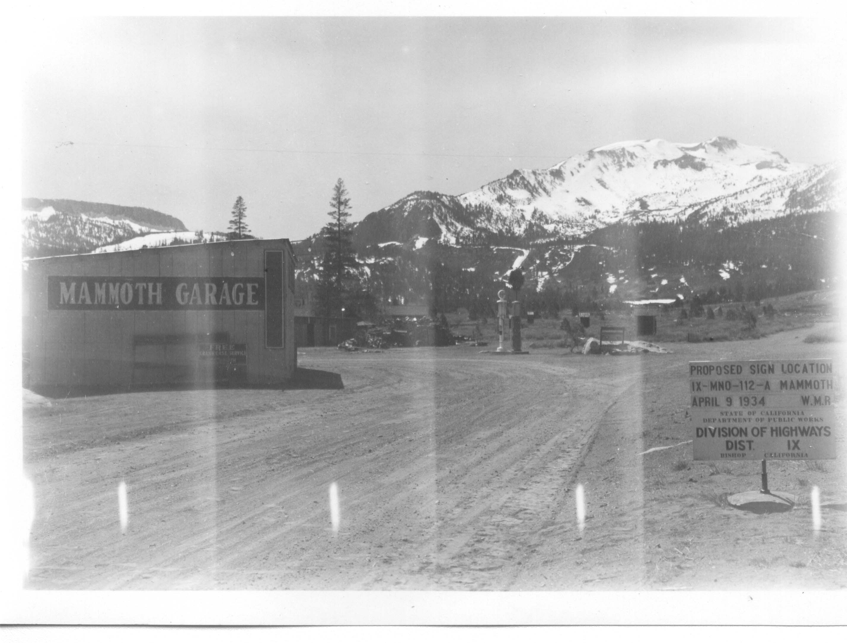
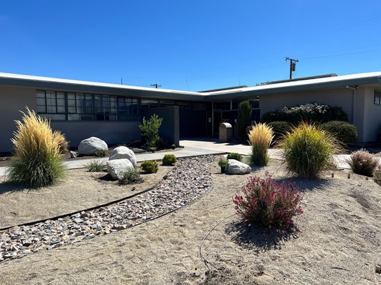
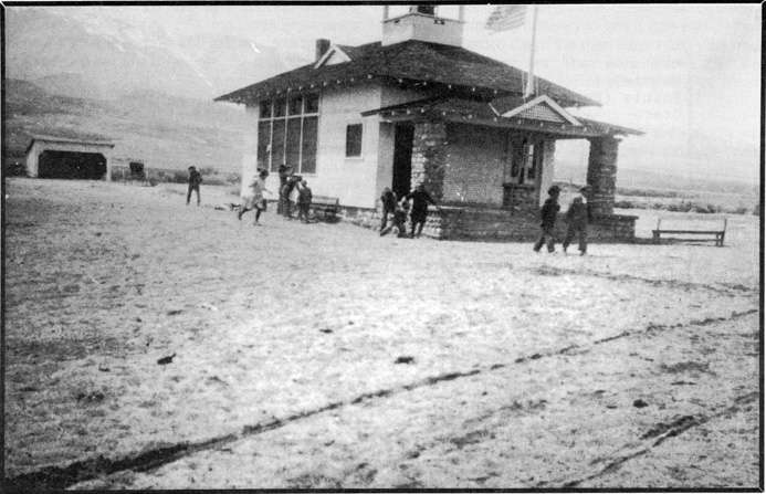
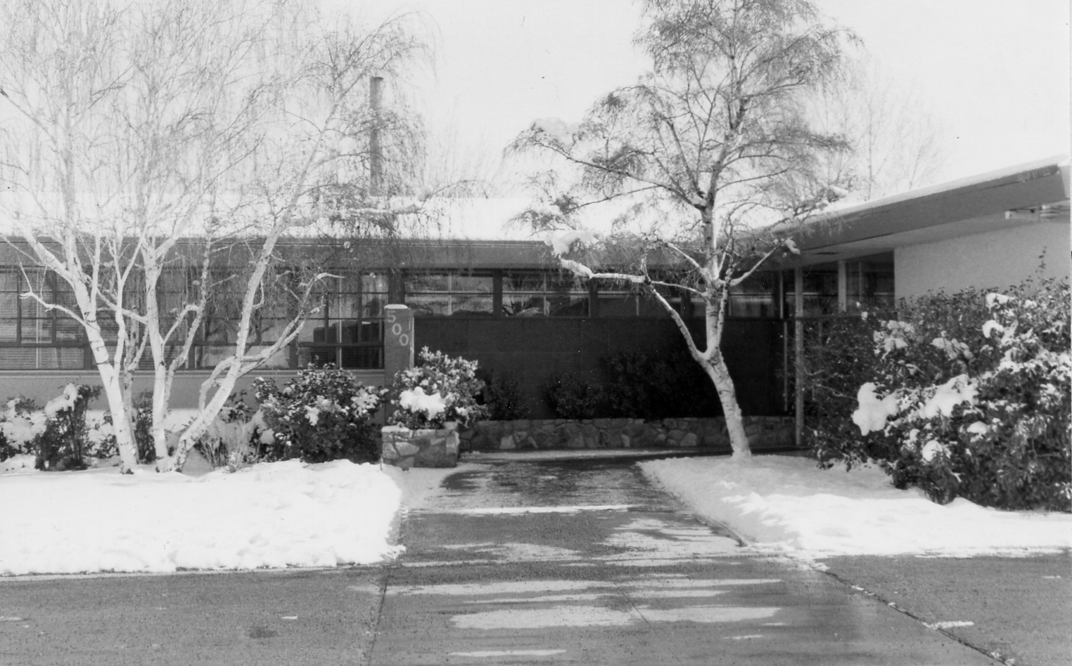
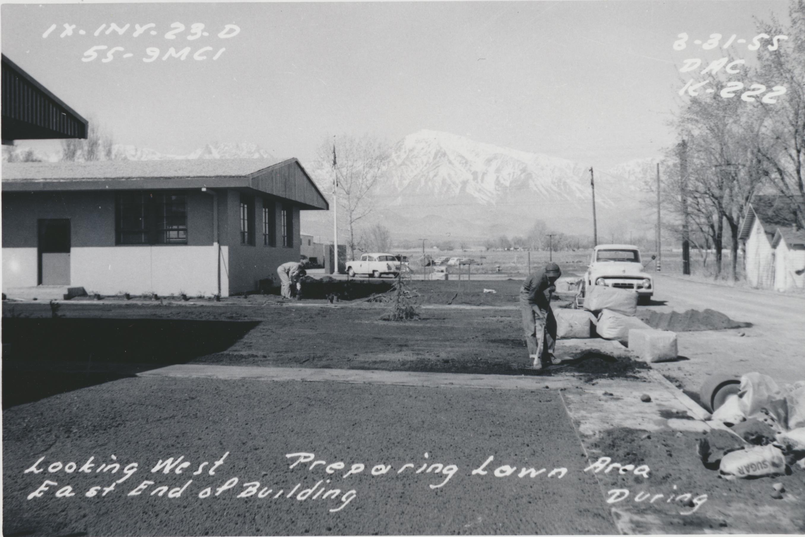
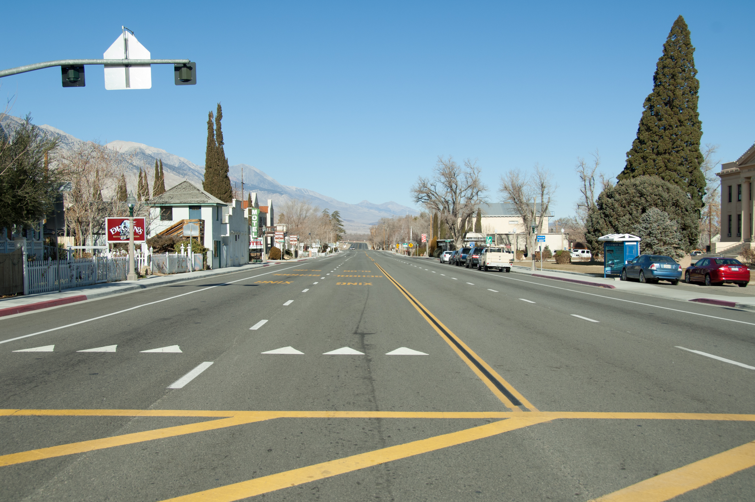
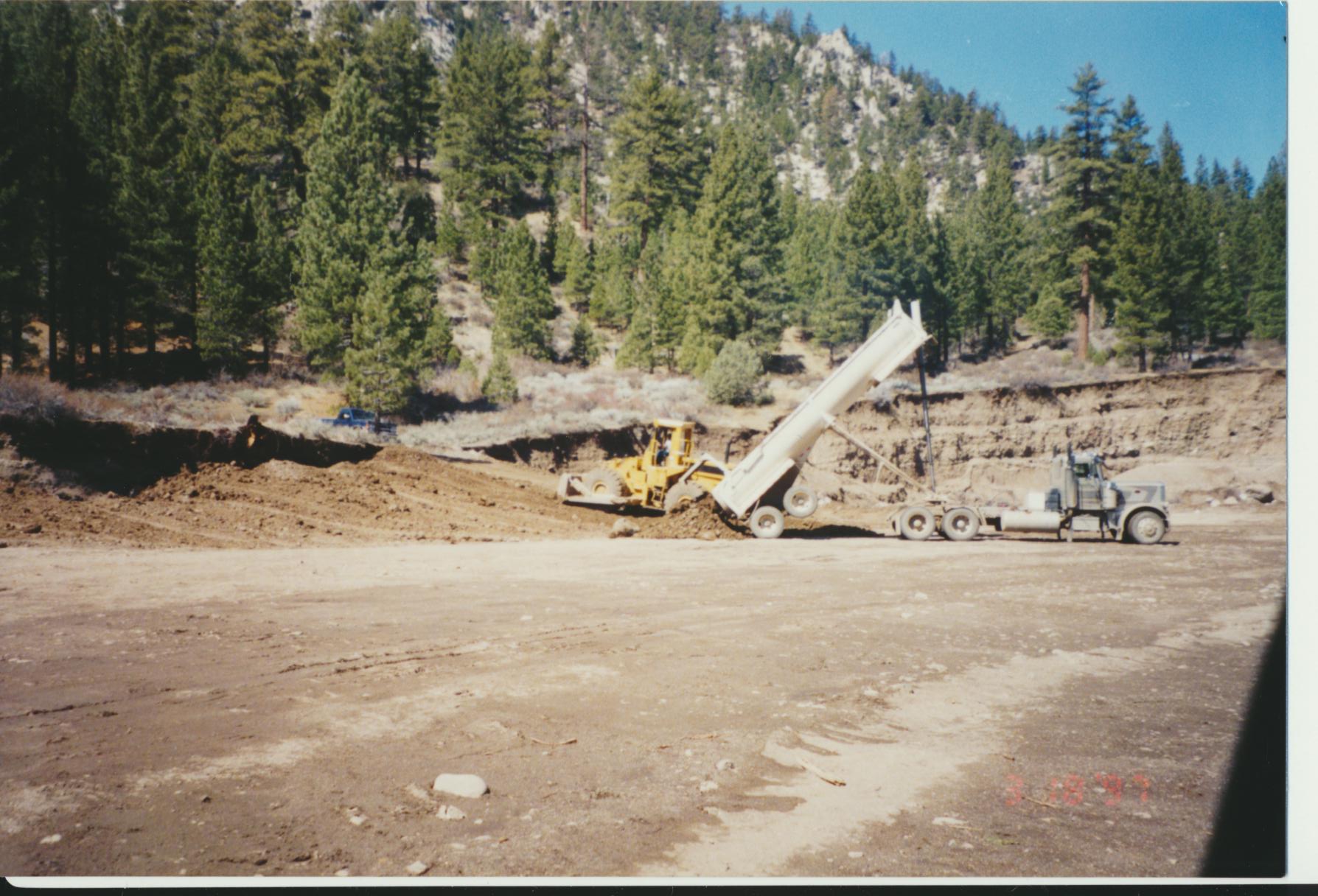
The District 9 District Office
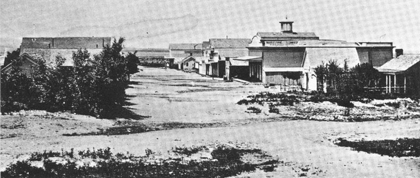
Before they were part of Division 9, the highways of Inyo, Mono, and eastern Kern counties were managed by Division 6 out of Fresno. Because of this, there was no building on this side of the mountains for those who worked here. In 1917, Dick Badger, who was assigned construction work in Inyo and Mono counties, successfully petitioned for a base of operations to be built where data, records, and reports could stored locally. On January 15, 1918, a 100' by 150' parcel of land was purchased on the south side of Bishop, and a two-room office building was erected in the southwest corner of the lot. That was the first building in what would eventually become the Caltrans District 9 District Office.
D9 District Office Through the Years
Major Projects in District 9
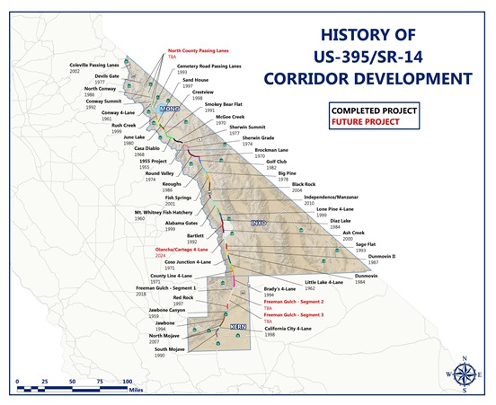
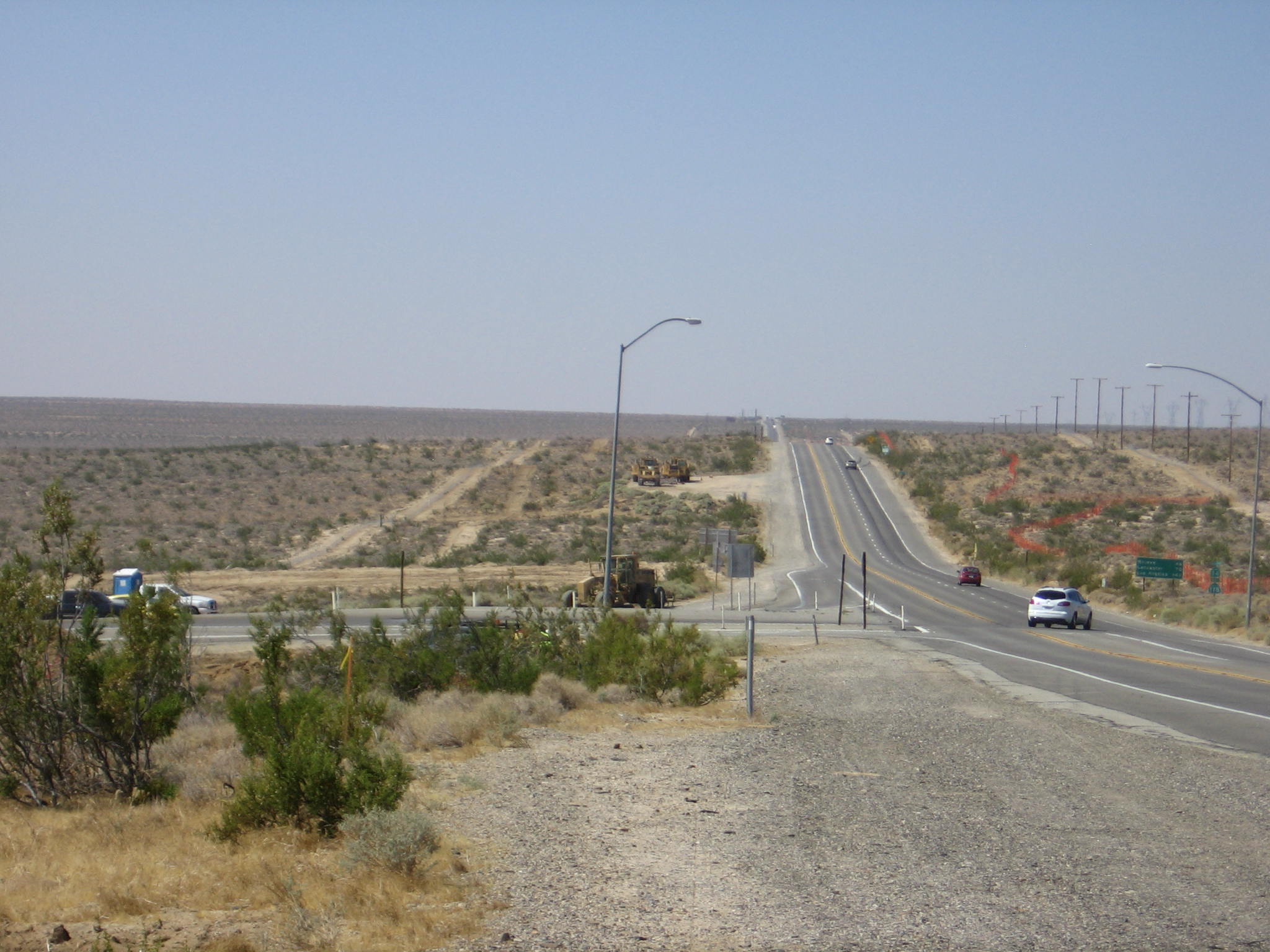
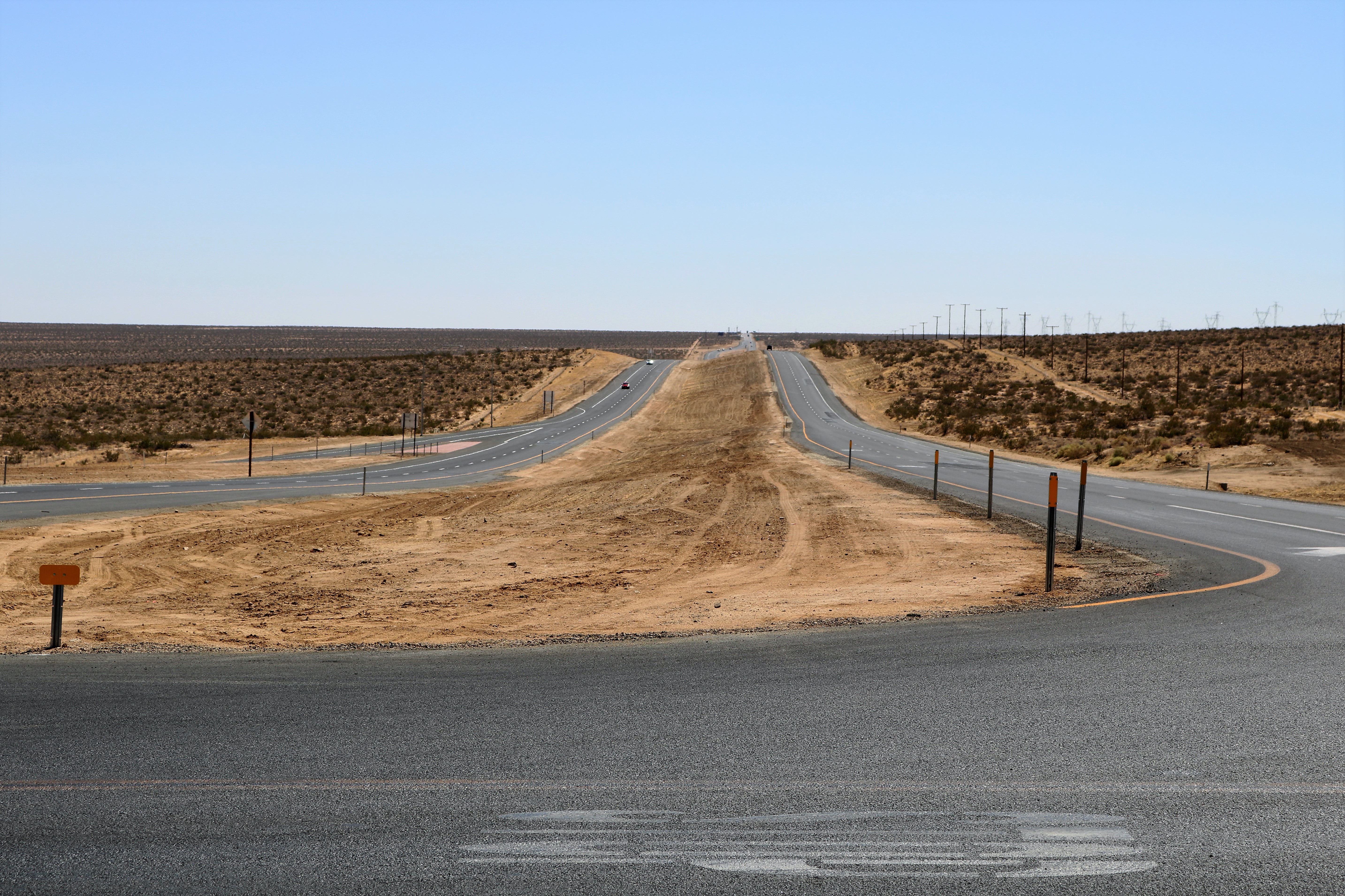
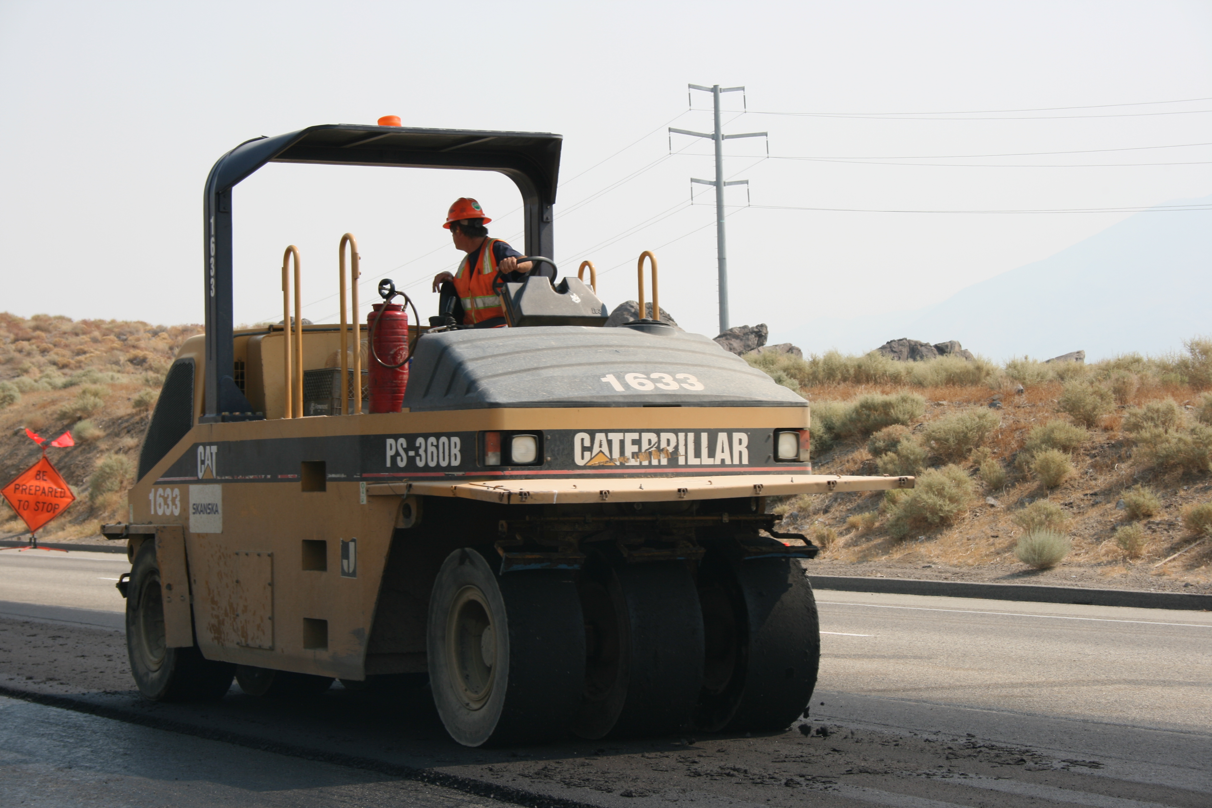
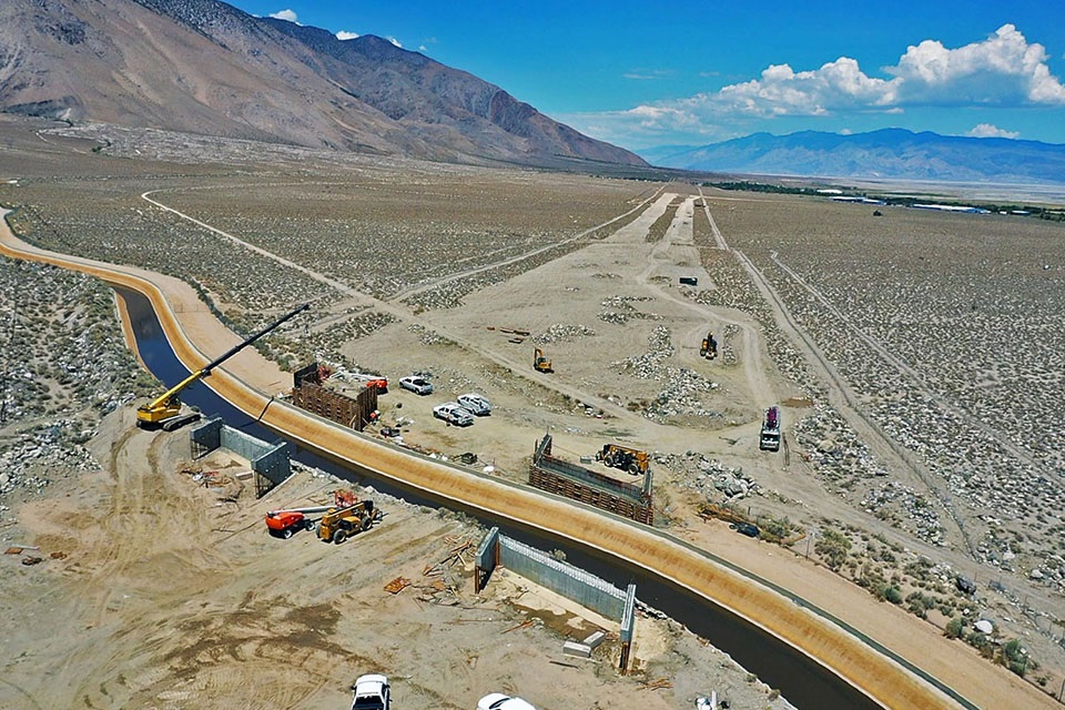
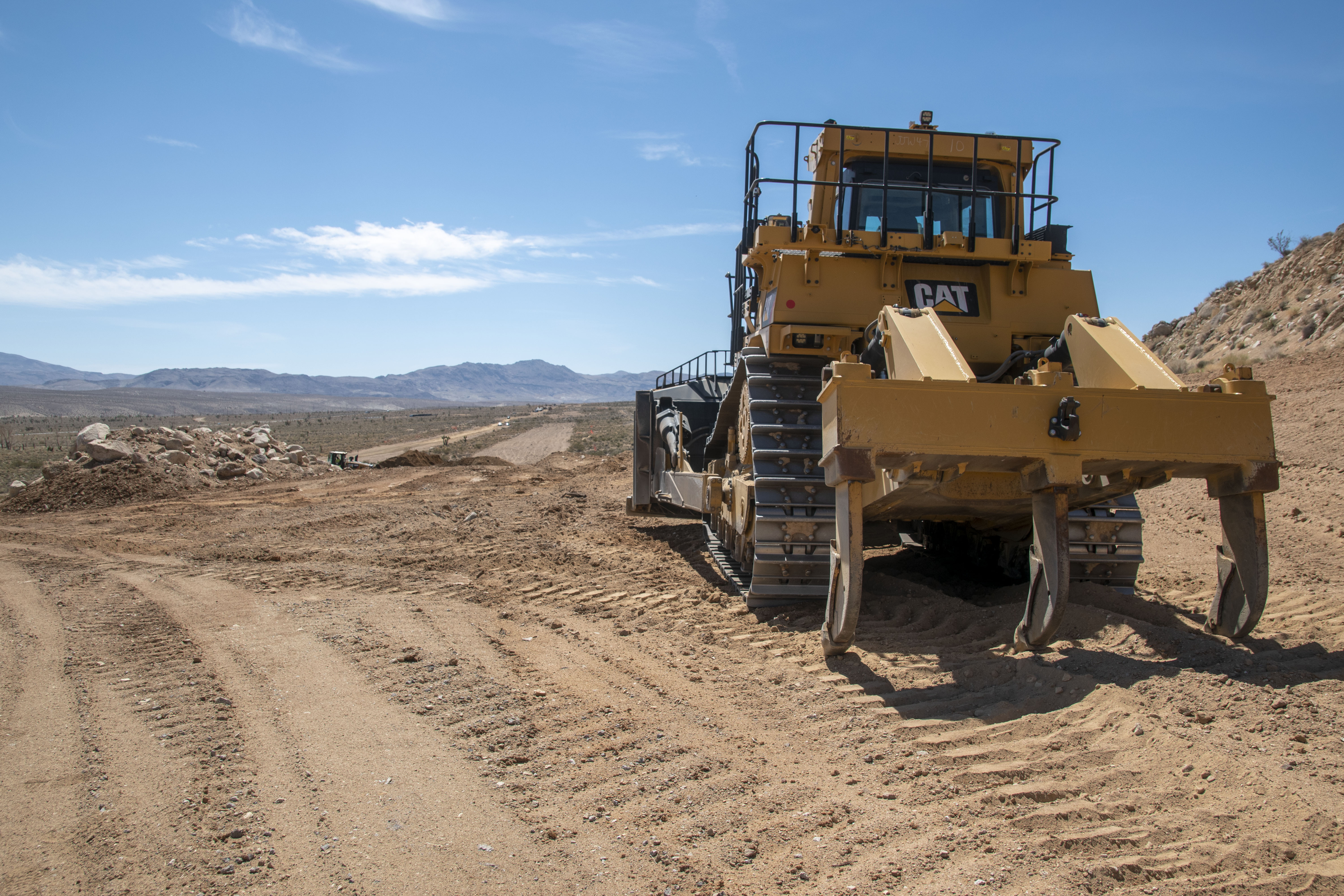
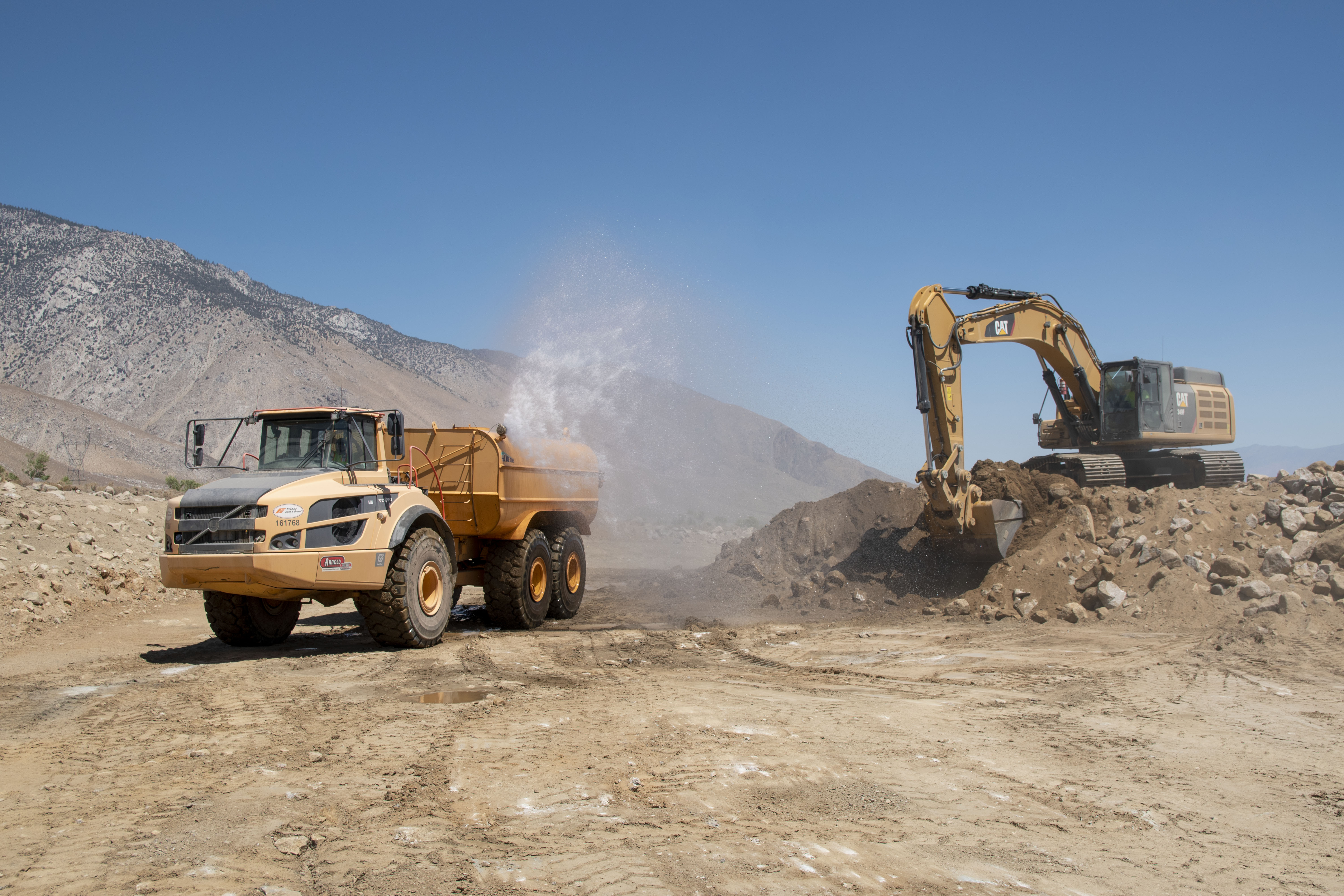
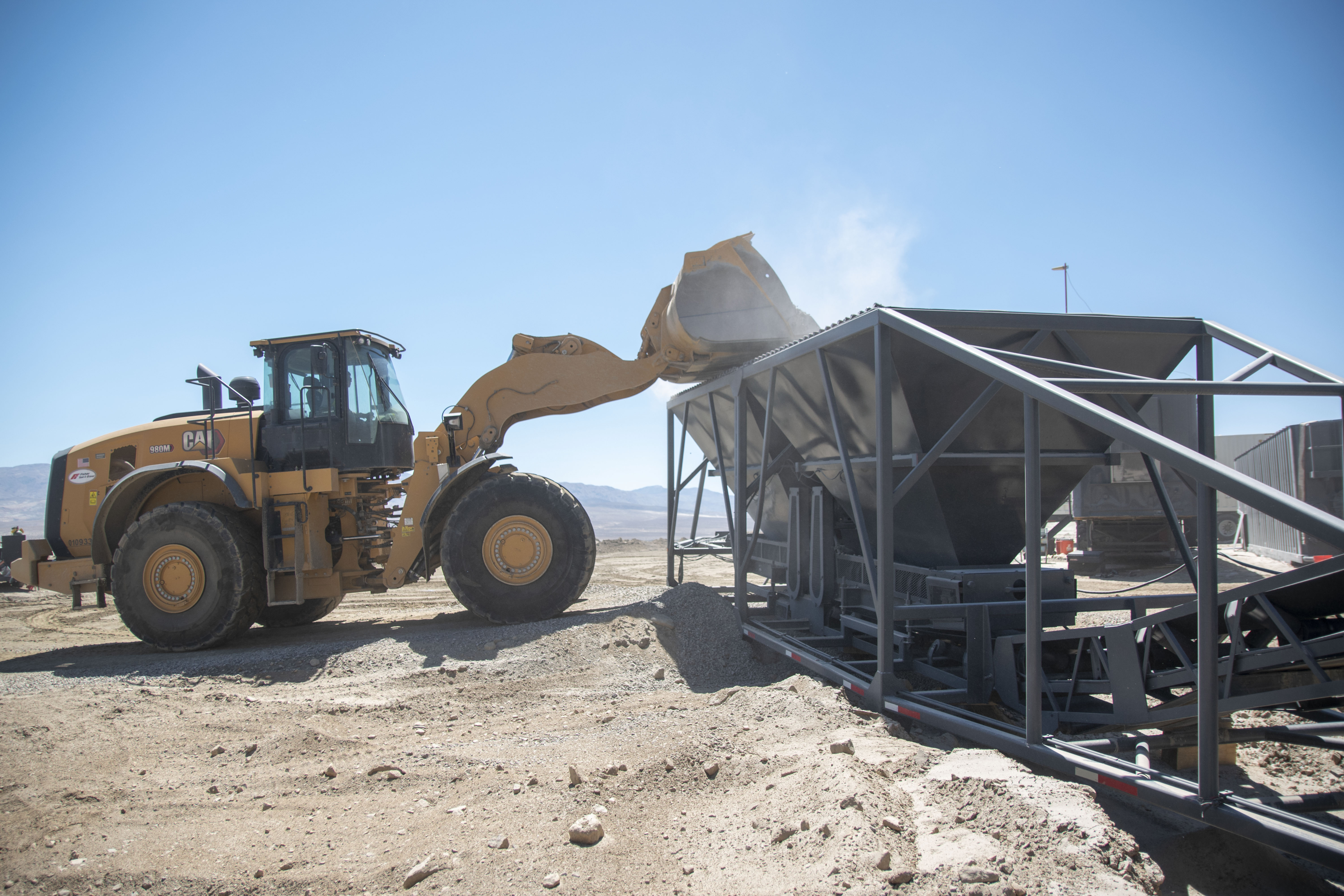
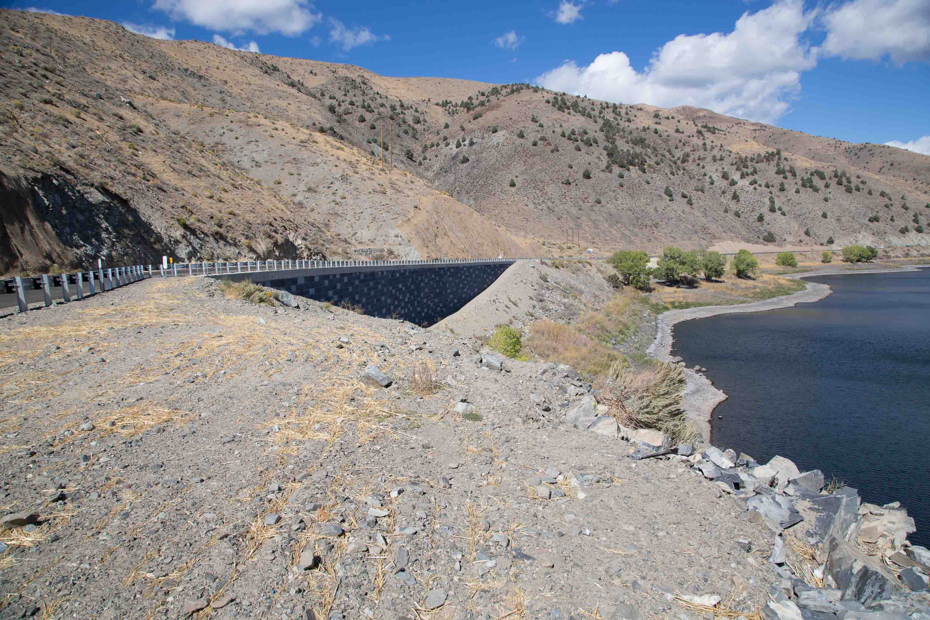
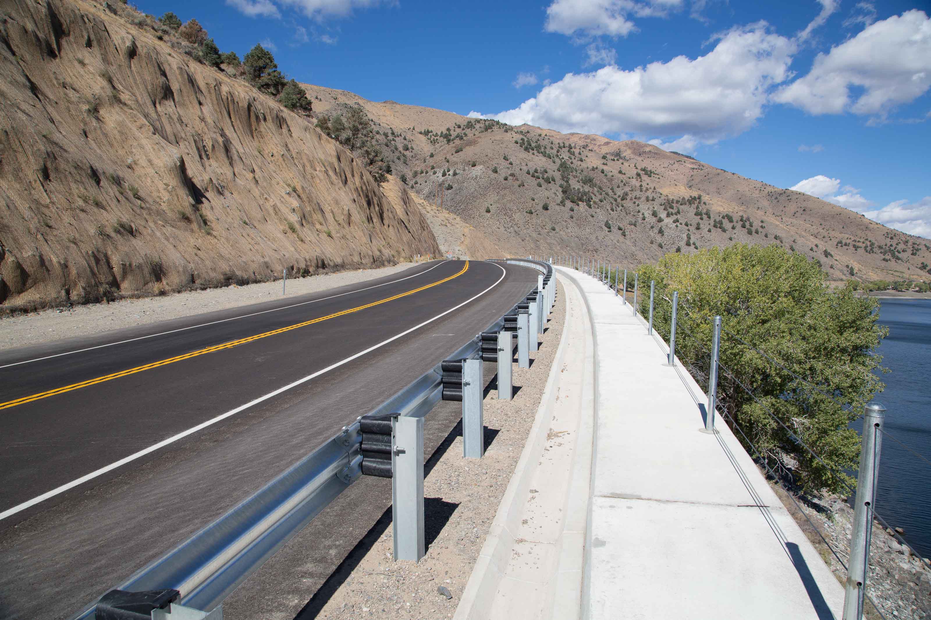
US 395-State Route 14 Corridor Project
Corridor Project Gallery
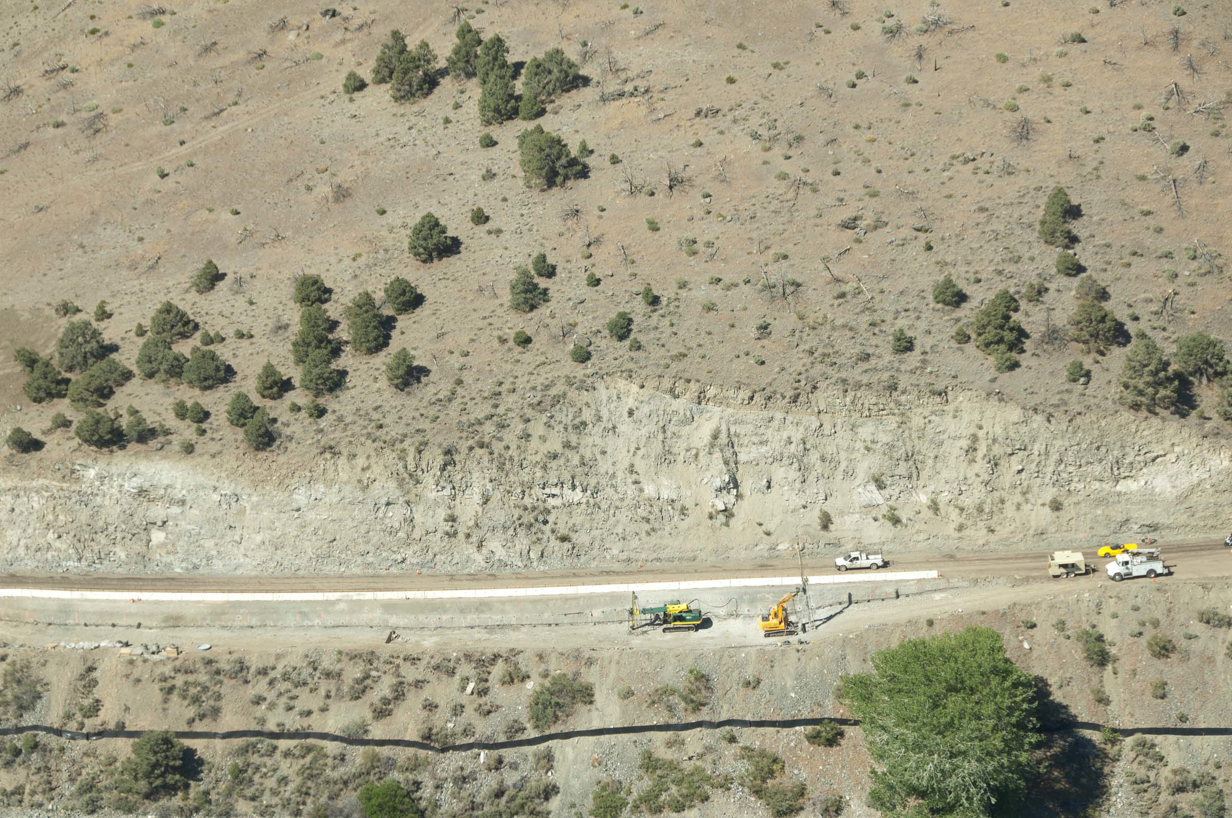
High Point Curve Correction Project
High Point Gallery
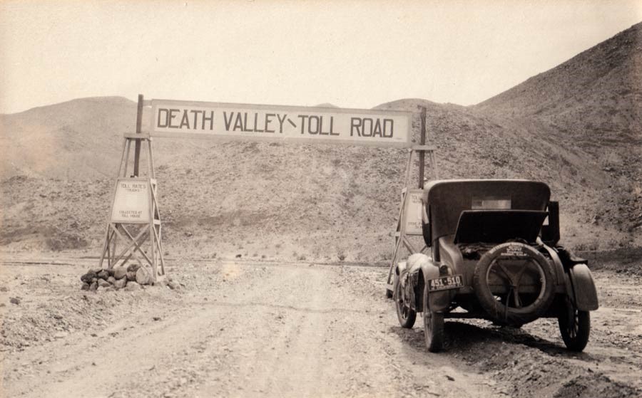
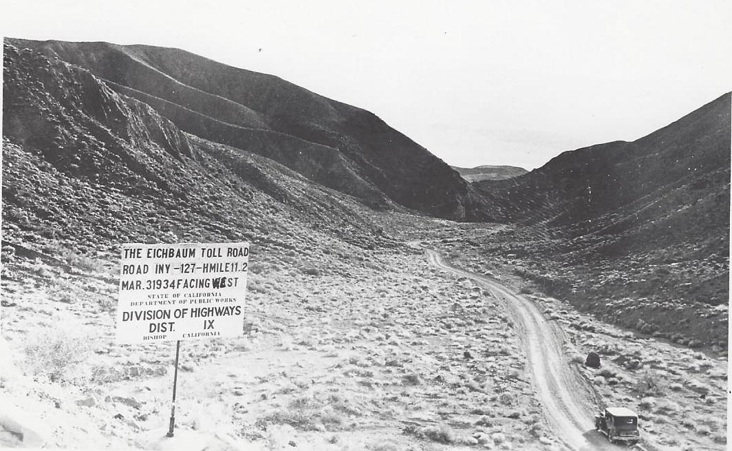
The Brief Life and Long Legacy of the Eichbaum Toll Road
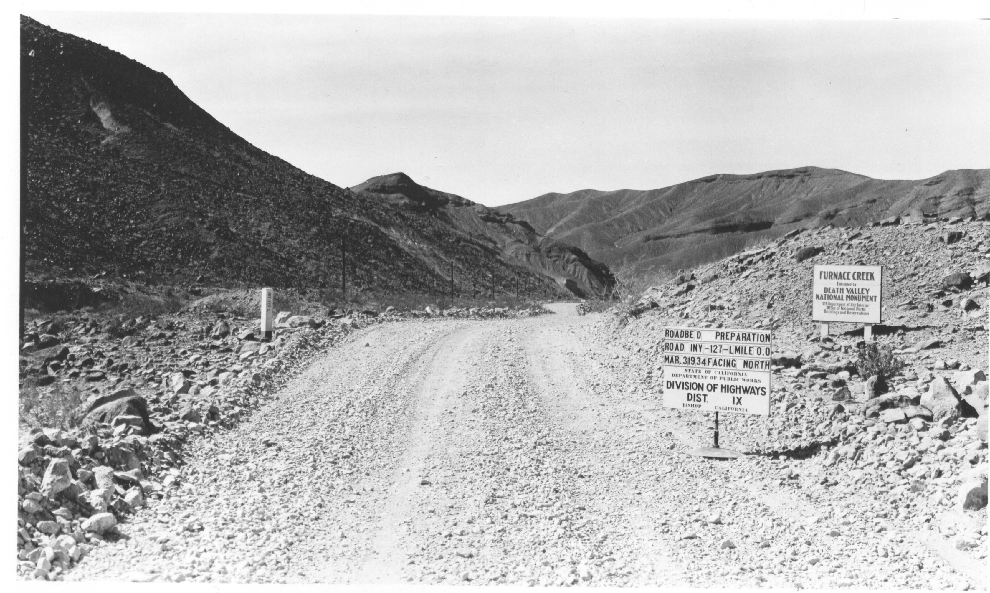
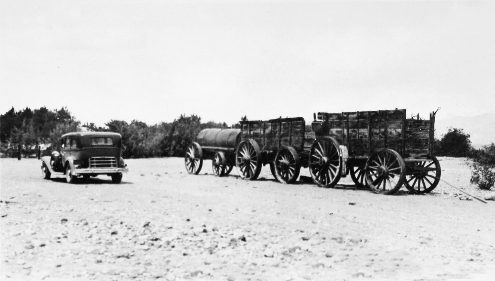
Virtually no tourism existed in the Death Valley region of Inyo County until the 1920s when affordable car ownership led to the rise of auto tourism. Deserts, at the time, did not register in the minds of most as vacation destinations, particularly in a place called "Death Valley." In 1921, a road survey and mapping crew from the Automobile Club of Southern California labeled the land the "terror of the West" and "the most maligned natural attraction America has to offer."
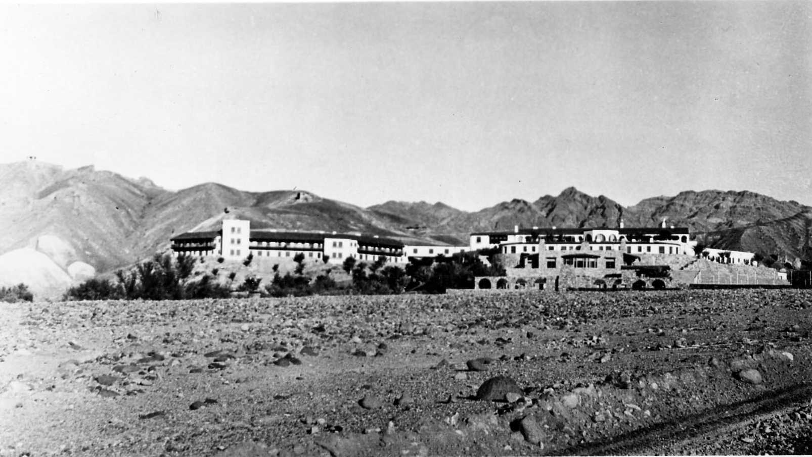
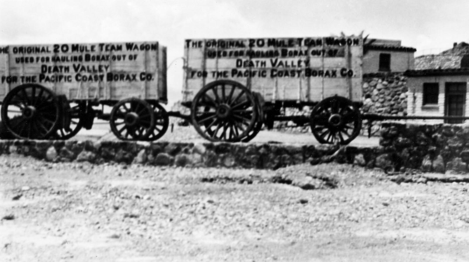
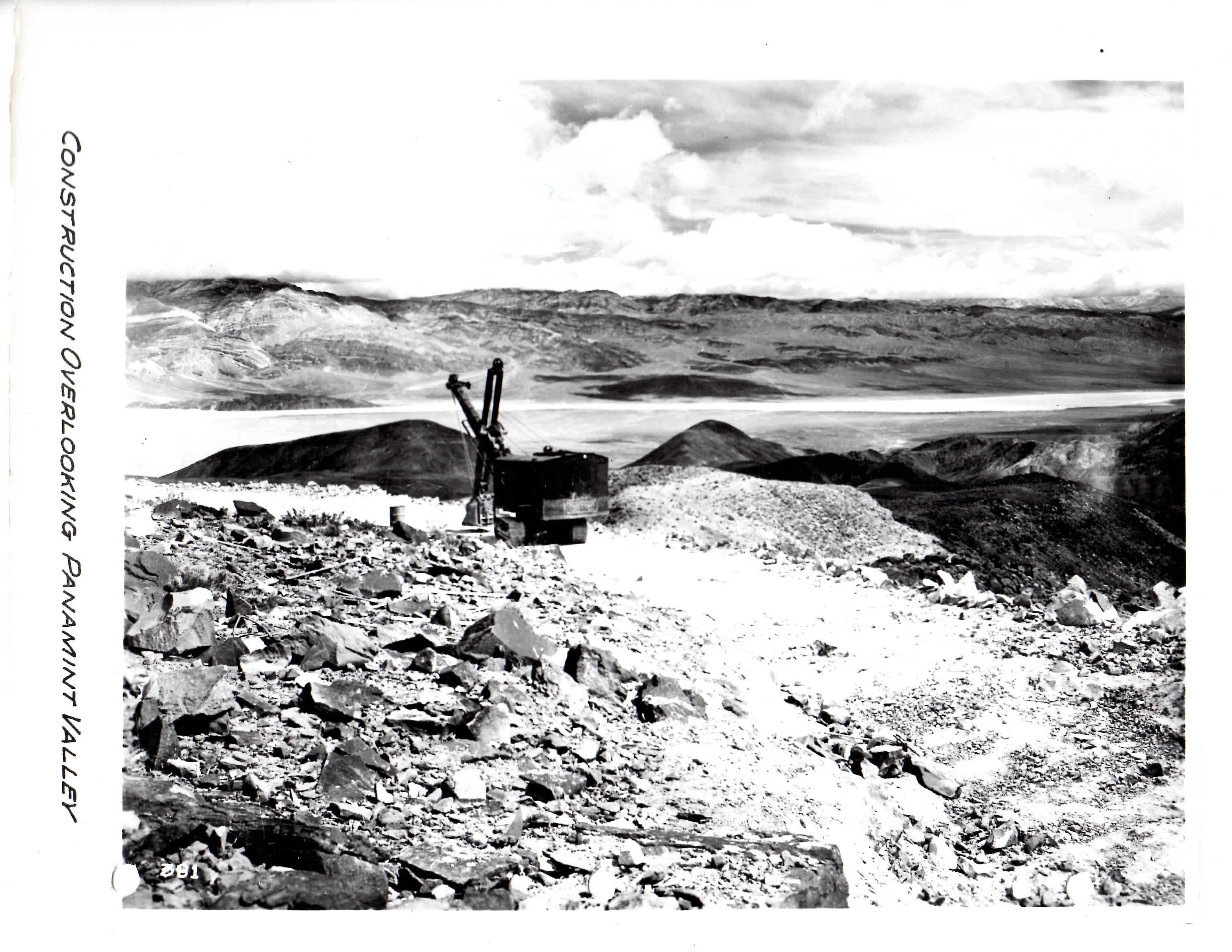
But not everyone saw it that way. Herman William (H.W.) Eichbaum had worked in mining as a young adult before moving into tourism. He built the first tourist resort at Stovepipe Wells in Death Valley in 1926. A year later, the Pacific Coast Borax Company built the Furnace Creek Inn. Both locations would prove to be popular destinations with tourists who could reach the isolated resorts on the Eichbaum Toll Road. Built between 1925 and 1926, the road connected the town of Darwin to Stovepipe Wells. With these pieces in place, tourists far and wide started to recognize Death Valley as an attraction worth seeing. In the winter of 1928/29, more than 10,000 tourists visited the valley.
Eichbaum died on February 16, 1932. Nearly one year later, President Herbert Hoover designated Death Valley as a National Monument. Around the same time, the California State Division of Highways was looking into purchasing the Eichbaum Toll Road. The popularity of the road was waning as people found different routes into Death Valley that didn't involve paying a toll. On December 5, 1934, the Division of Highways offered Helene Eichbaum, H.W.'s widow, $25,000 for the road. The deal was accepted, and all rights to the road were transferred to the State of California on December 19, 1934.
Much of the Eichbaum Toll Road still exists today as part of State Route 190. The route still brings visitors to Stovepipe Wells, but it also connects them to Panamint Springs and Furnace Creek within Death Valley National Park. Each year, thousands of tourists from around the world use the highway to see the mesmerizing beauty of this unlikely national park. Without the vision of H.W. Eichbaum, State Route 190 and Death Valley National Park might not exist as they do today.
To read more about the Eichbaum Toll Road, click here: Eichbaum Toll Road Historic Context Report
Eichbaum Toll Road in Photos
Notable Events in District 9 History
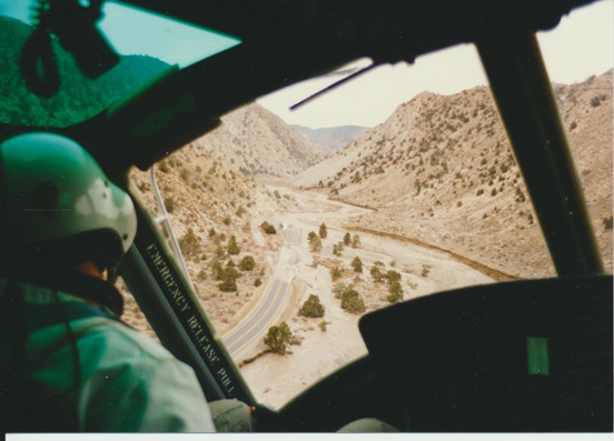
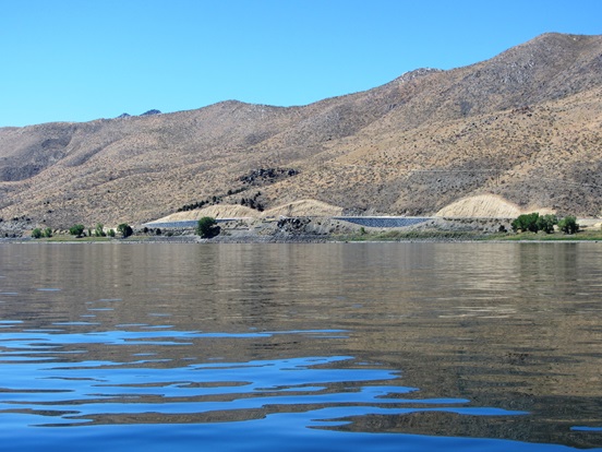
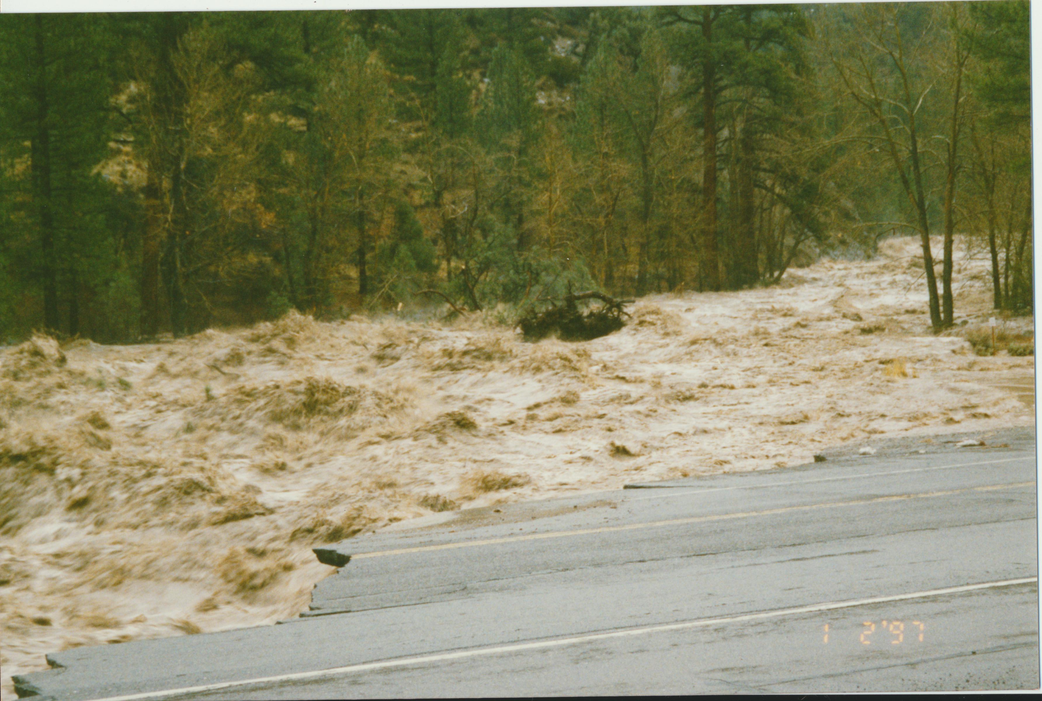
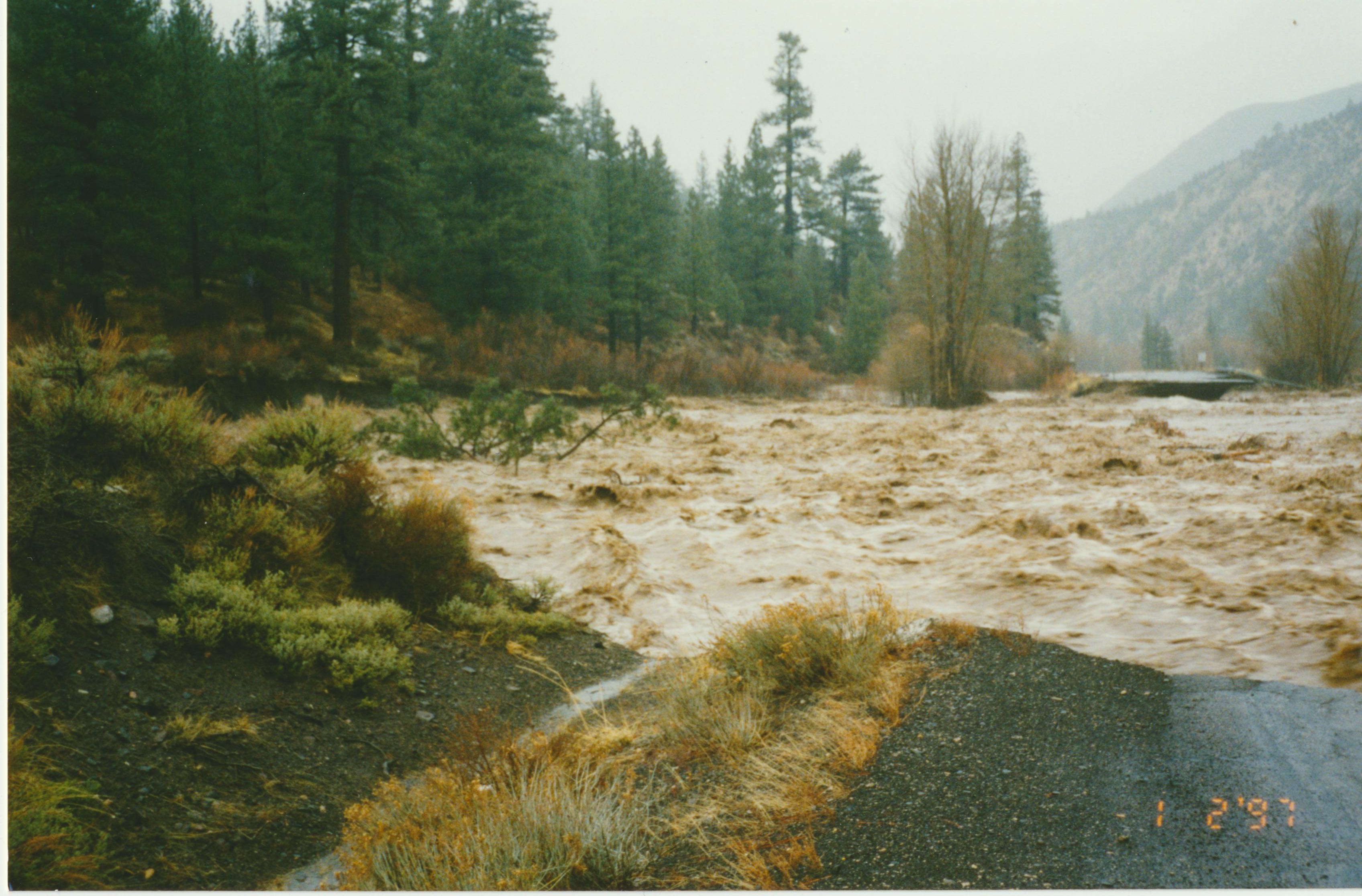
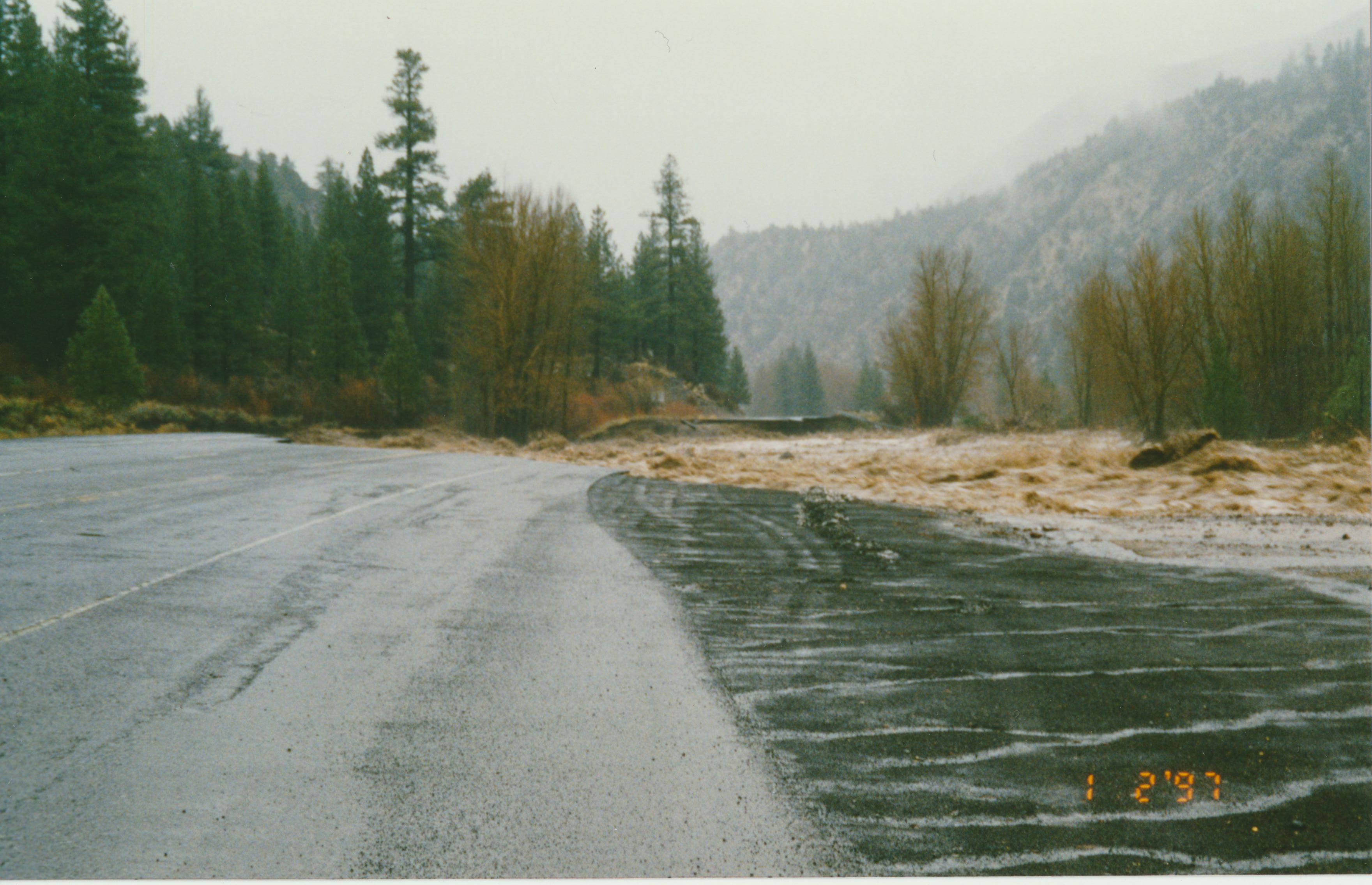
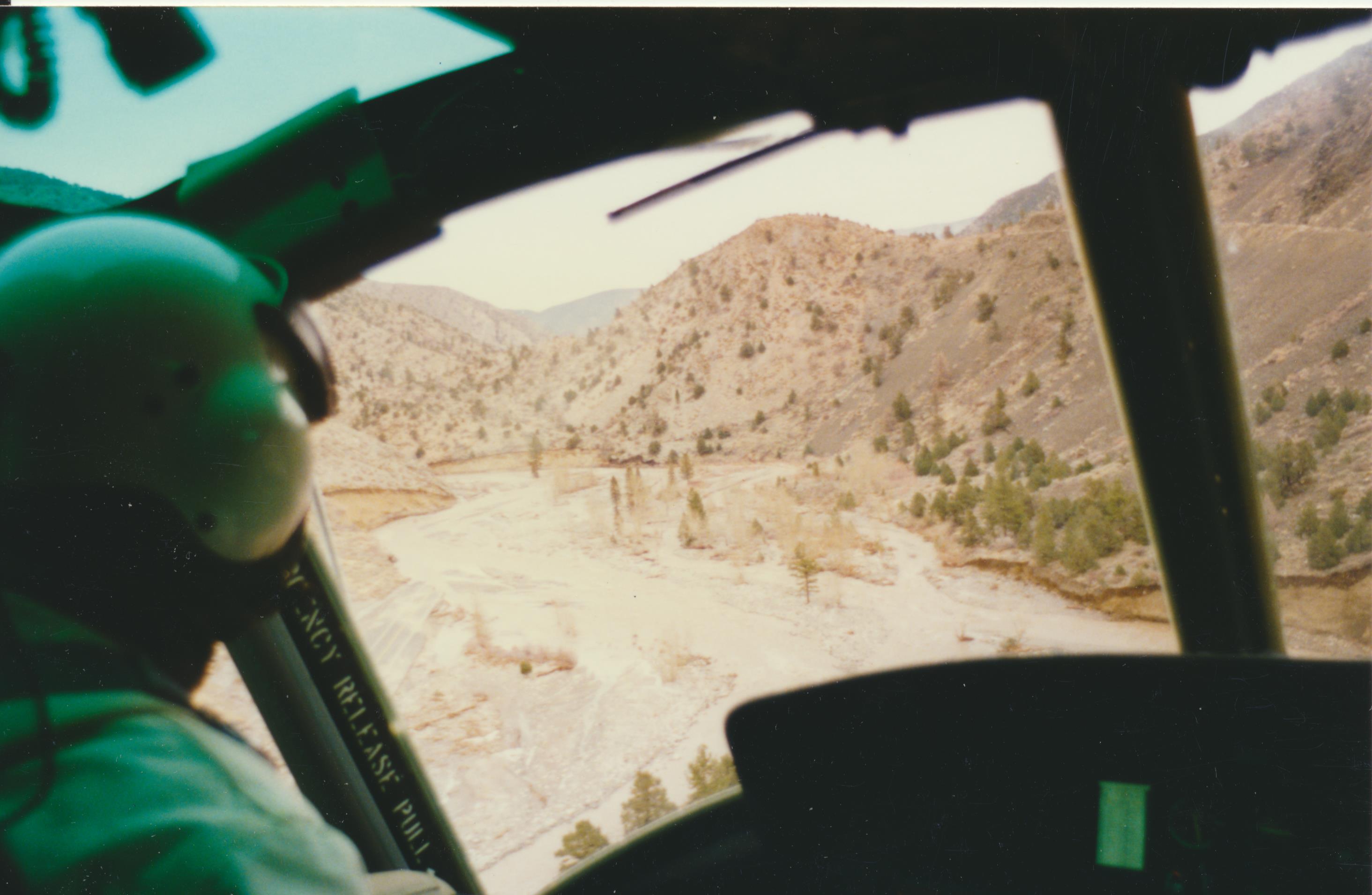
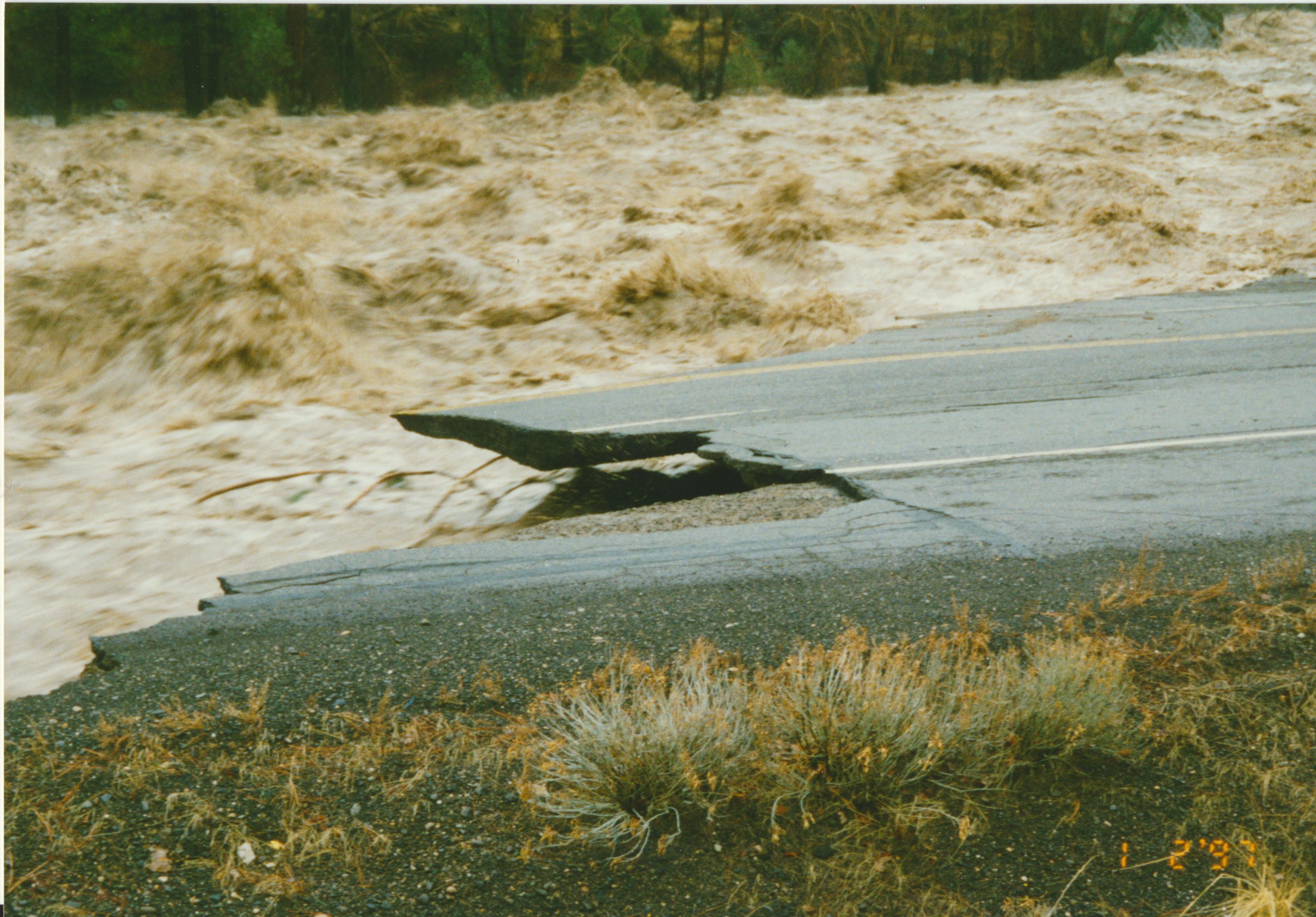
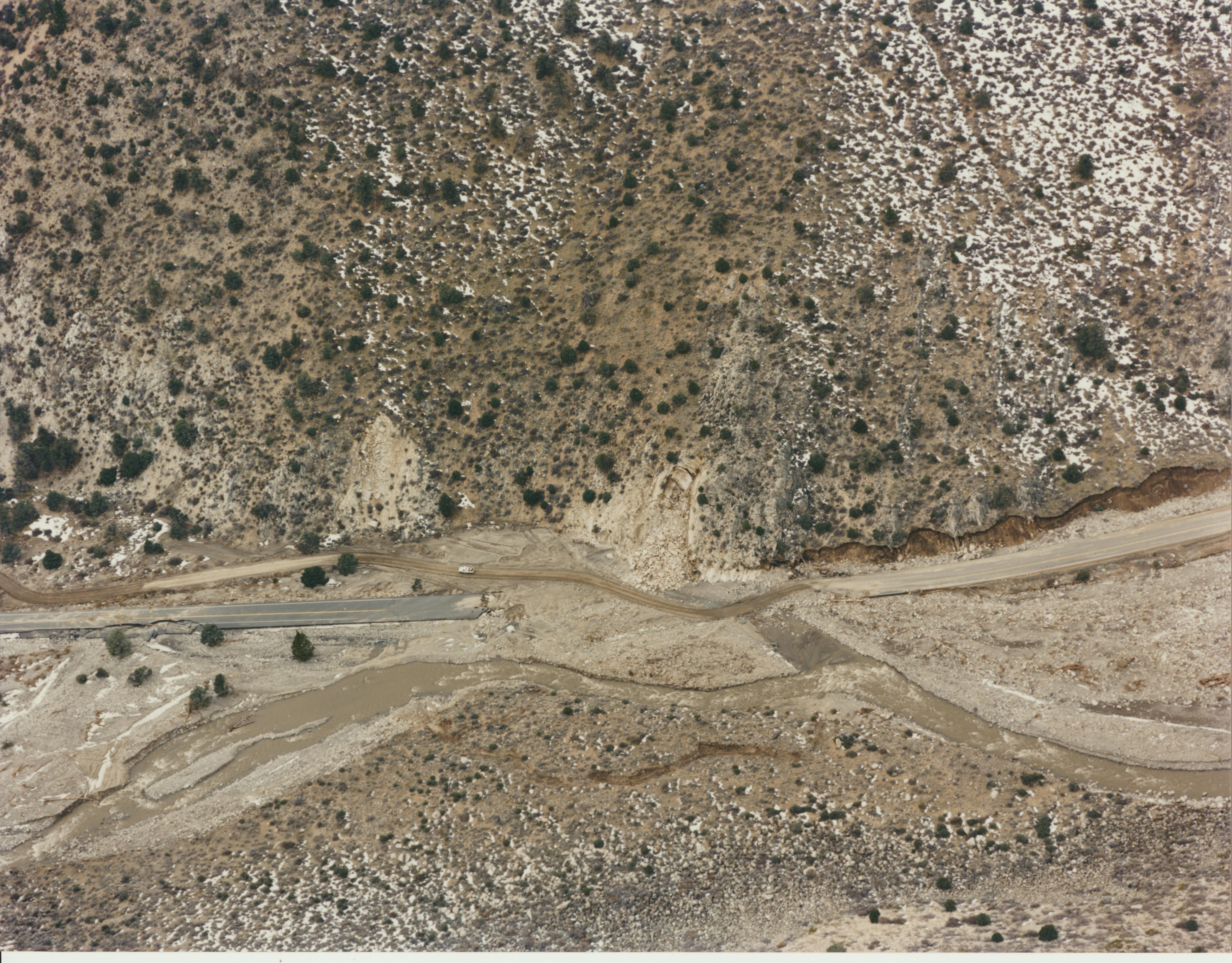
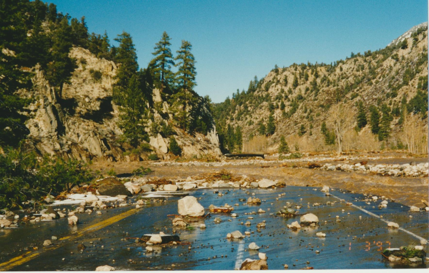
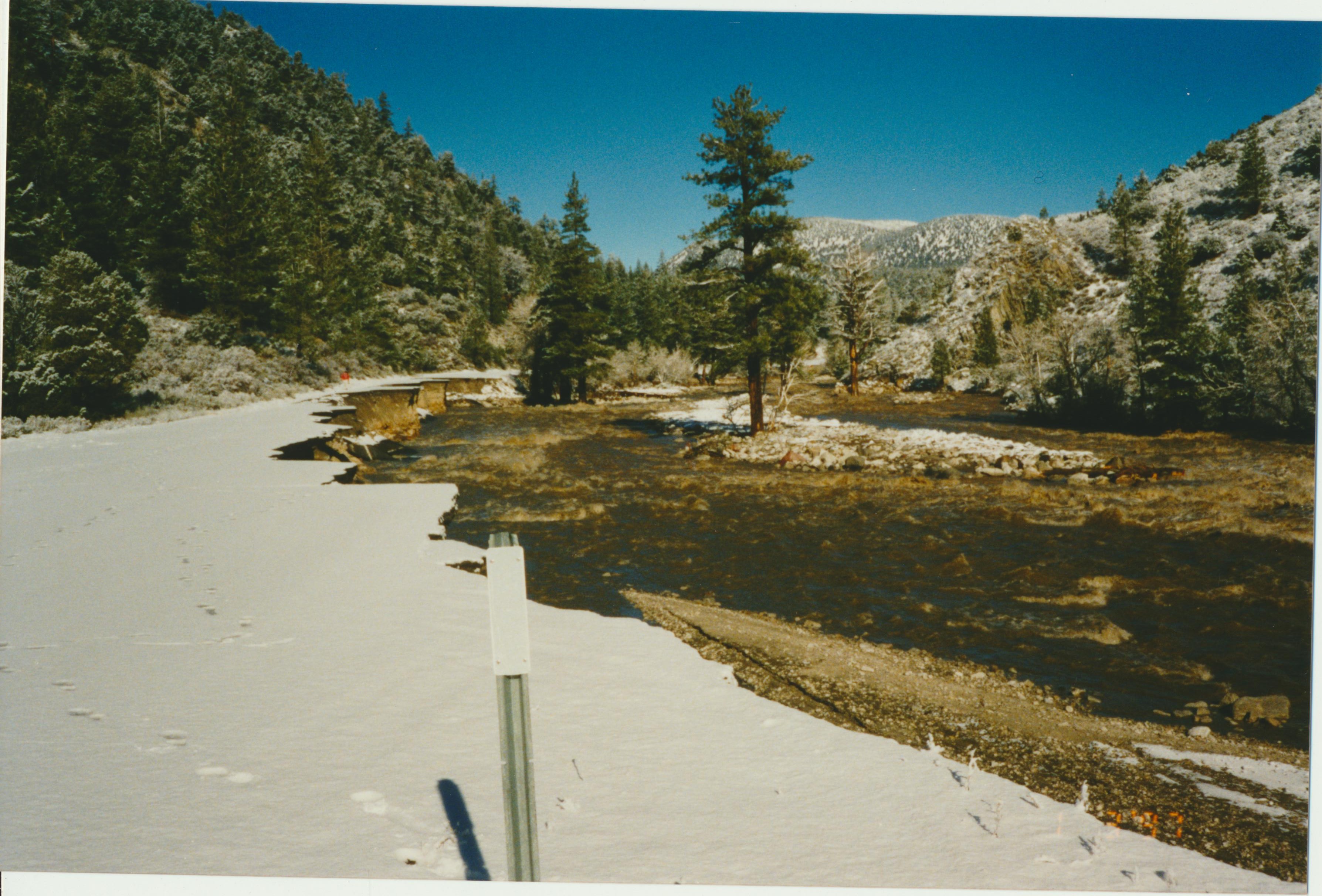
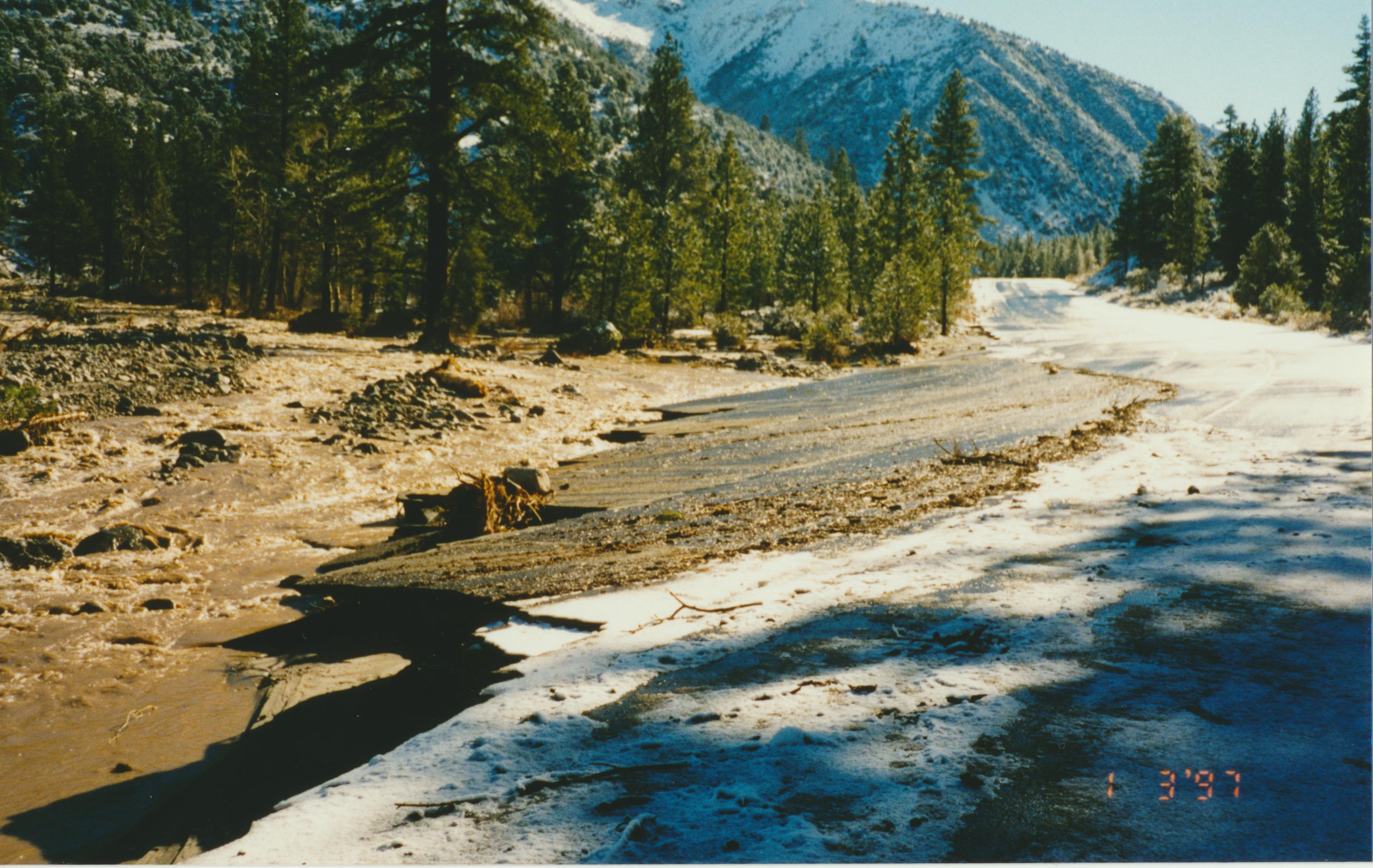
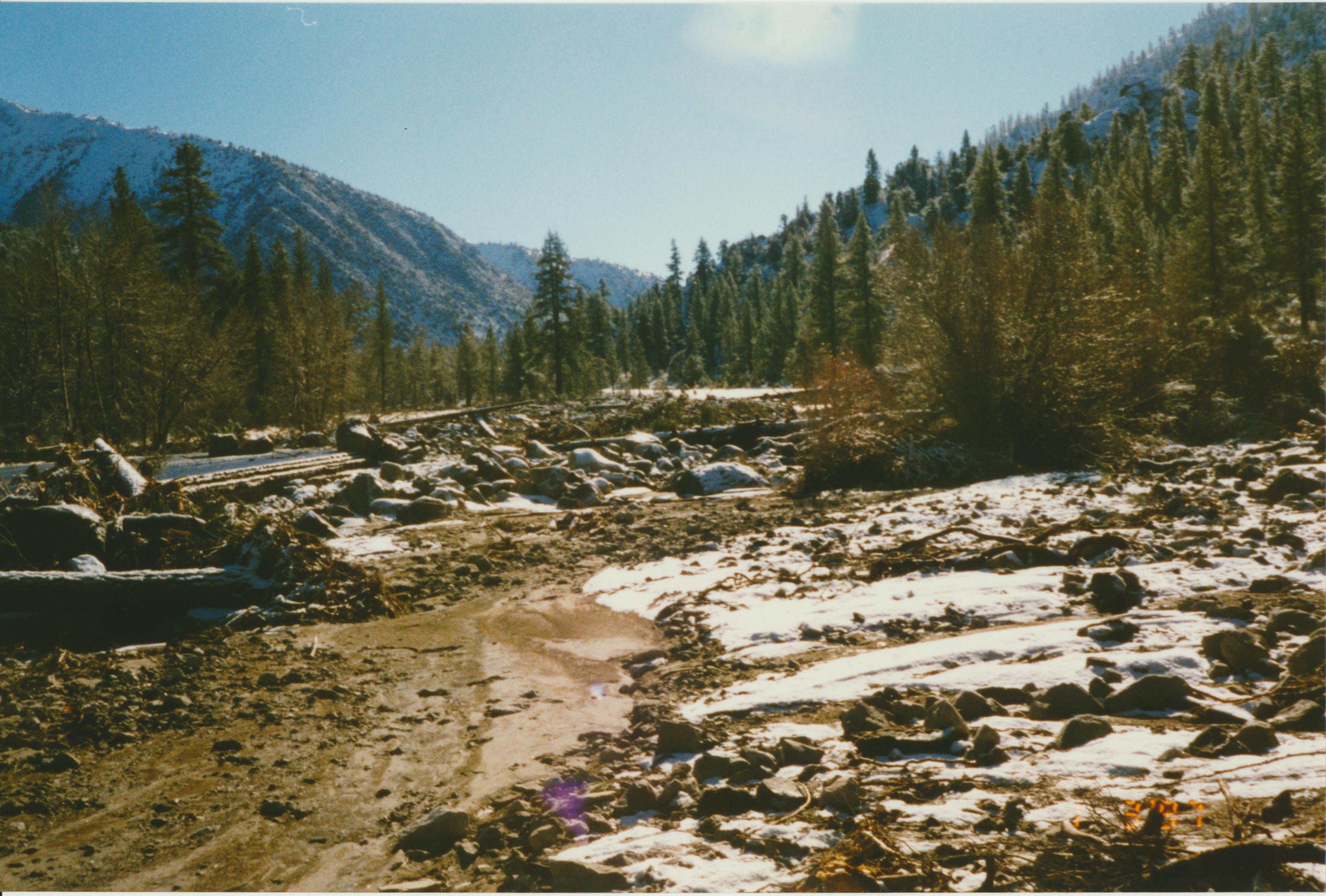
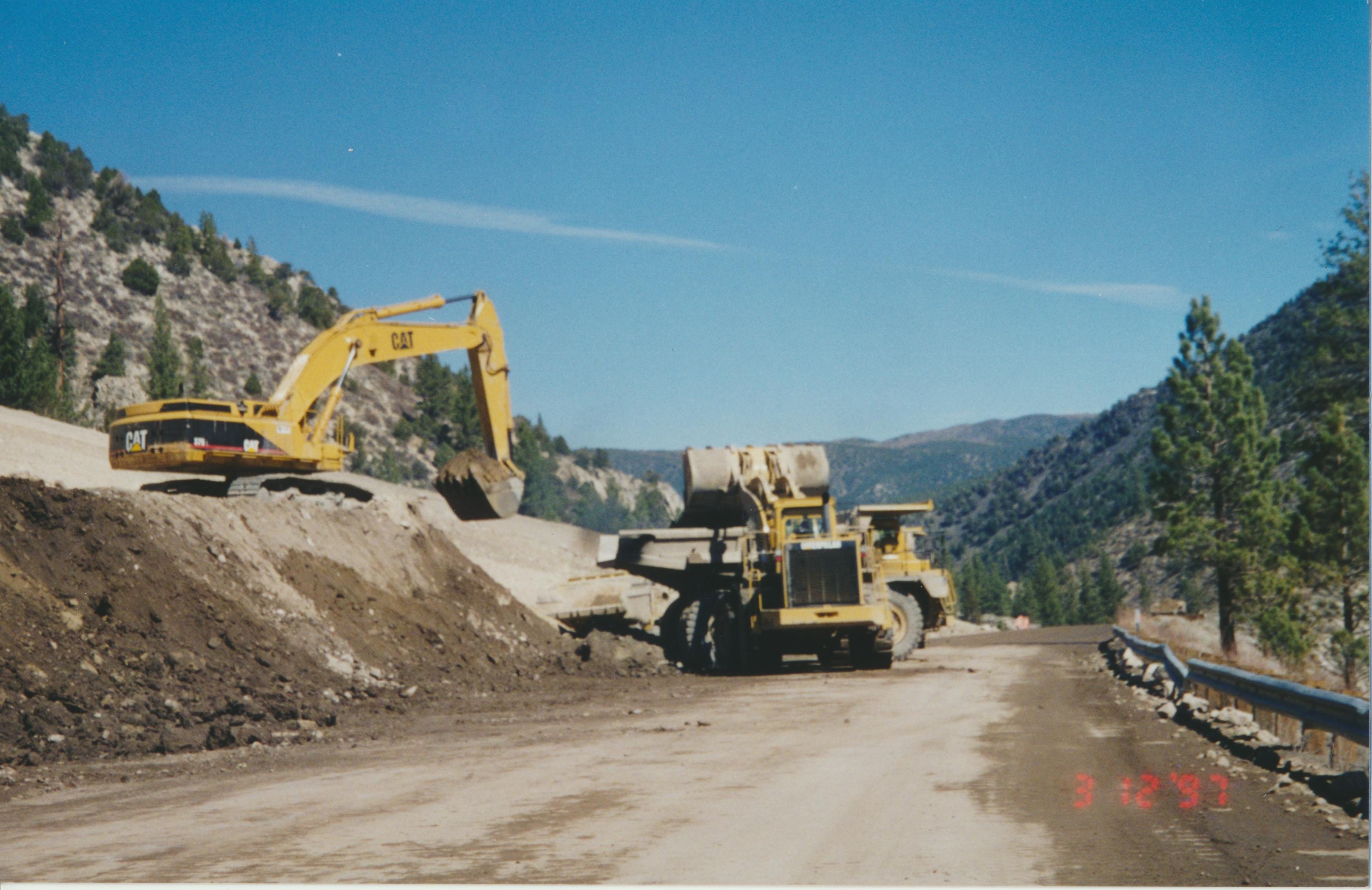
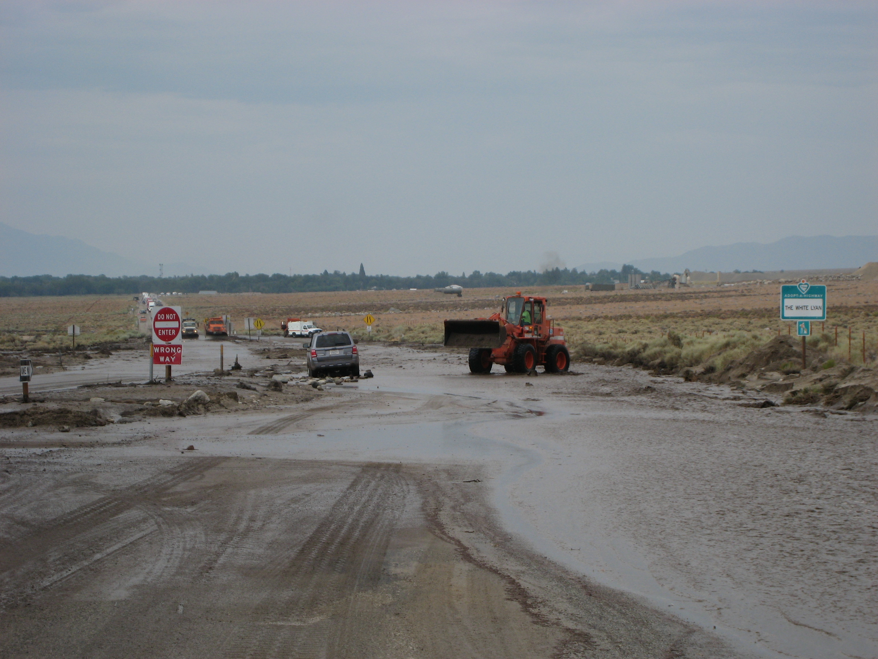
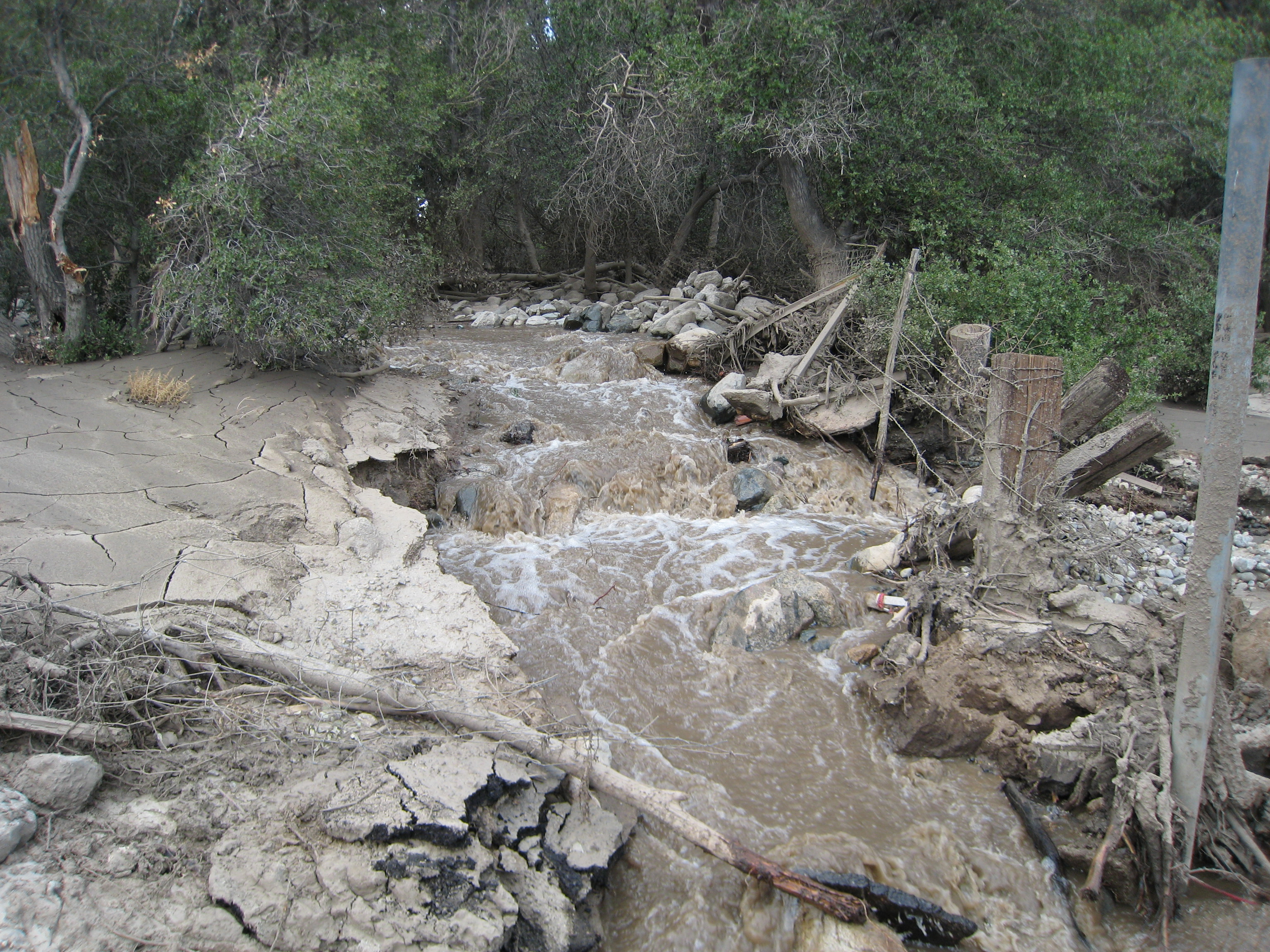
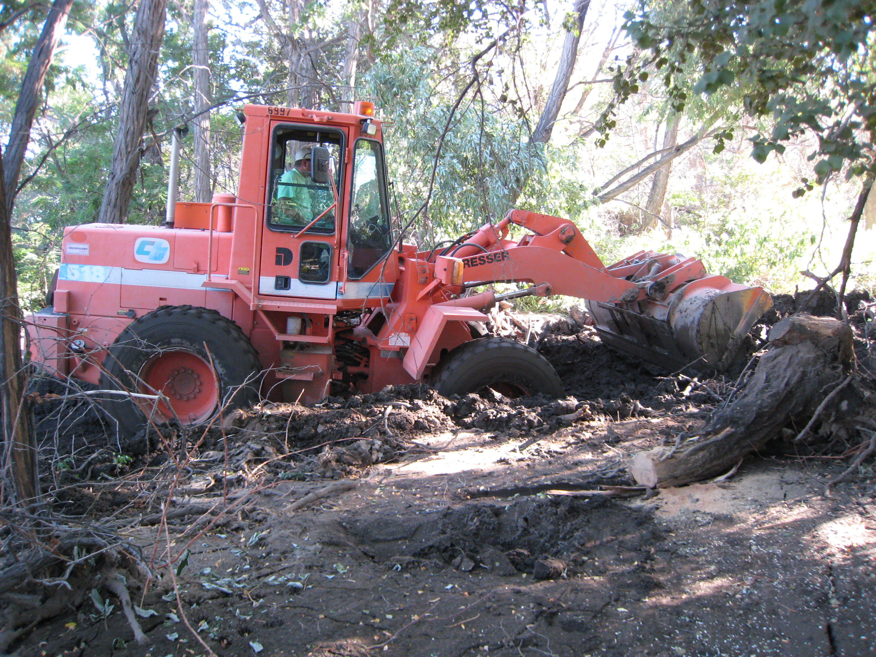
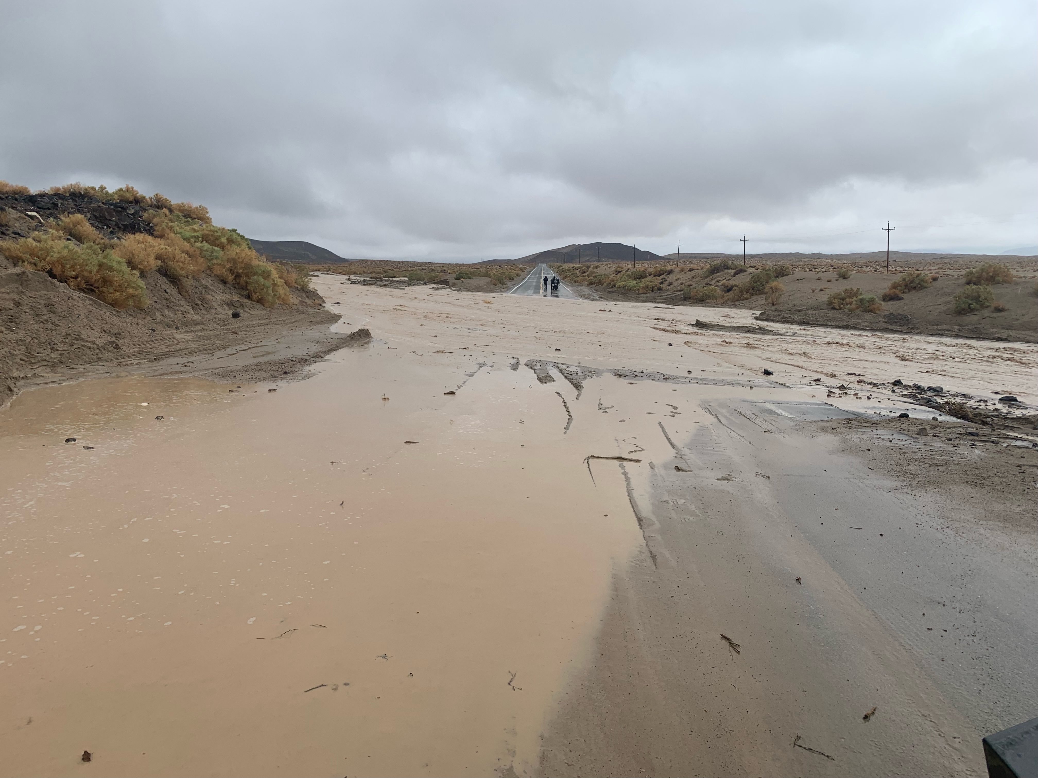
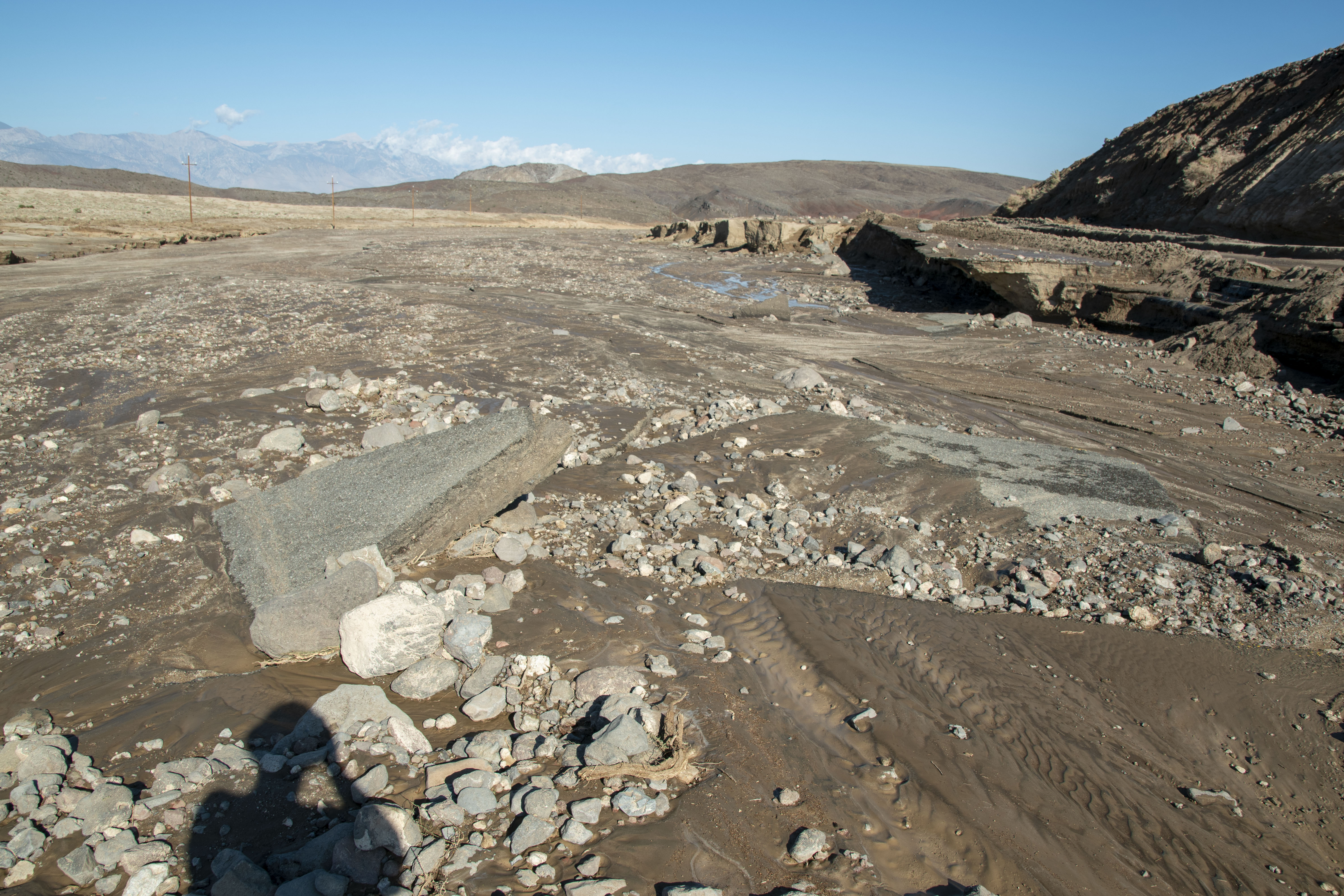
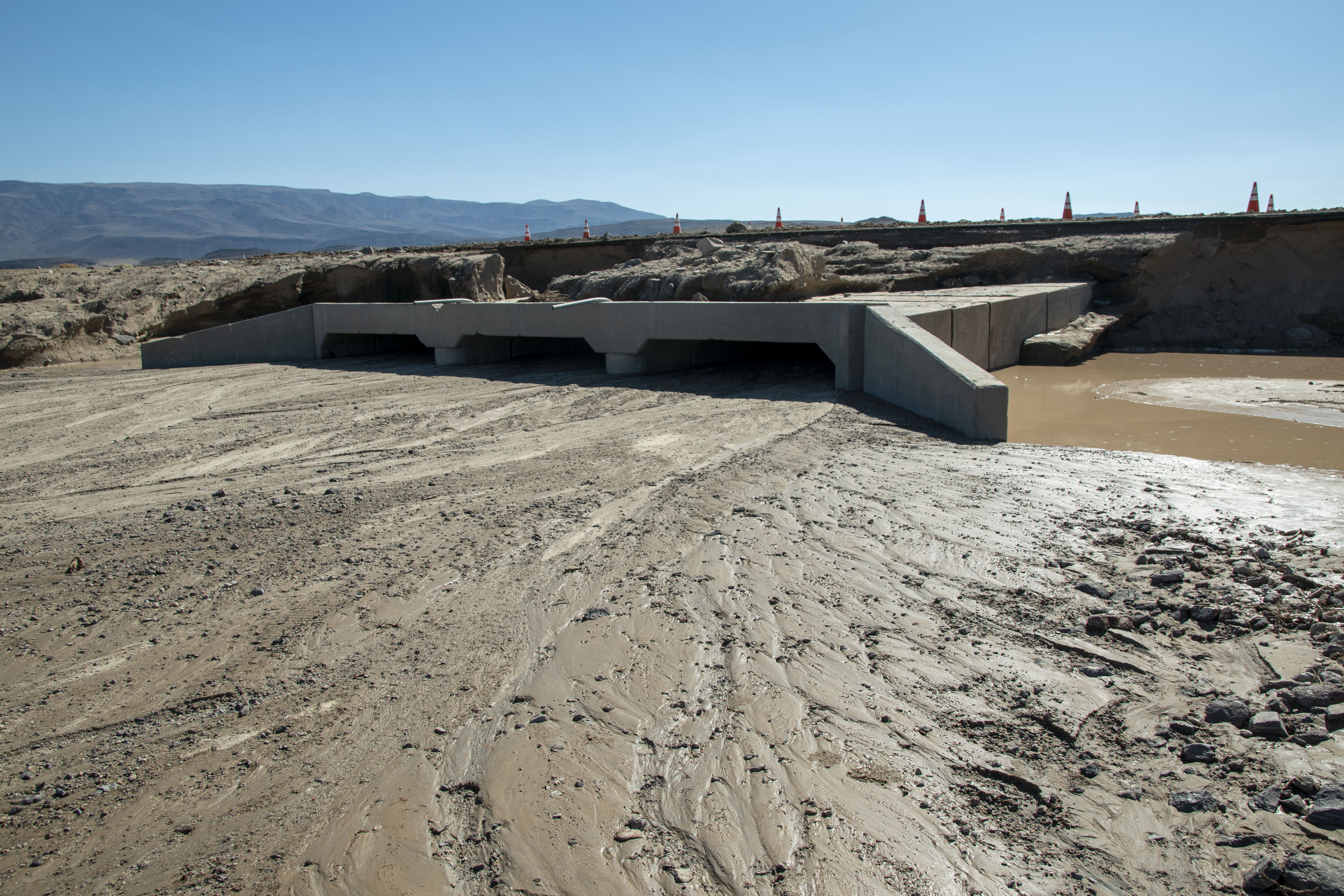
Walker River Flood
Walker River Flood Gallery
Walker River Repair Video
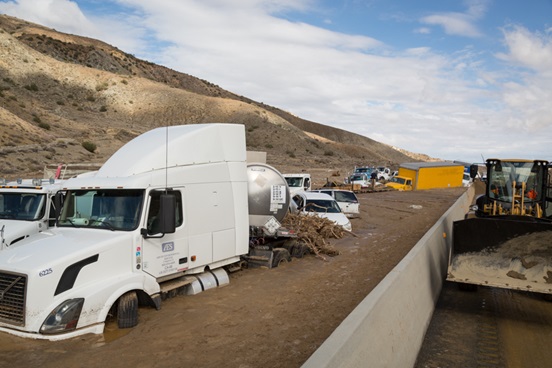
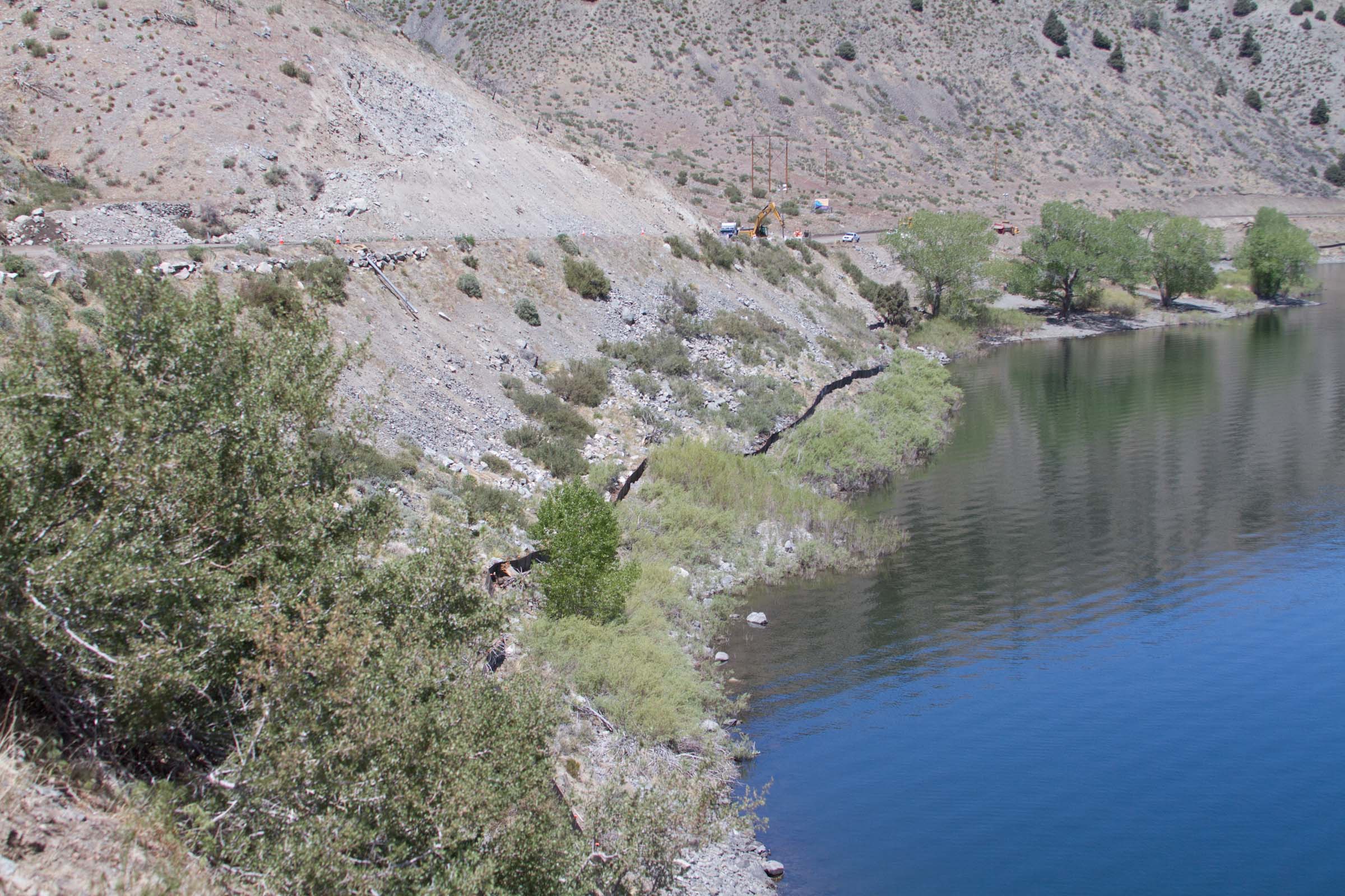
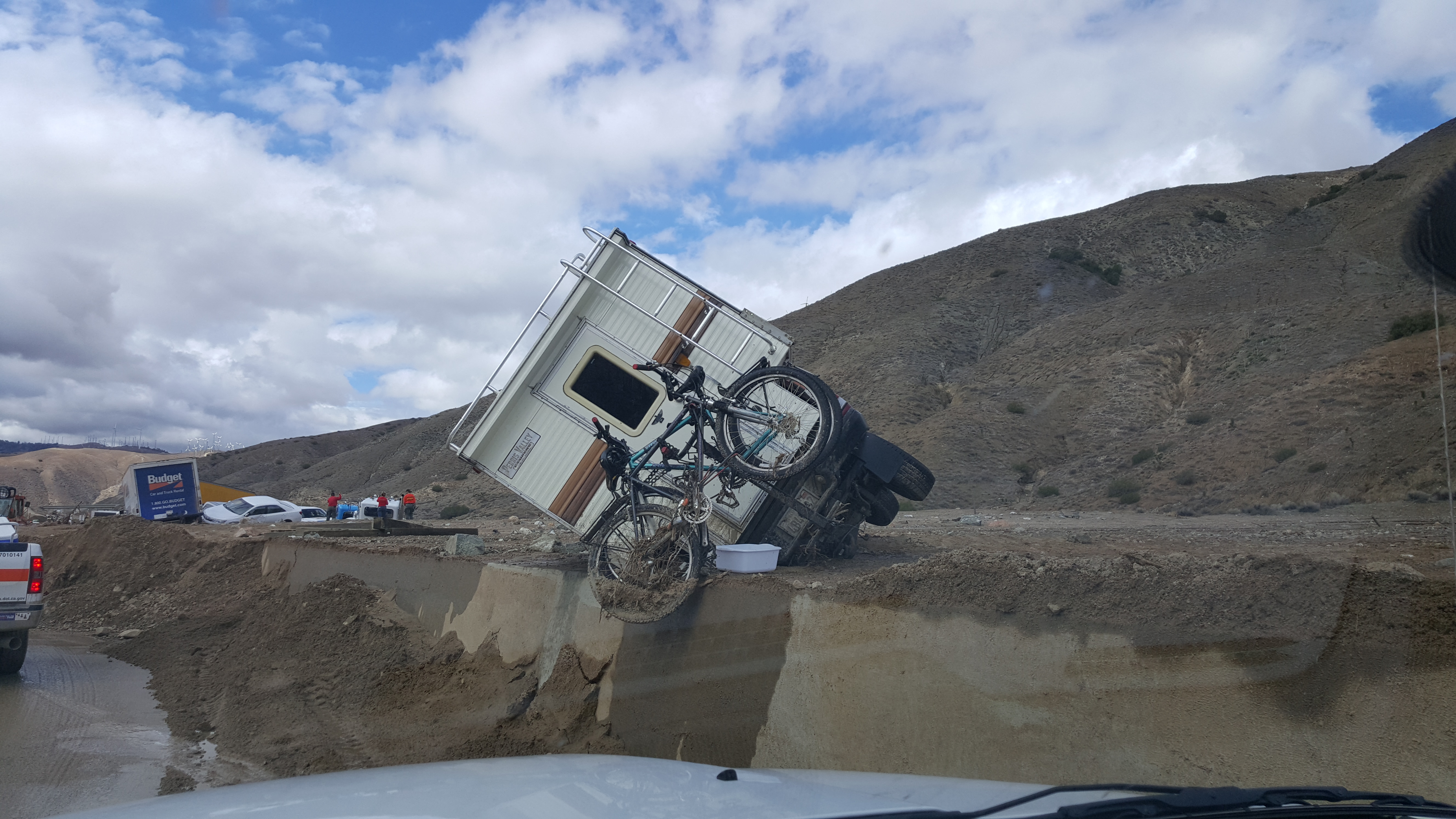
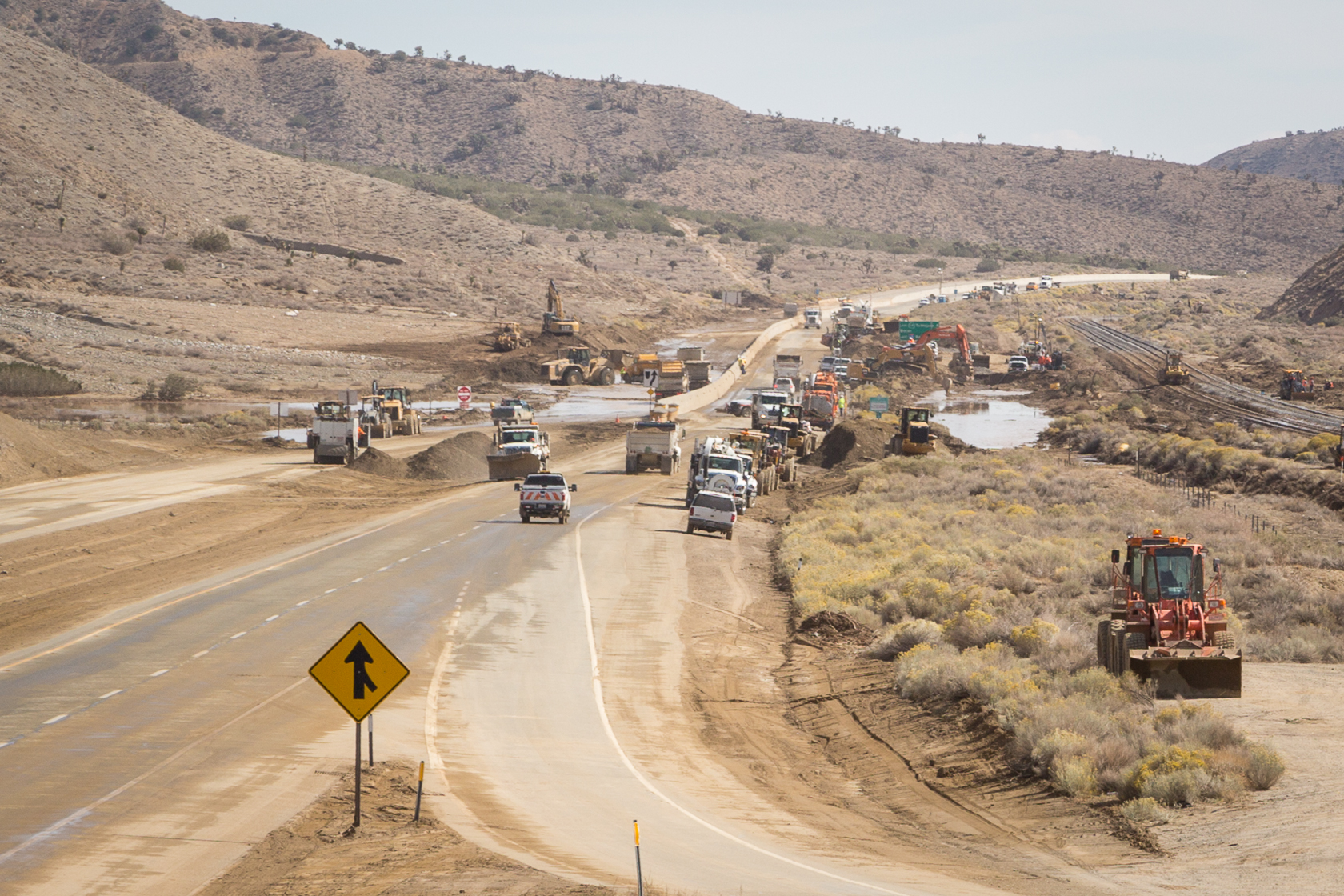
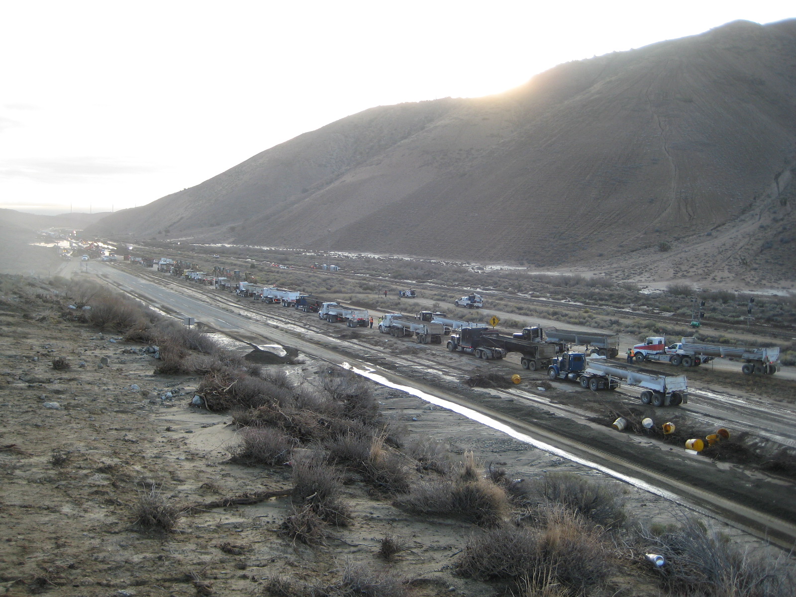
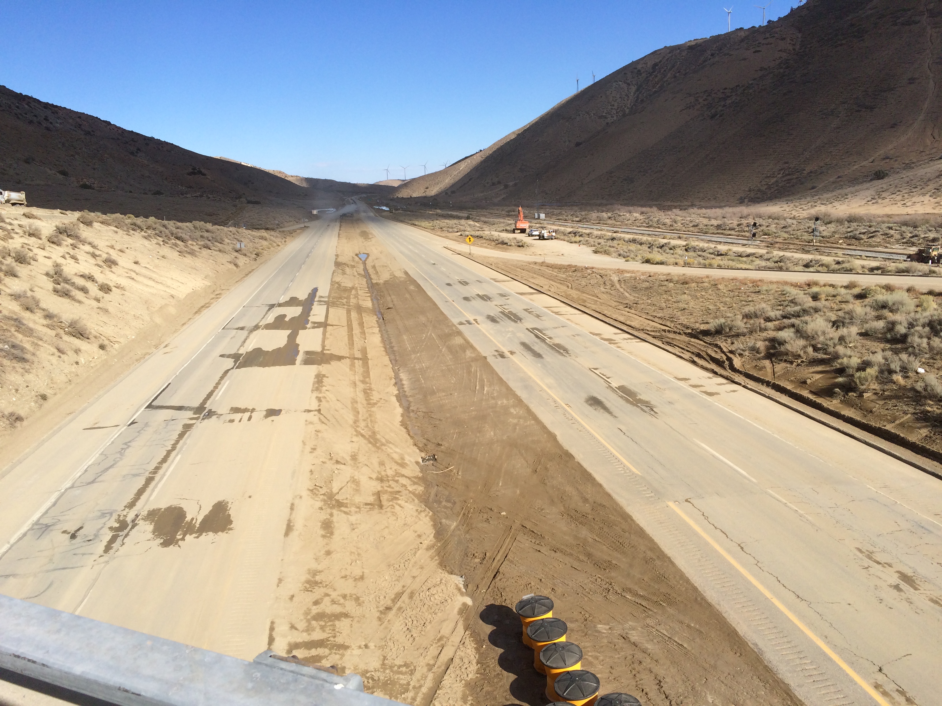
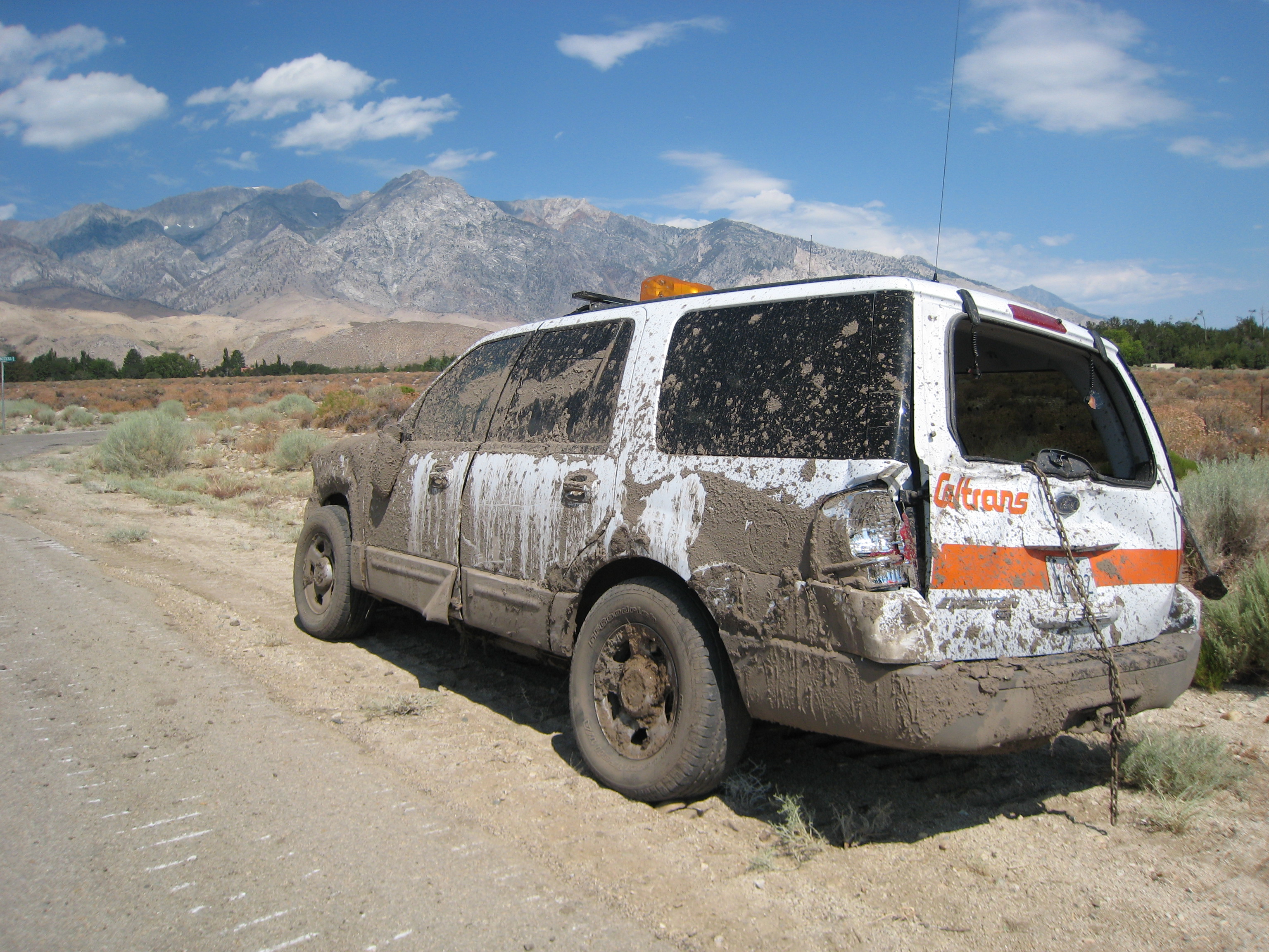
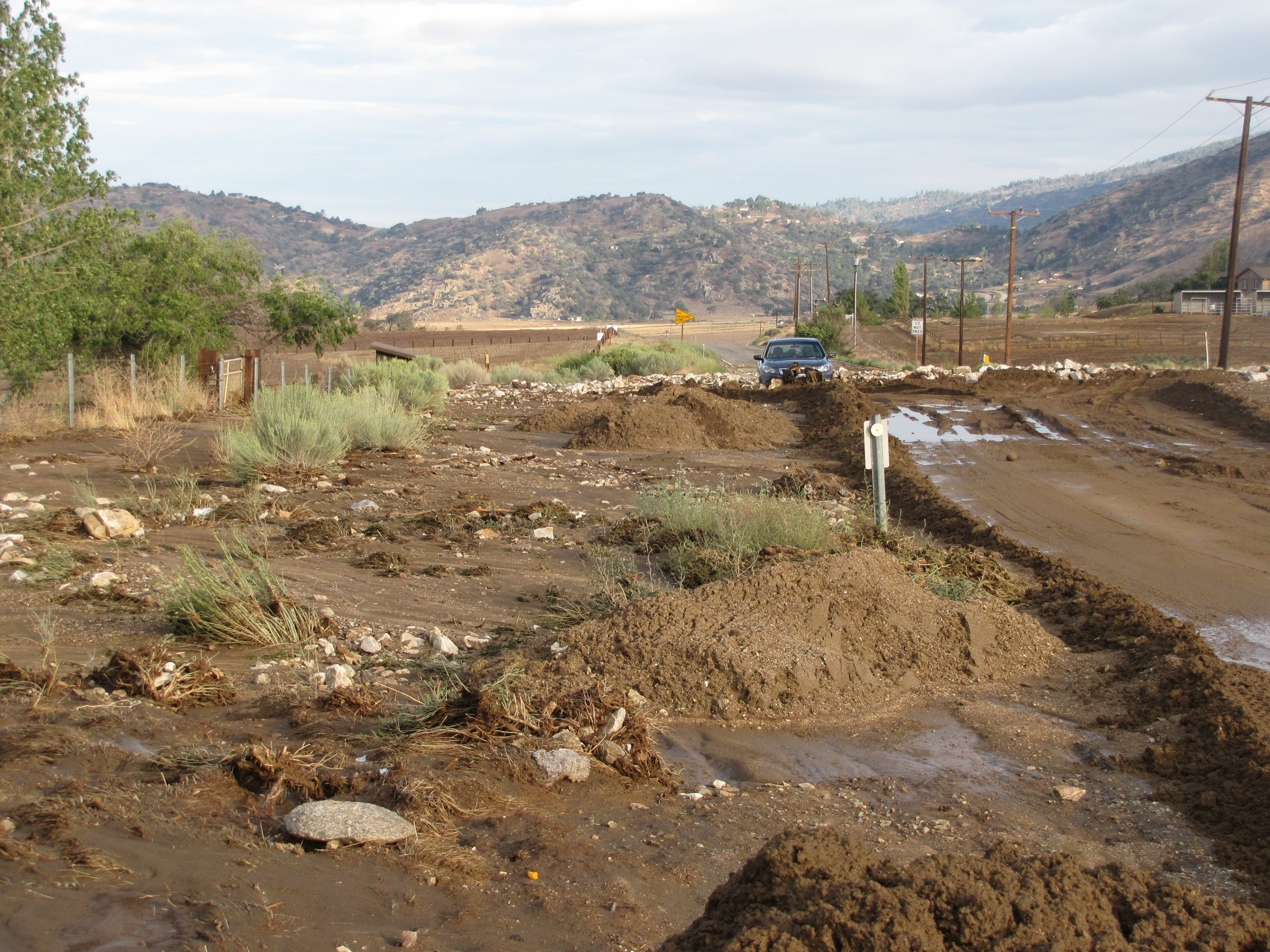
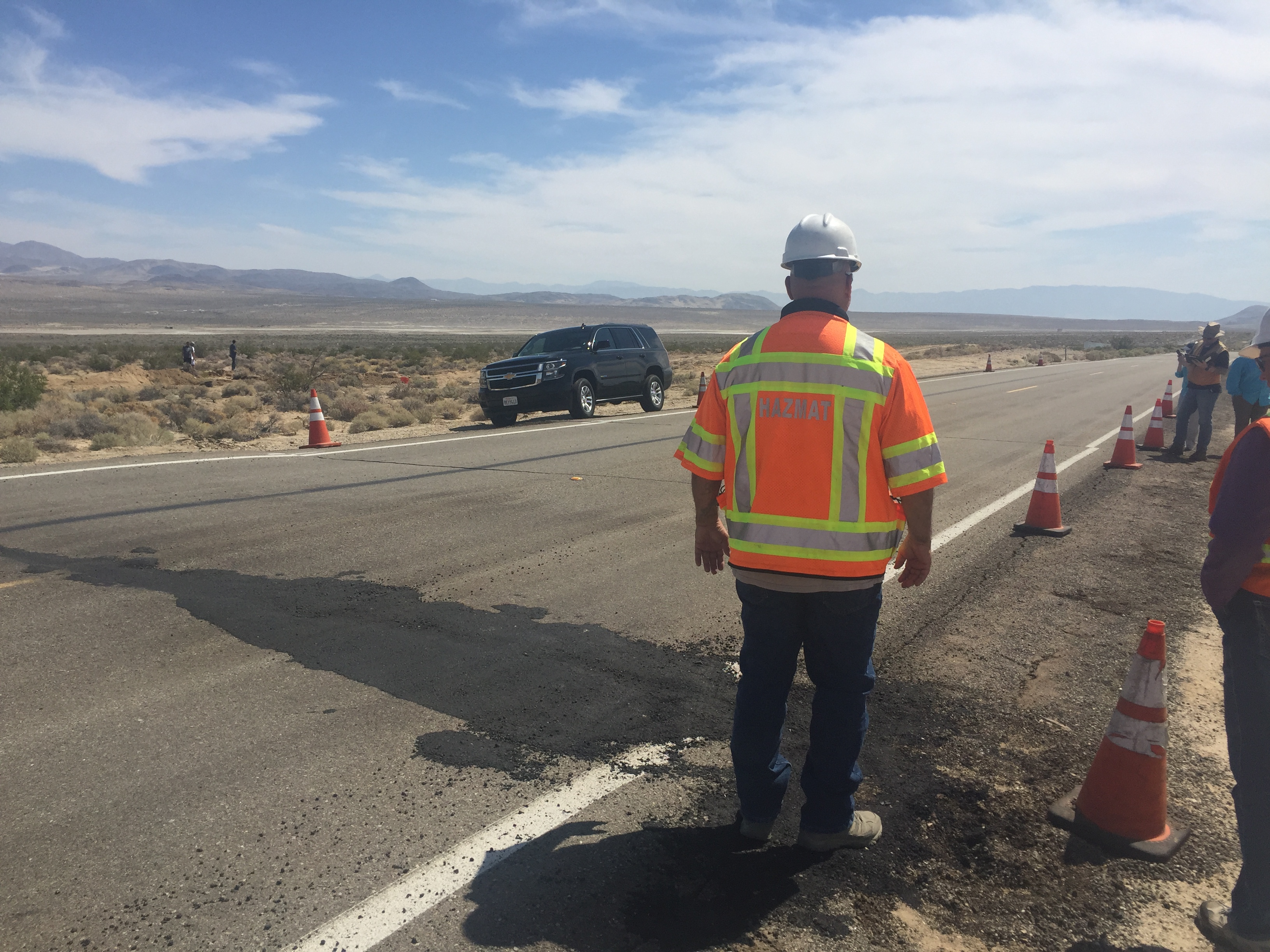
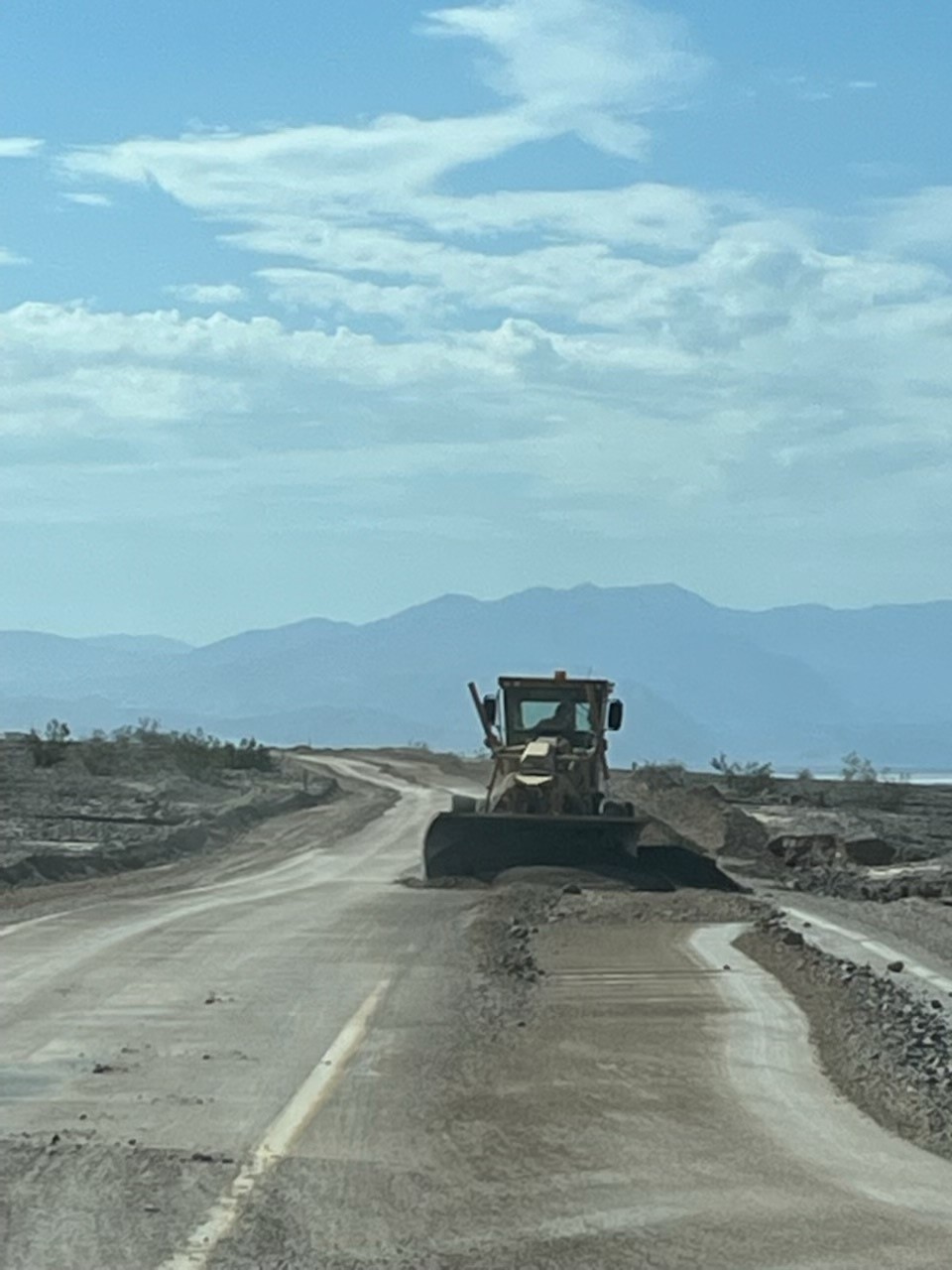
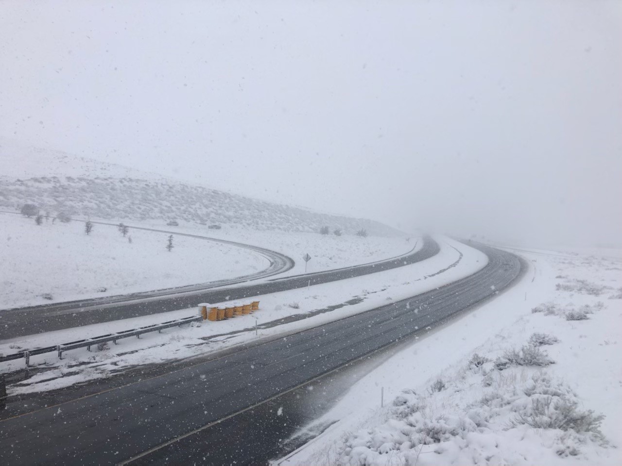
State Route 58 Mudslide
State Route 58 Mudslide Gallery
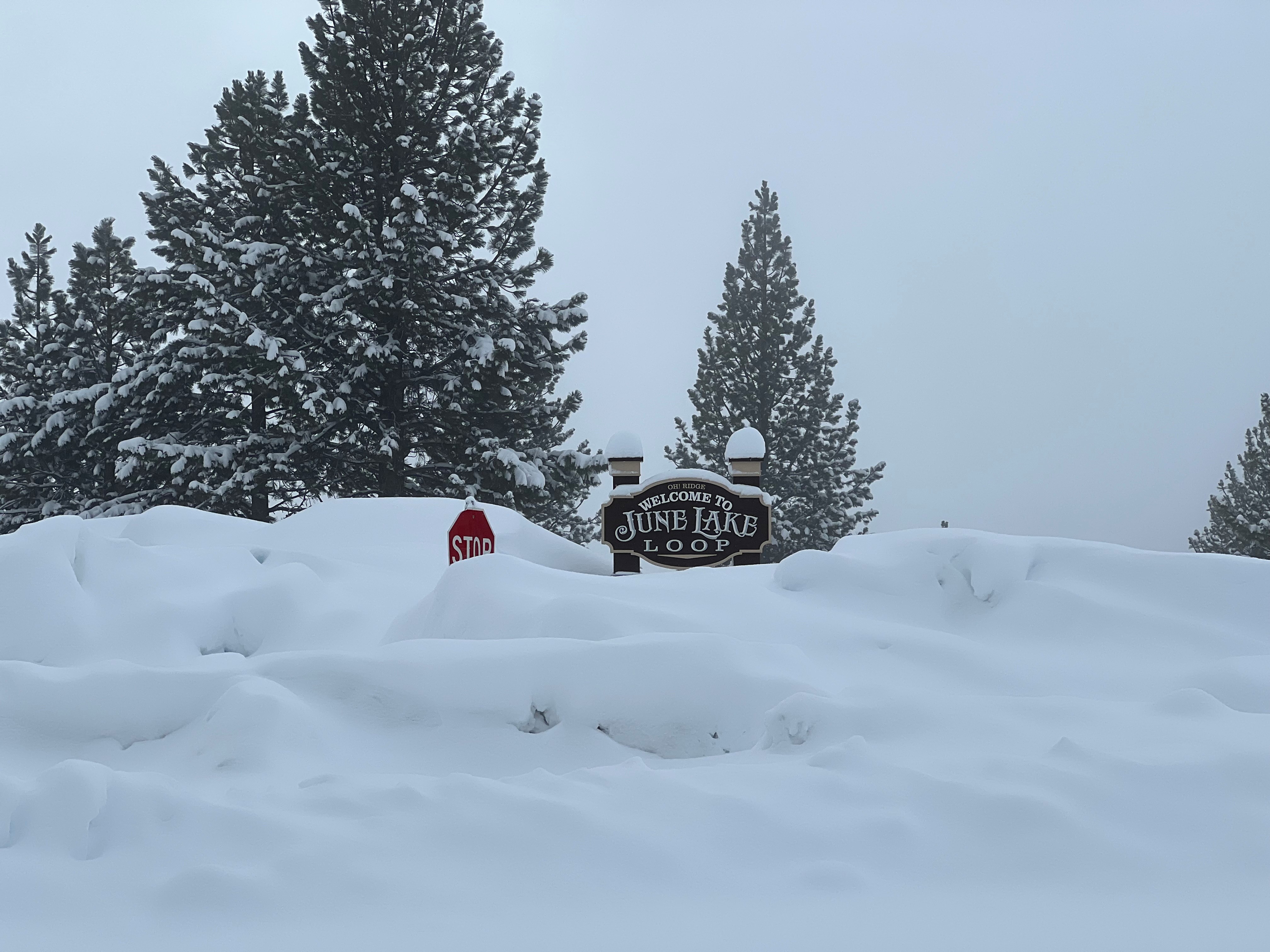
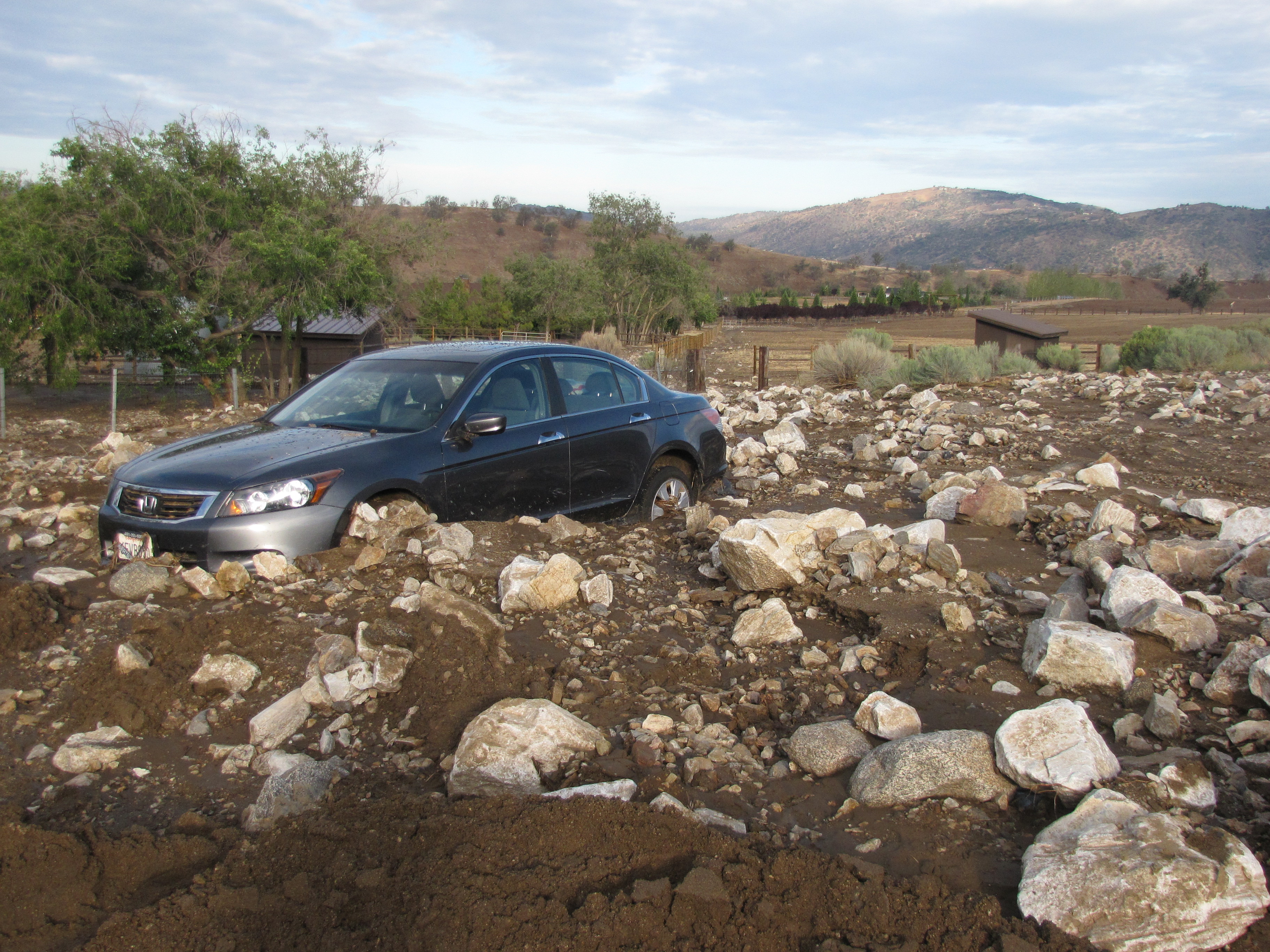
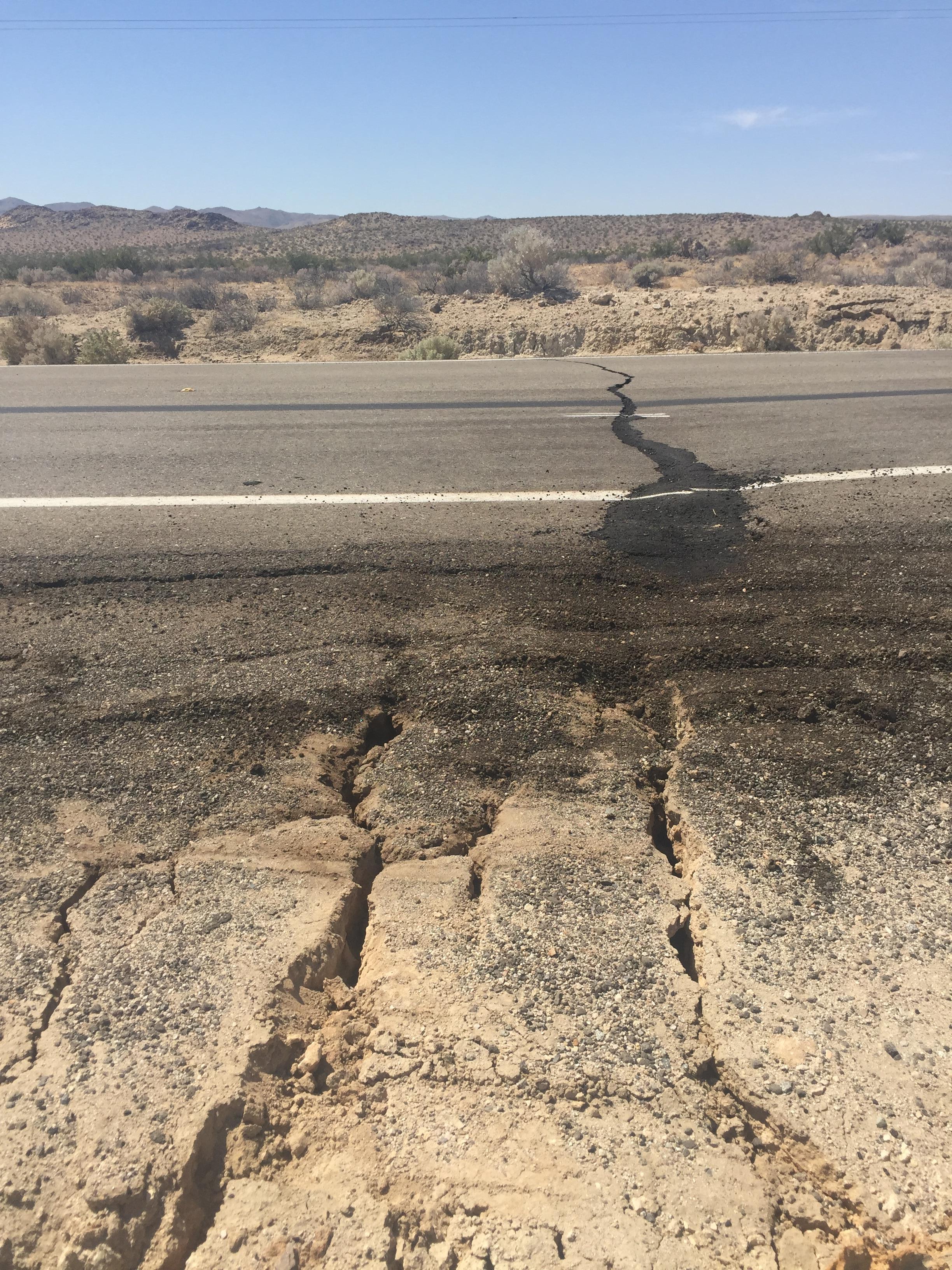
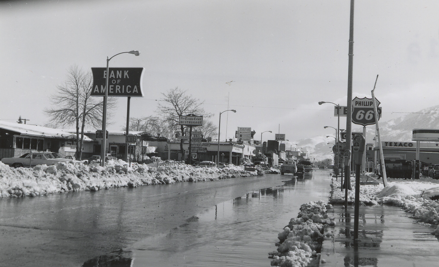
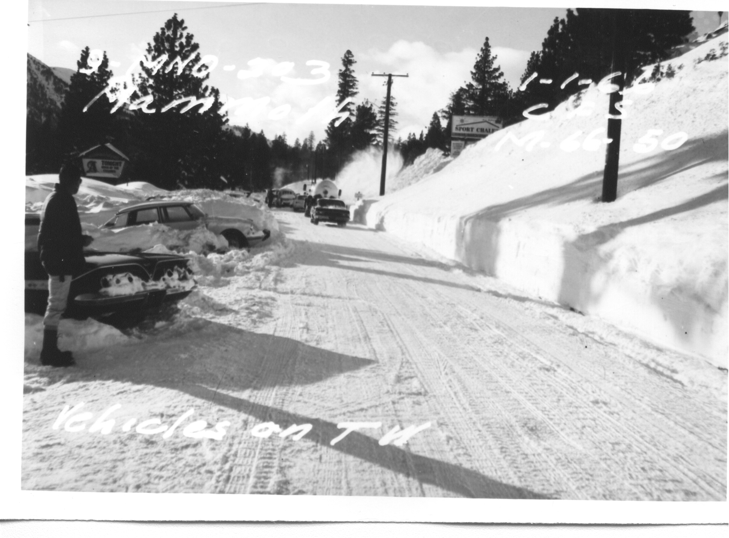
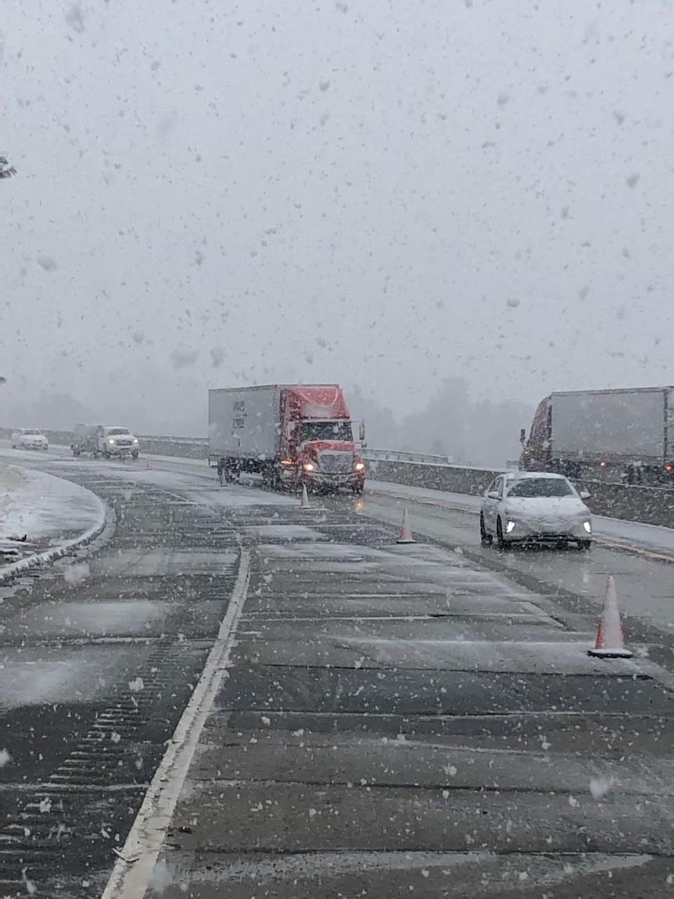
Atmospheric Rivers of 2023
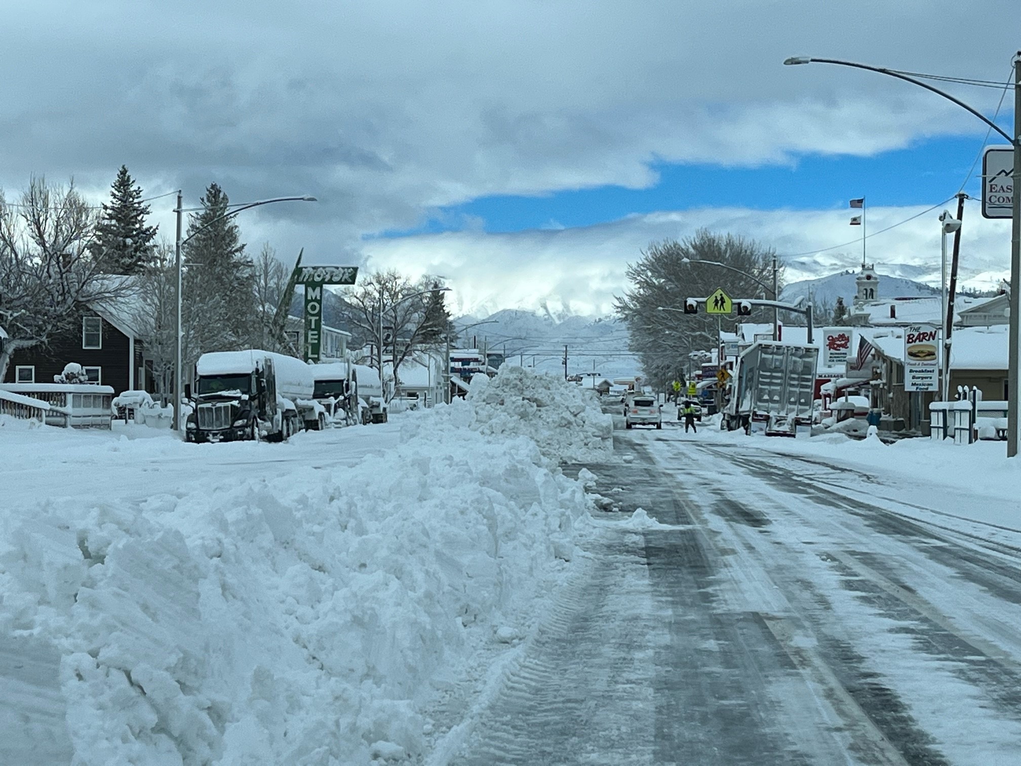
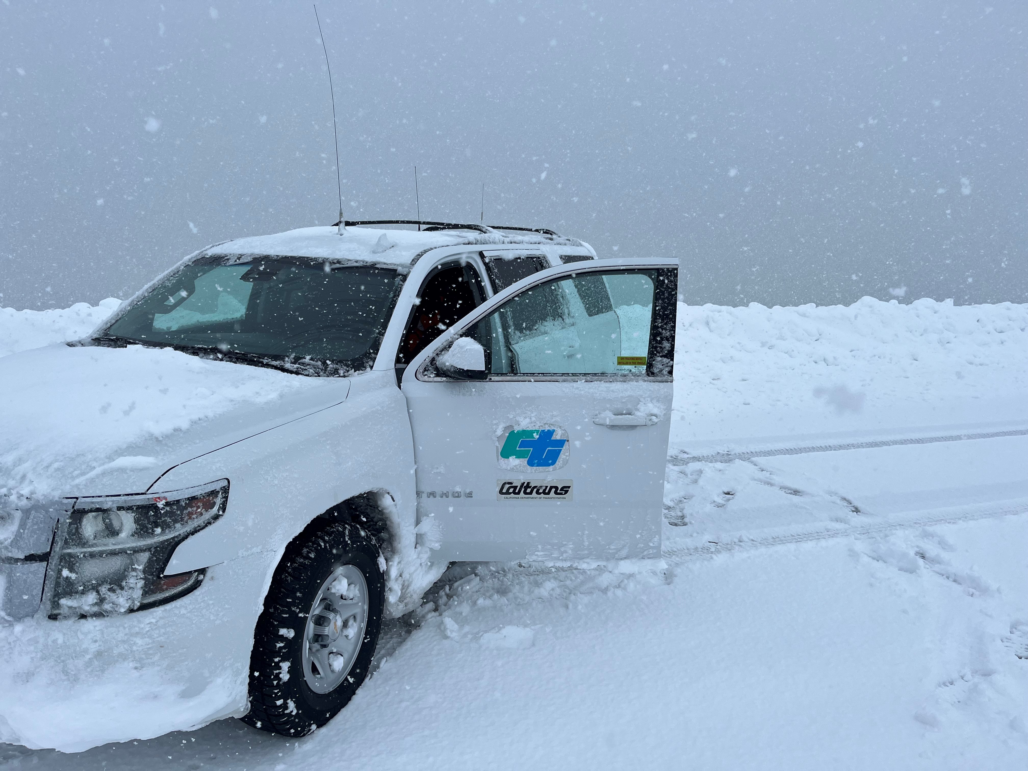
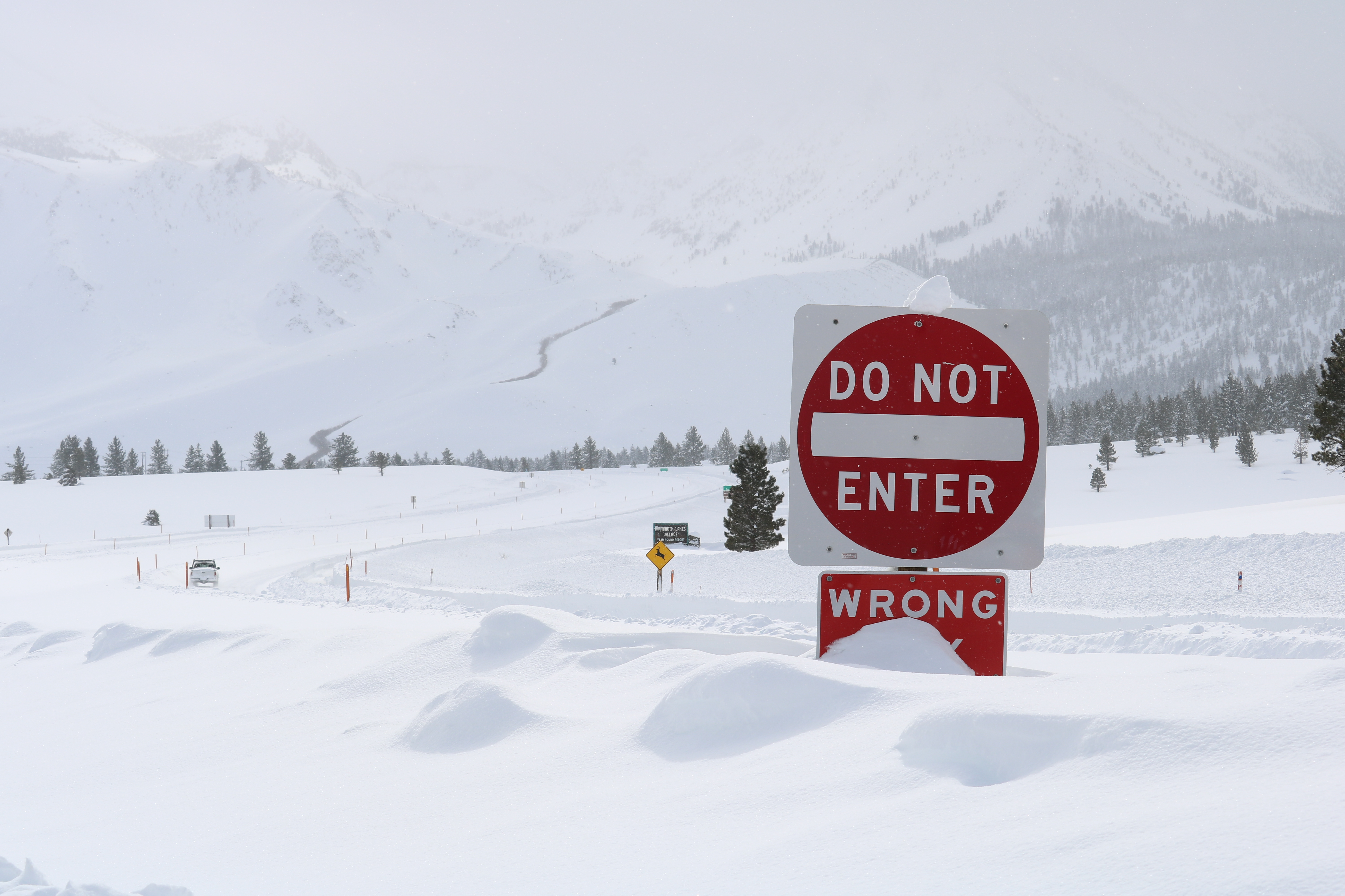
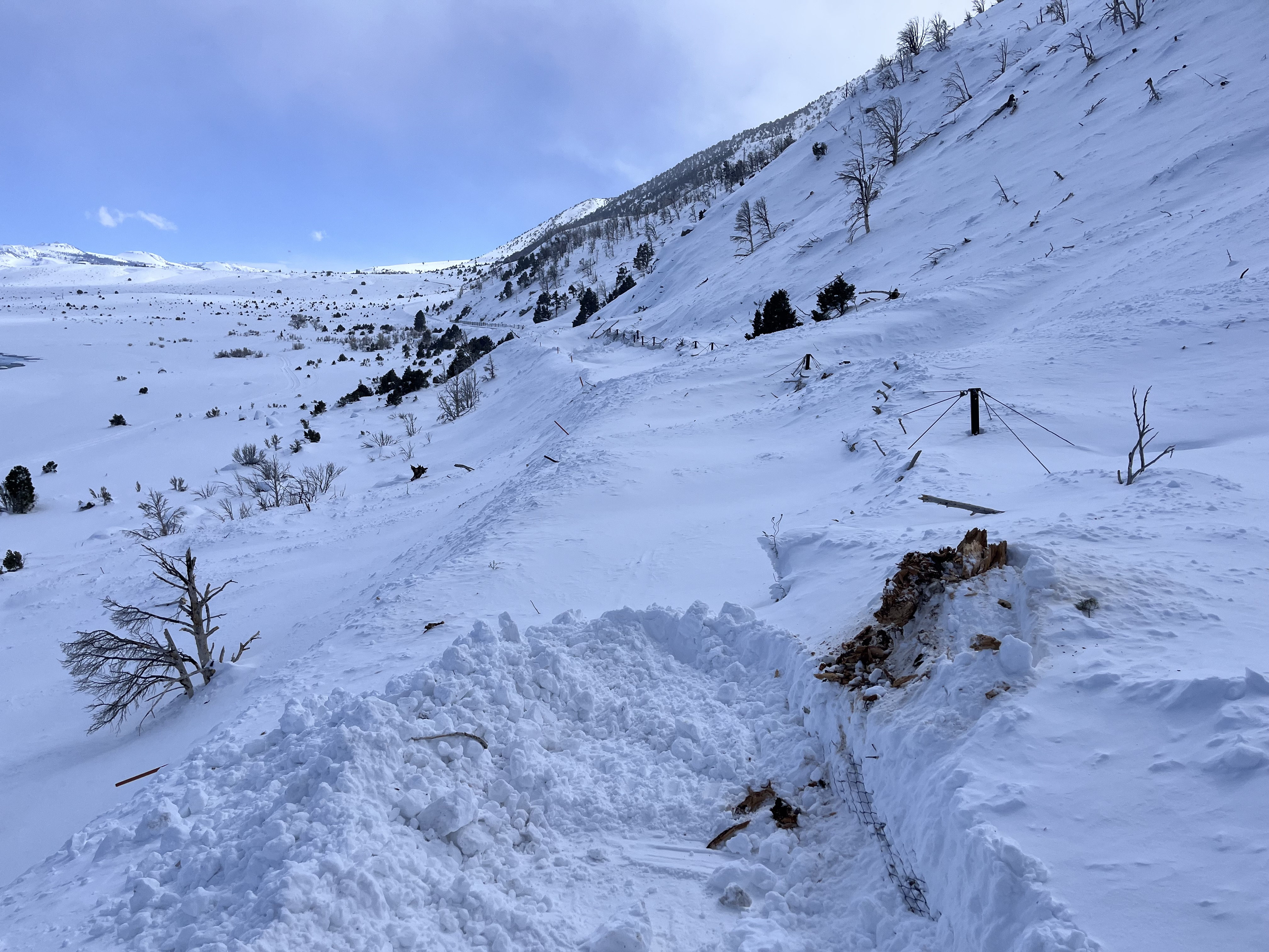
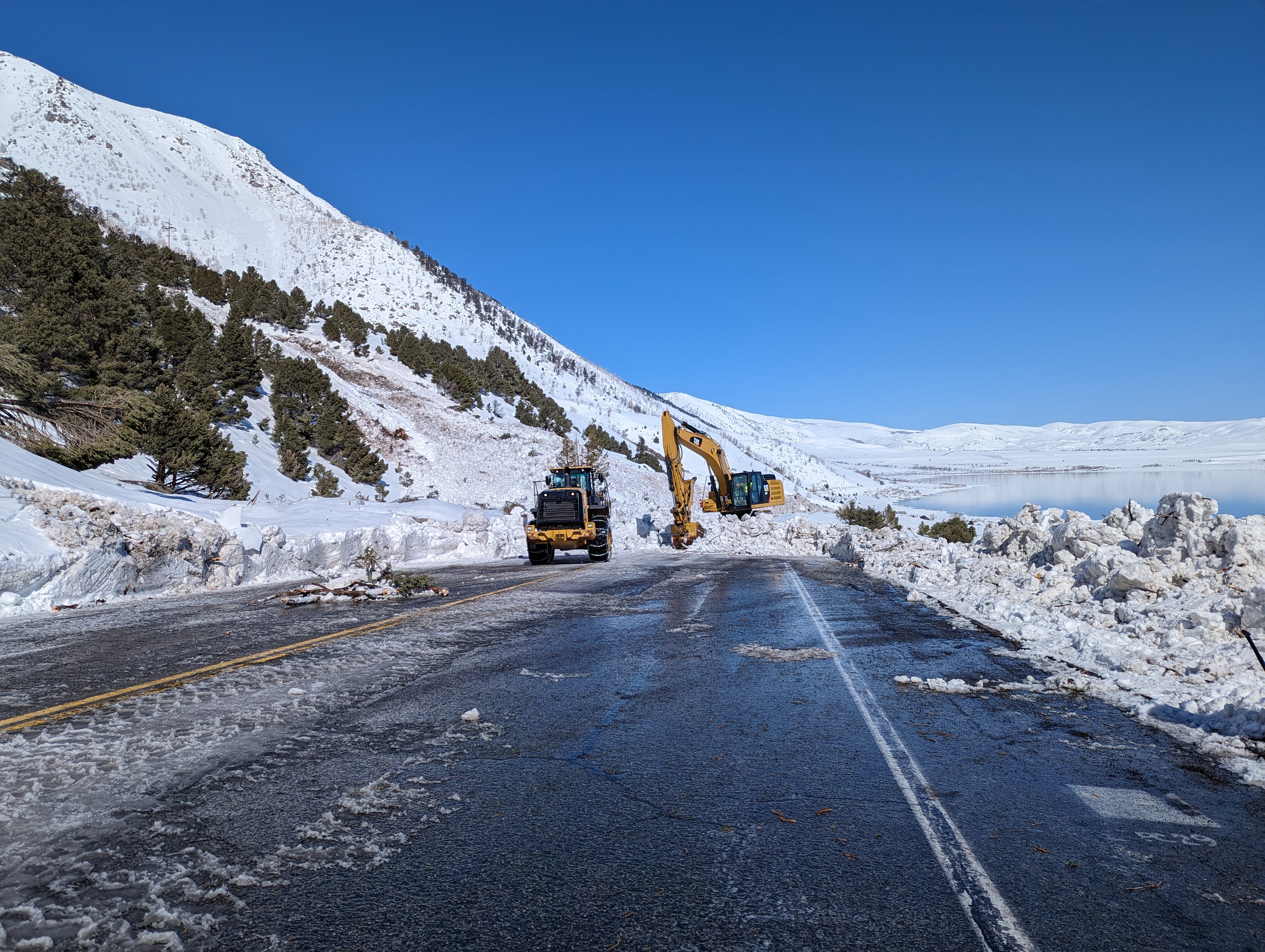
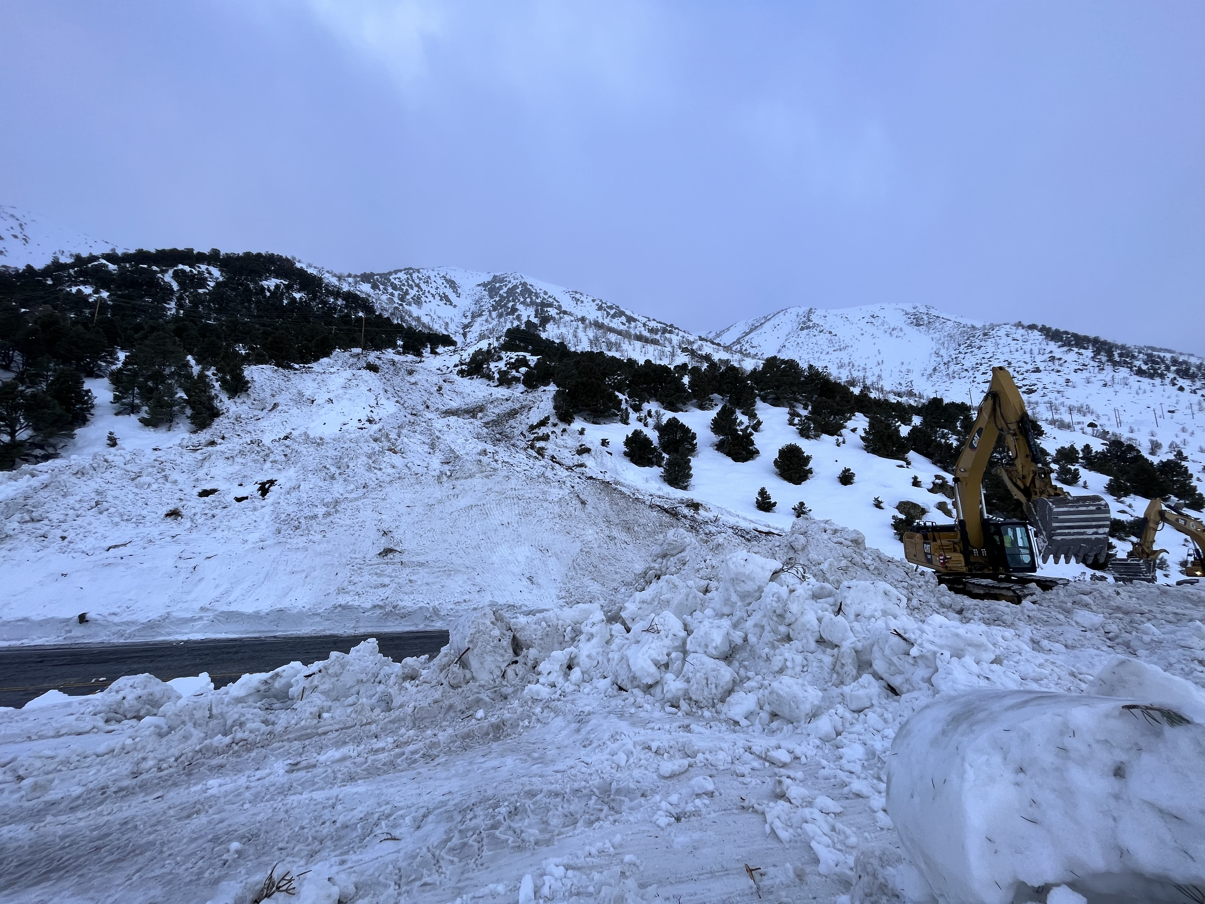
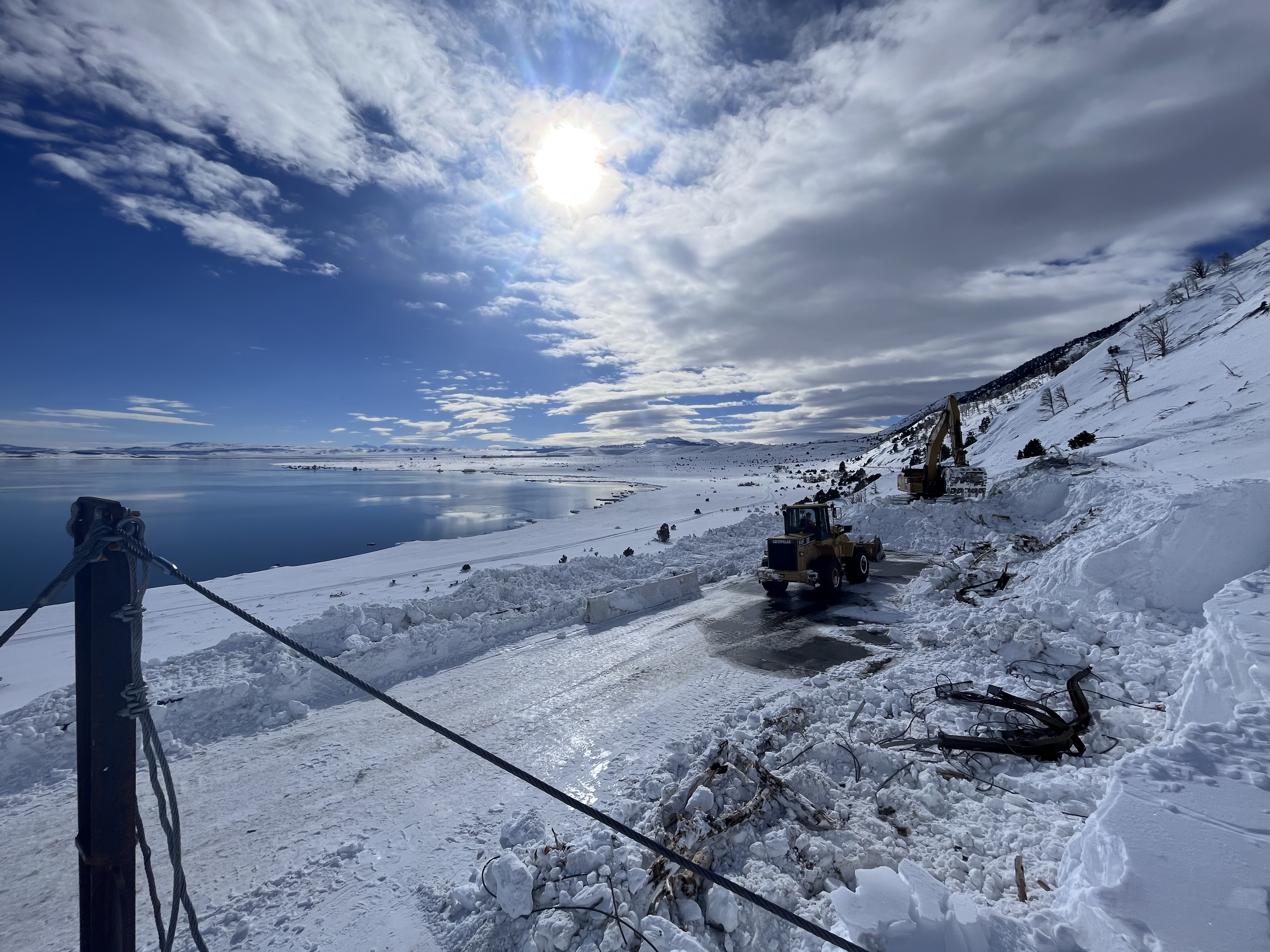
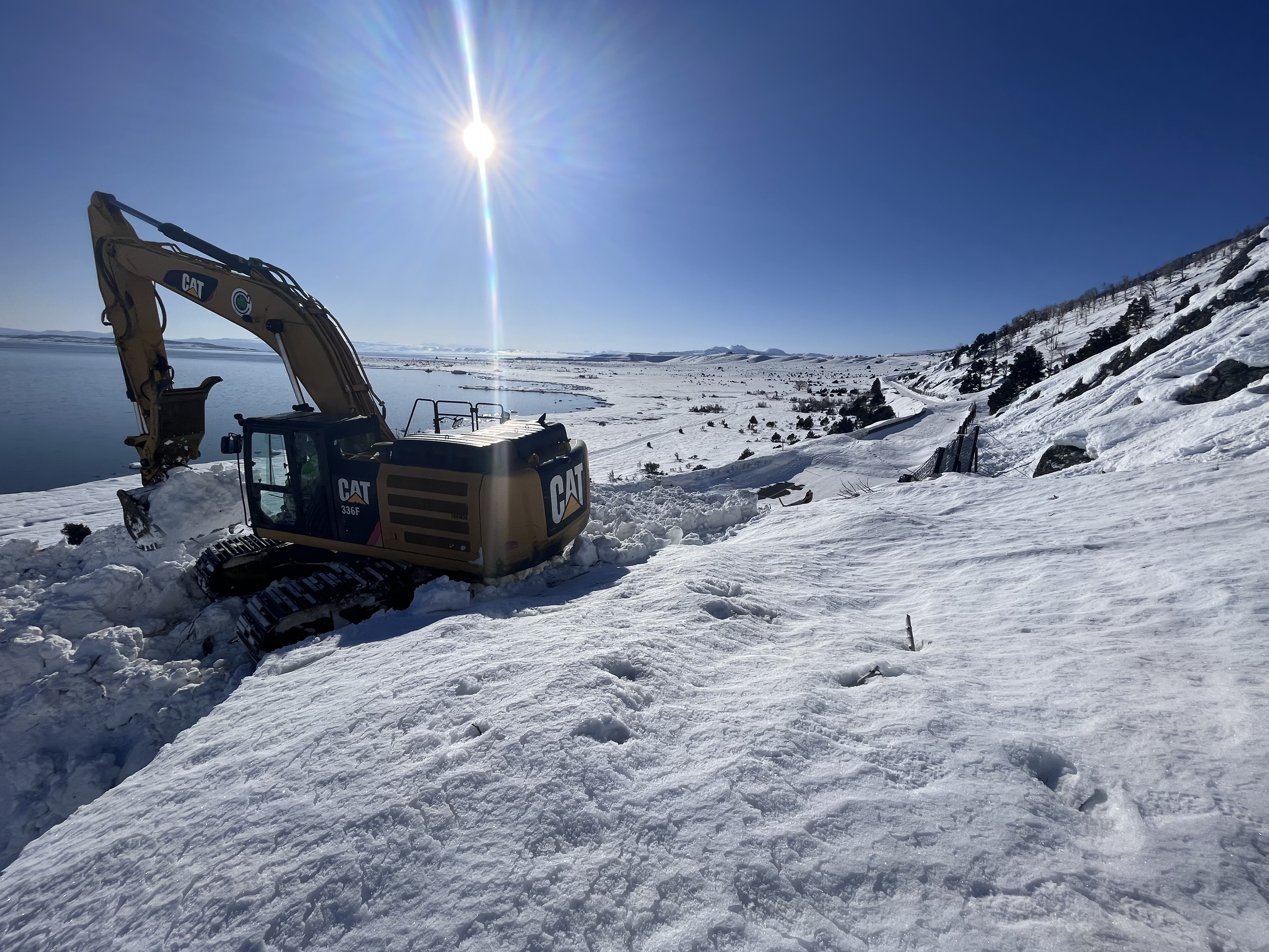
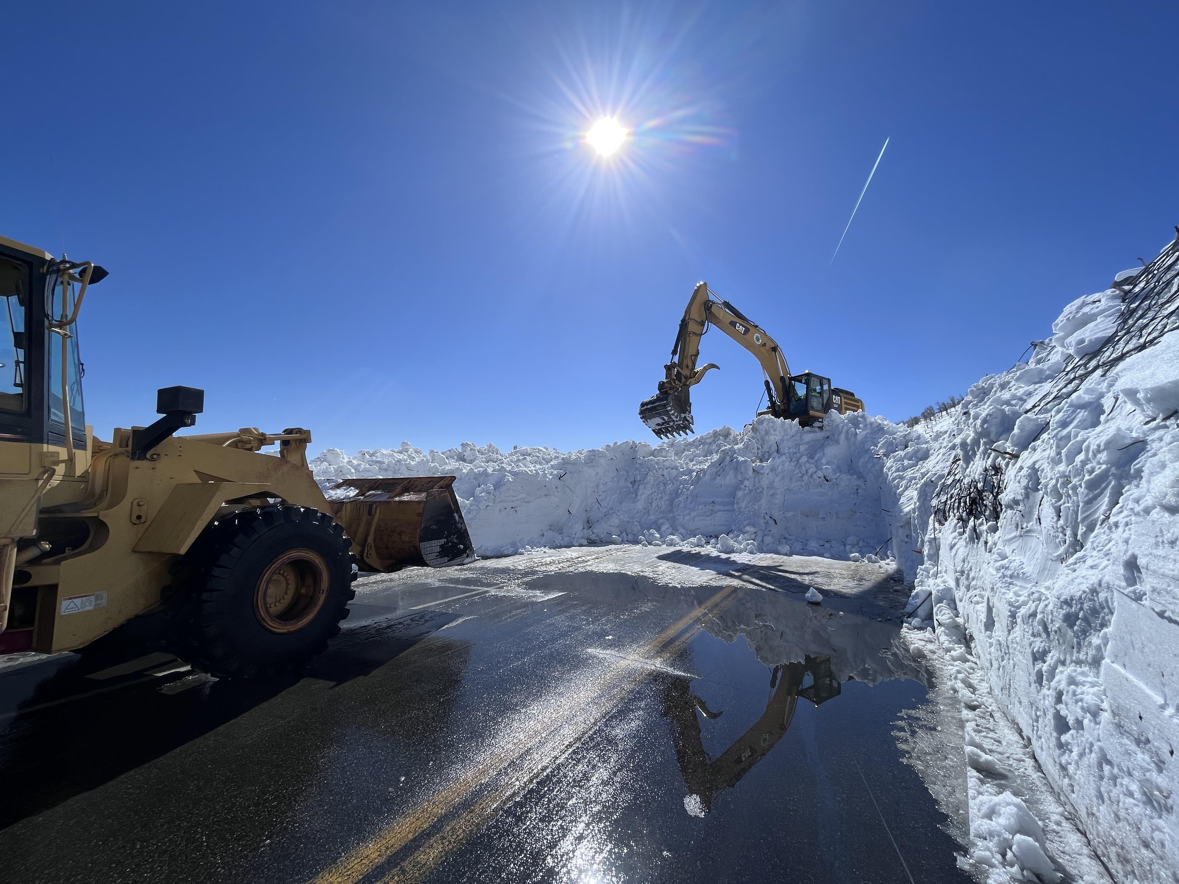
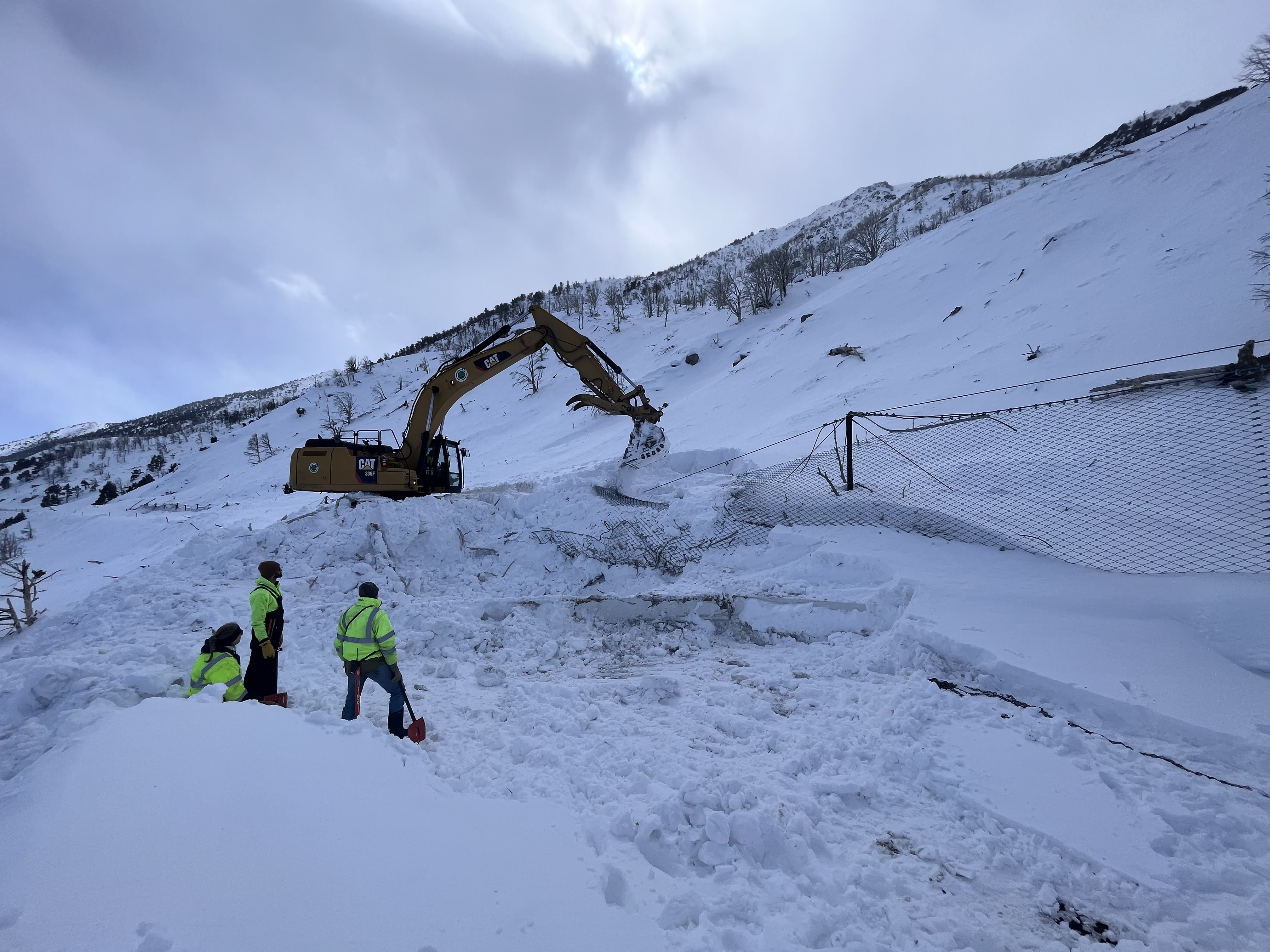
Between January and March of 2023, California experienced 13 atmospheric rivers that brought an end to most drought conditions in the state. It also brought a bevy of snow to the higher elevations. Mono County was hit particularly hard, with multiple highway closures due to heavy snow and whiteout conditions. Maintenance crews prepped facilities and worked nonstop to restore lost access when storms overwhelmed the system.
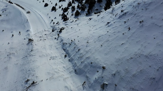
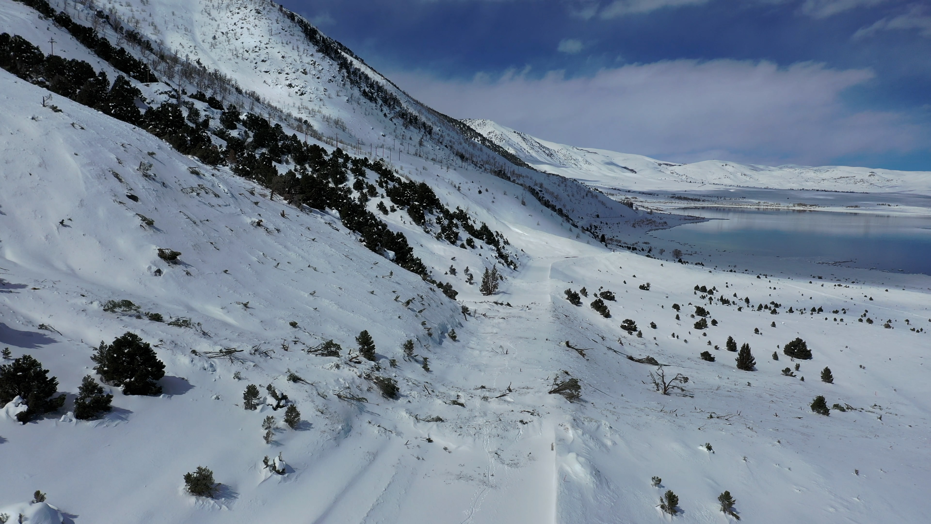
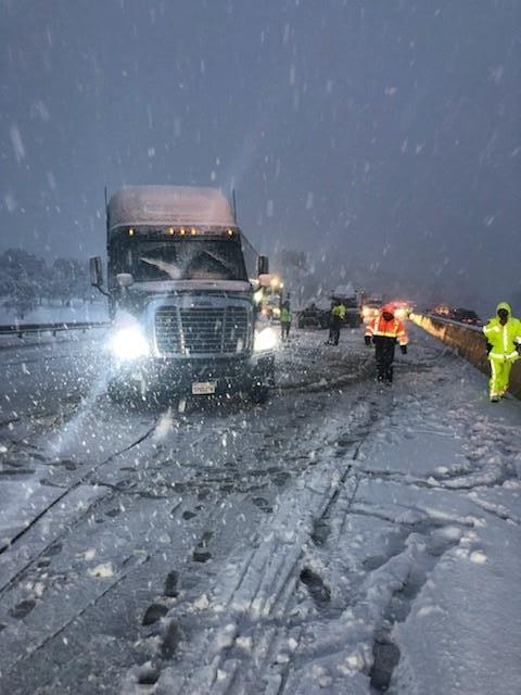
The atmospheric rivers that hit at the end of February and beginning of March were even more powerful, causing an avalanche on U.S. 395 along Mono Lake that closed the section of highway for several weeks starting on February 24. Caltrans had to call in reinforcements from other districts to clear the roads and issued an emergency work contract to assist in clearing the roads. An emergency work order was issued to fund the effort to clear the avalanche from U.S. 395. On April 7, six weeks after it was first closed, the highway fully reopened along Mono Lake.
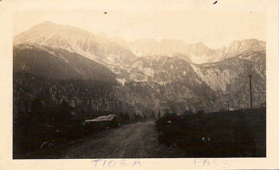
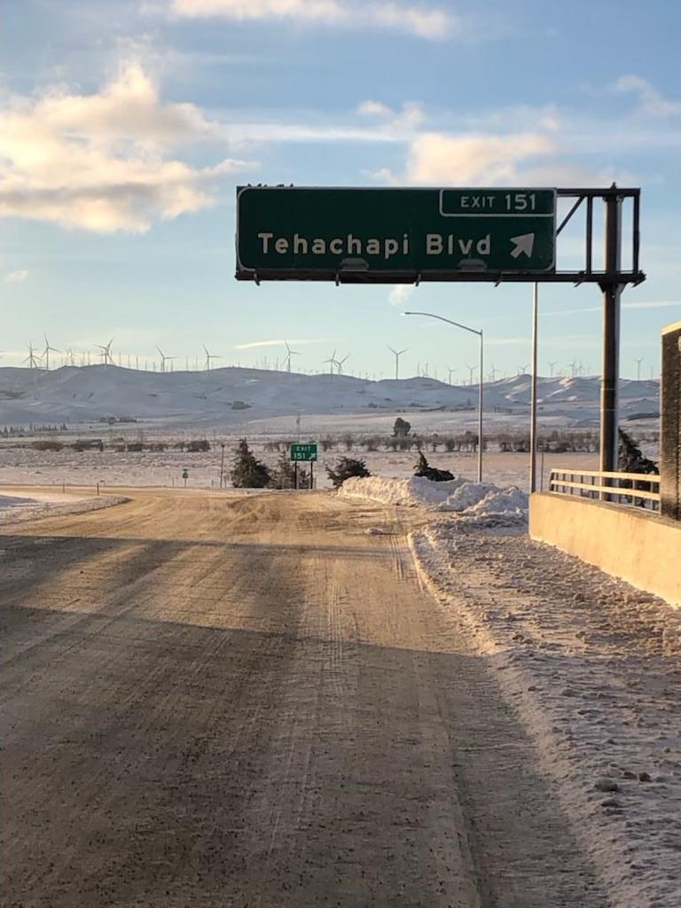
With U.S. 395 reopened, maintenance crews turned their attention to reopening the mountain passes. Monitor Pass (State Route 89), Tioga Pass Road (State Route 120), and Tioga Pass all experienced their latest openings on record, while Sonora Pass (State Route 108) experienced its second latest opening.
Atmospheric Rivers of 2023 Gallery

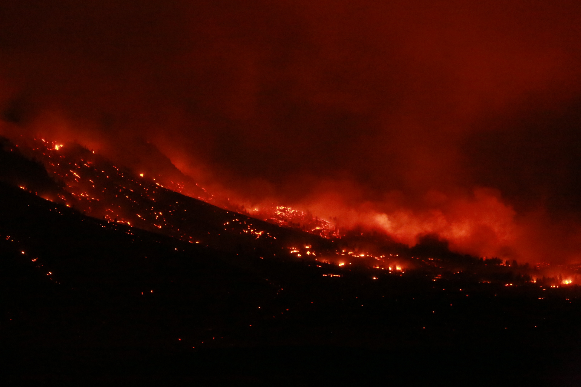
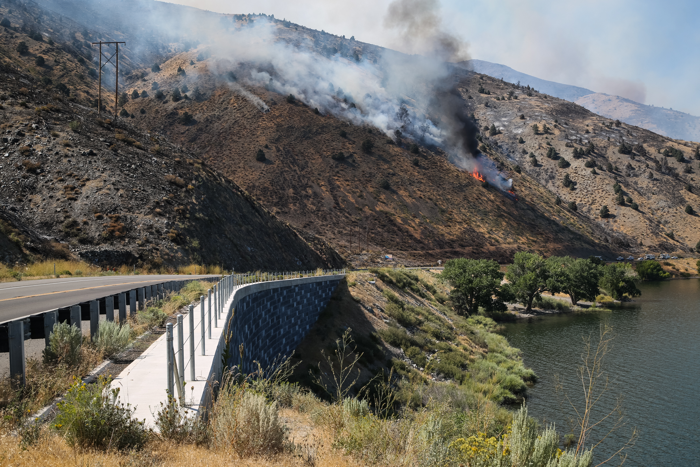
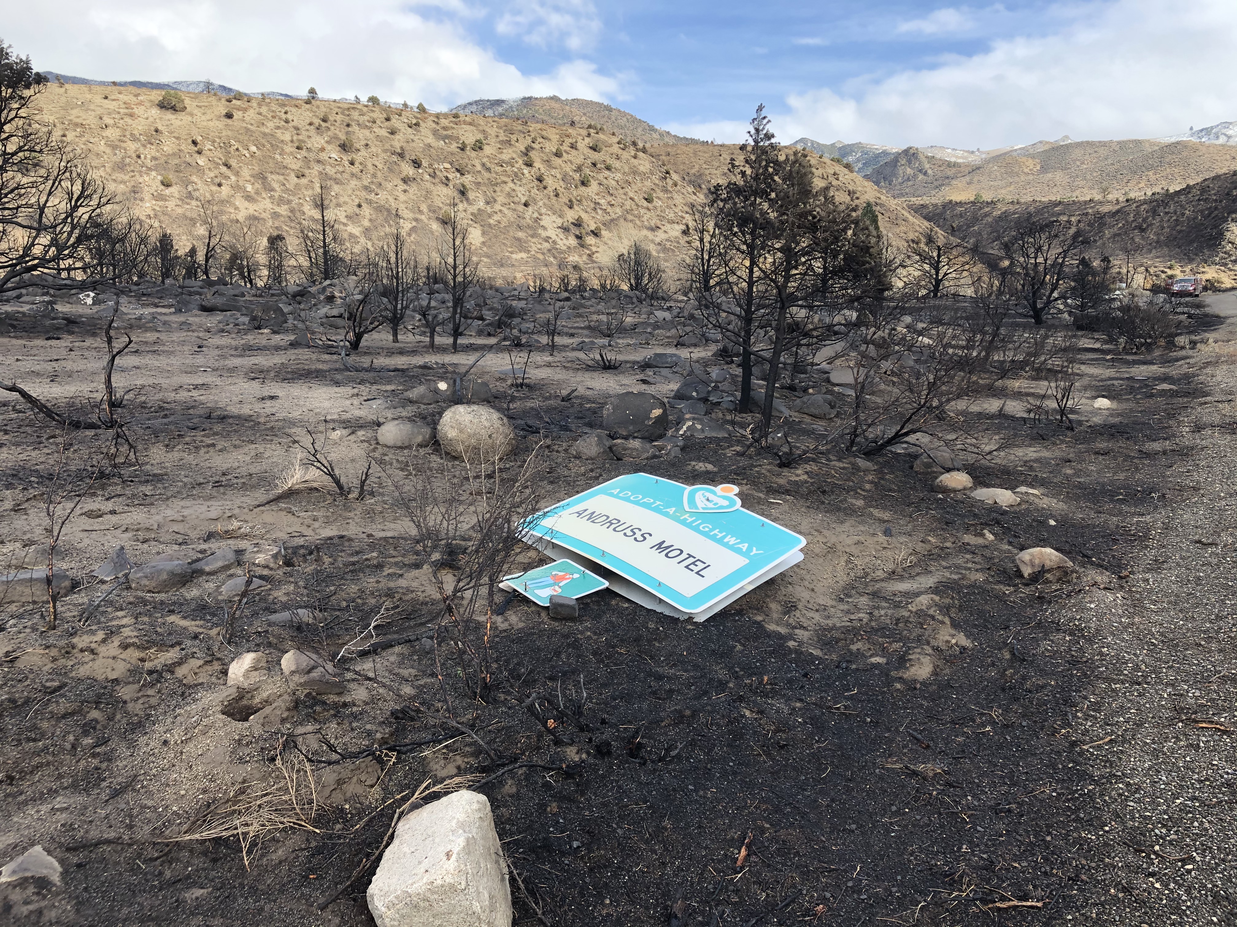
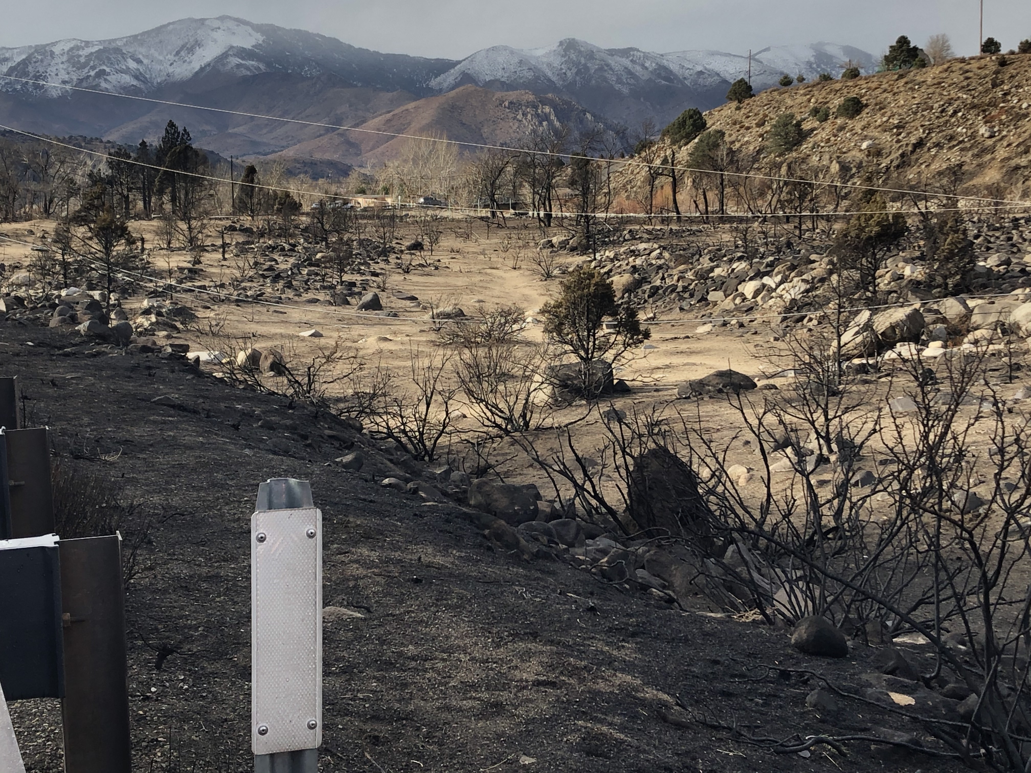
The 2016 Marina Fire
More Events in District 9 History
Unaired Death Valley-Owens Valley Flooding Report
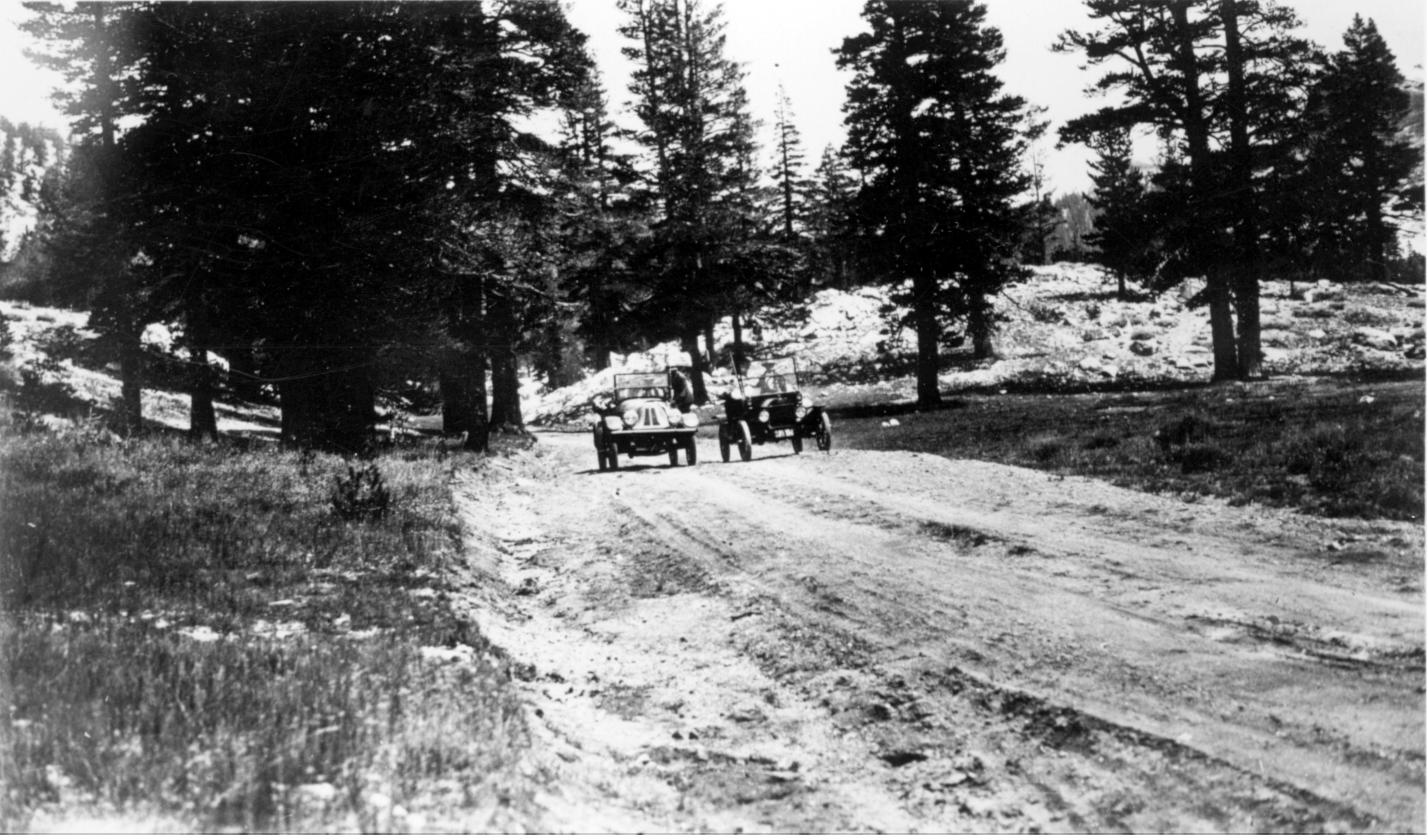
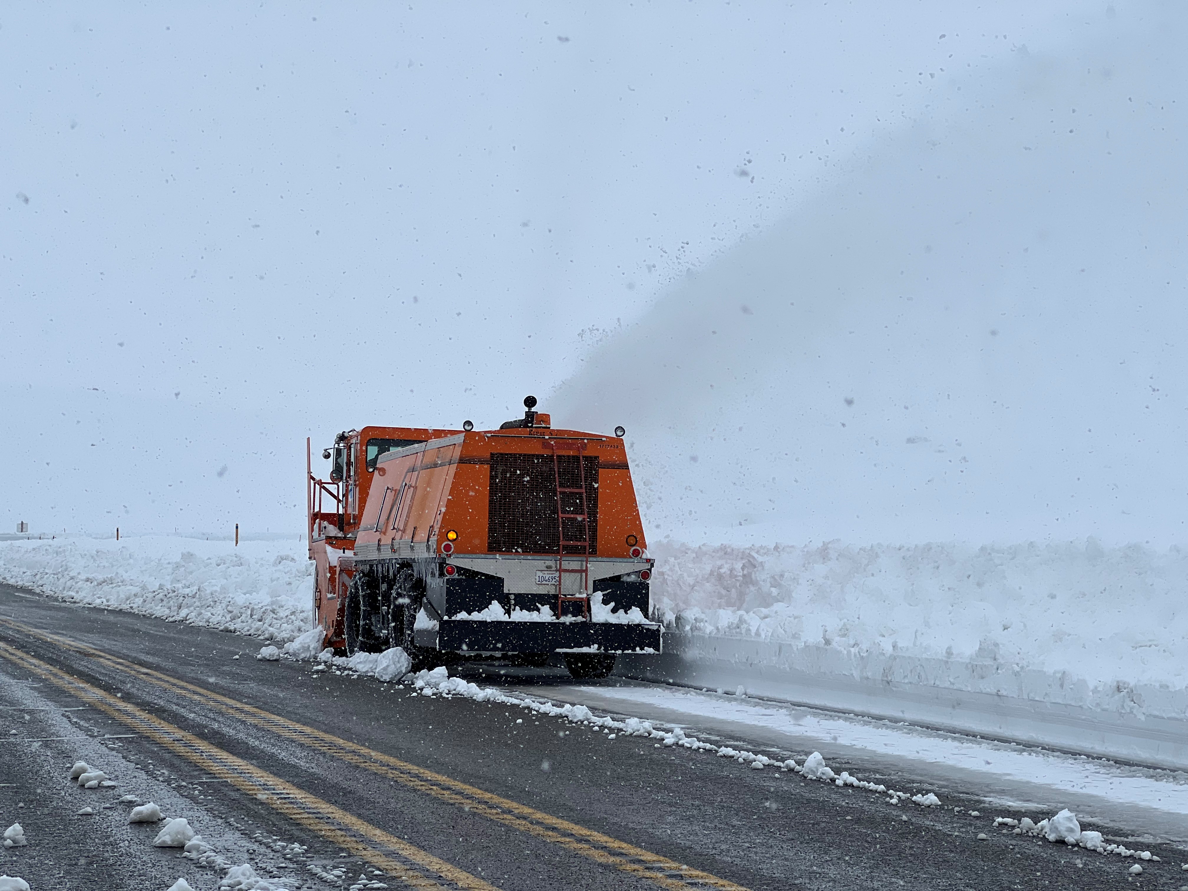
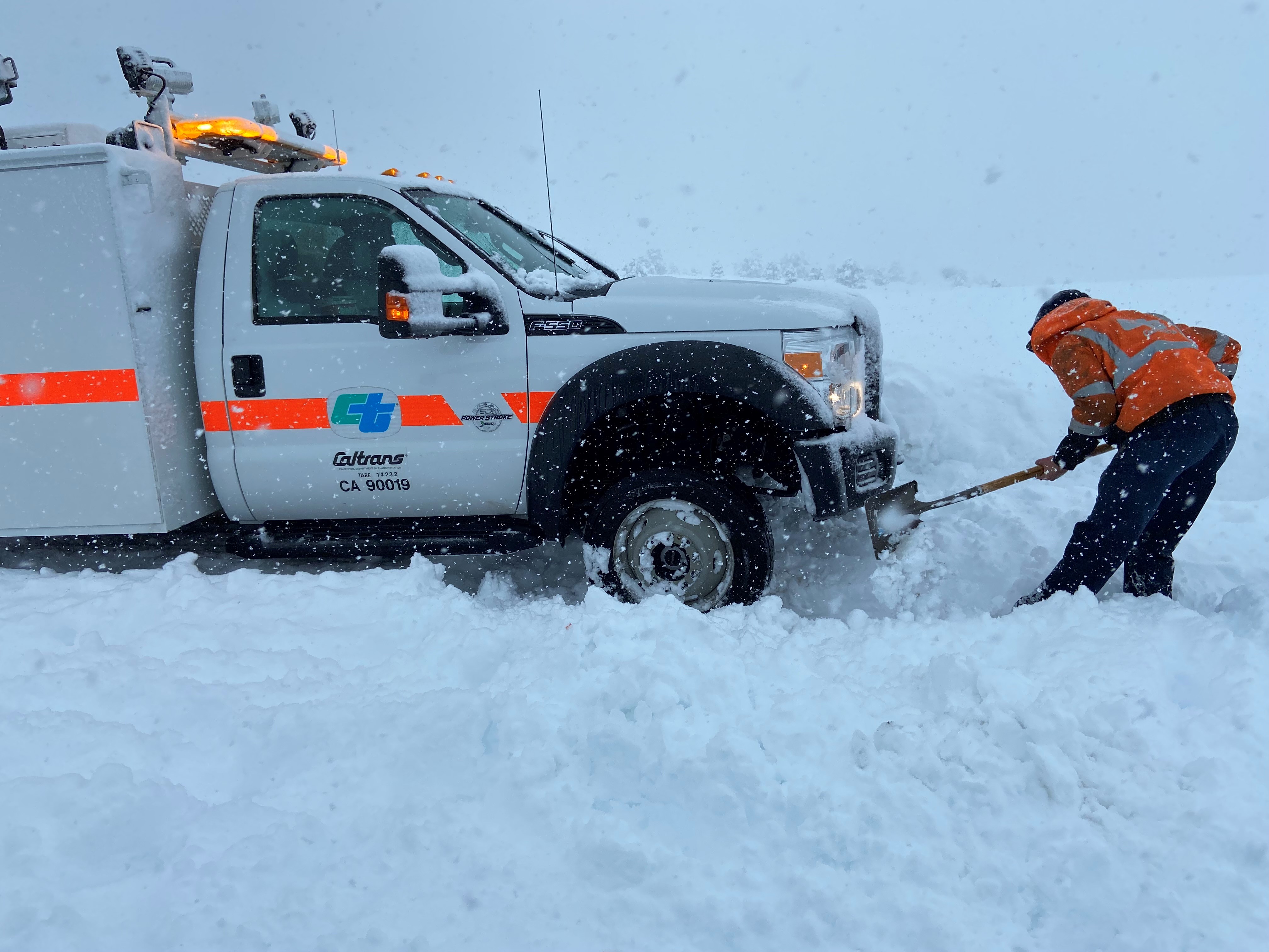
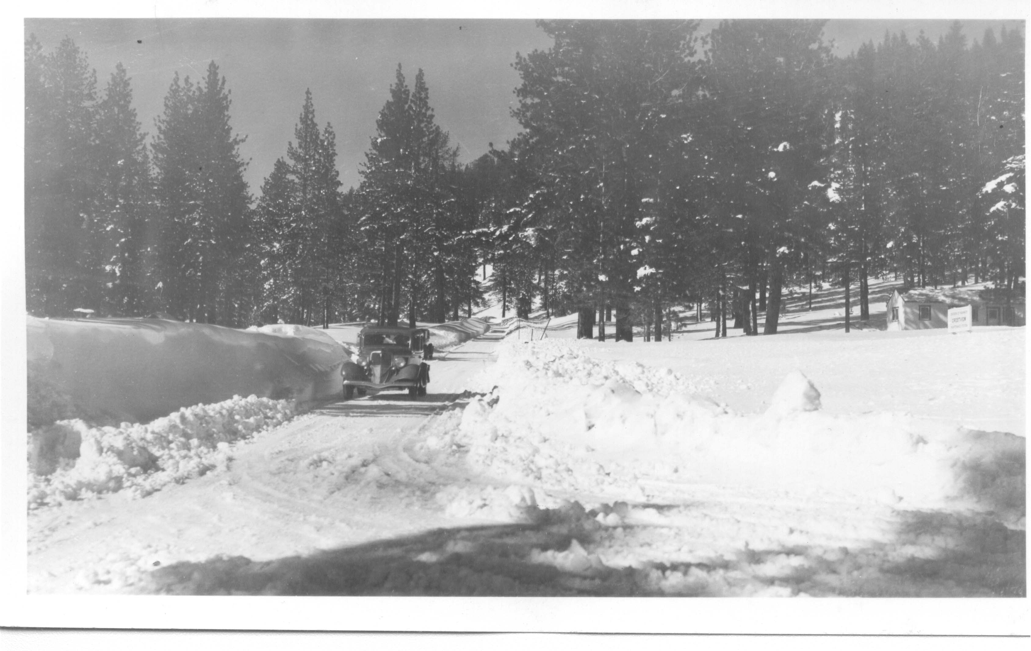
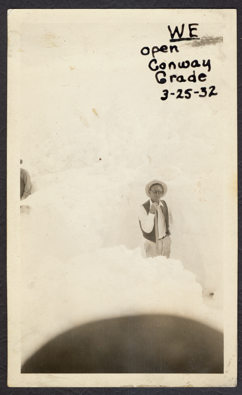
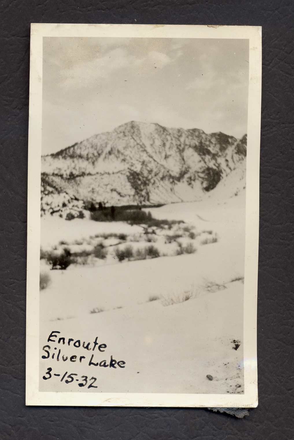
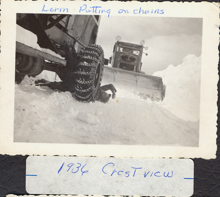
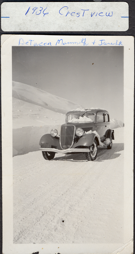
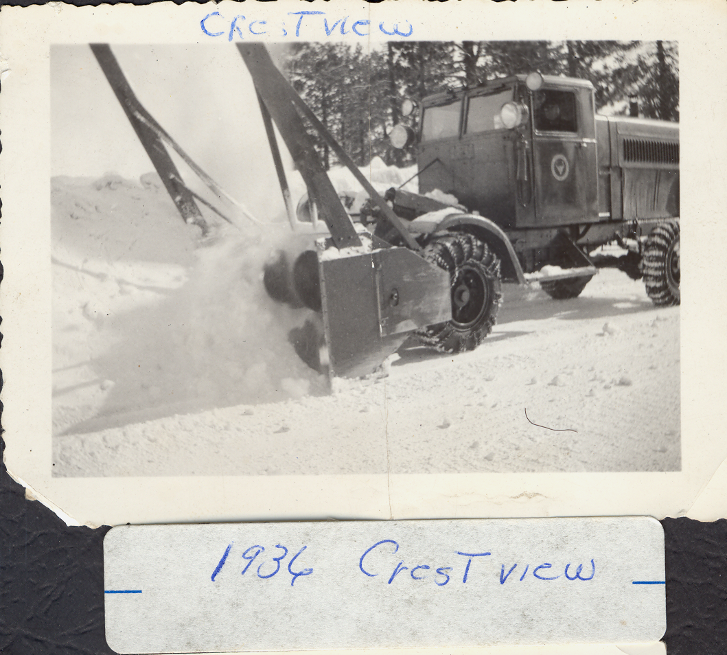
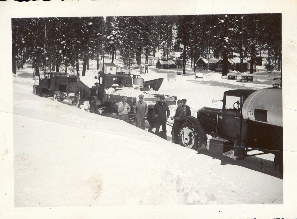
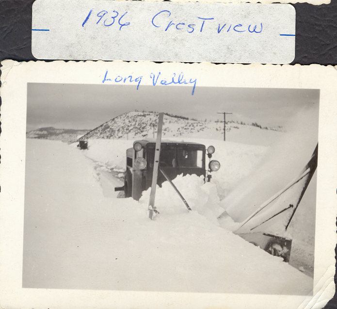
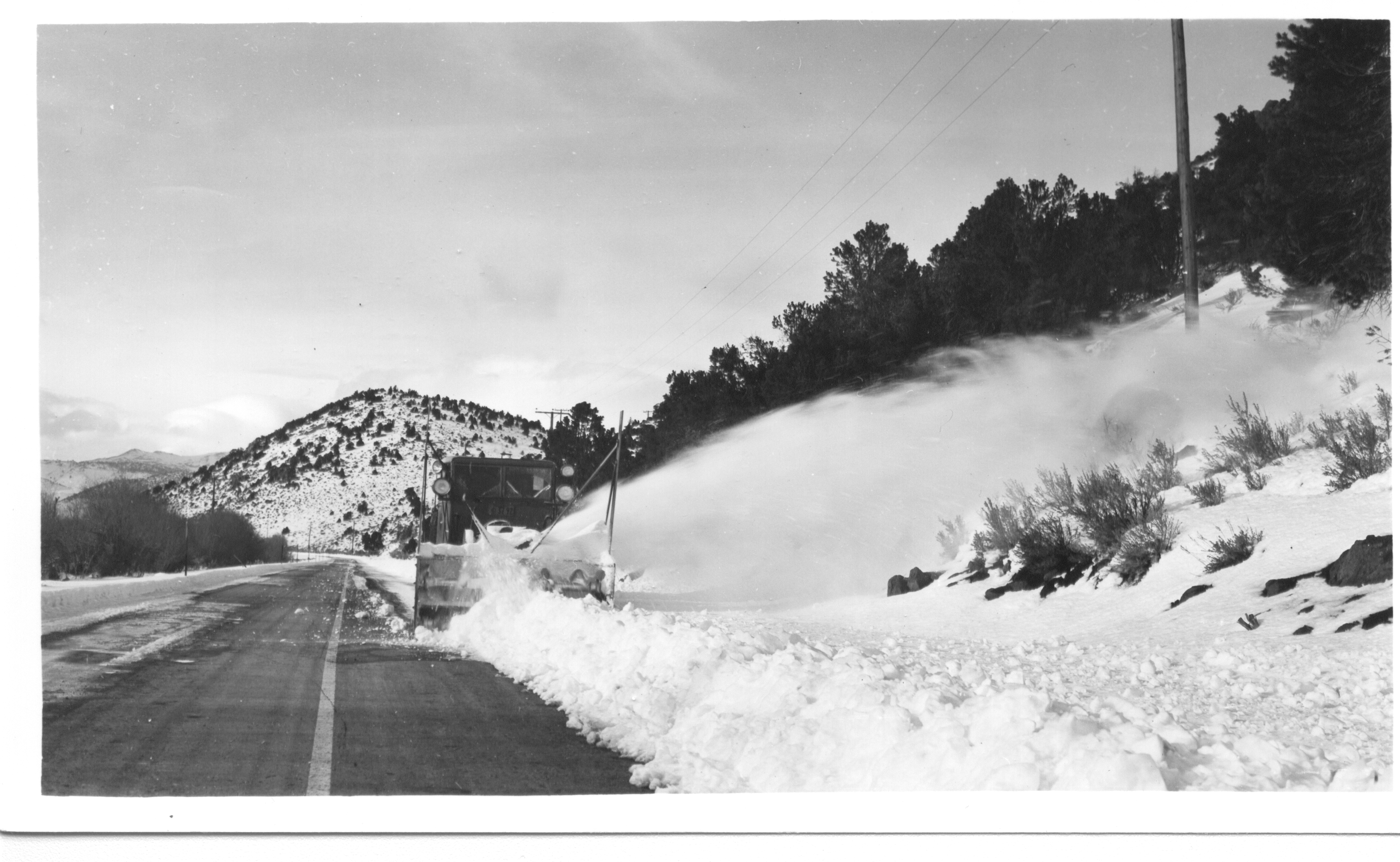
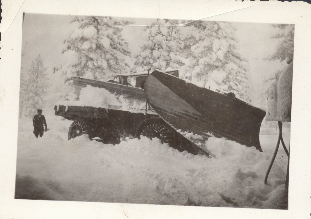
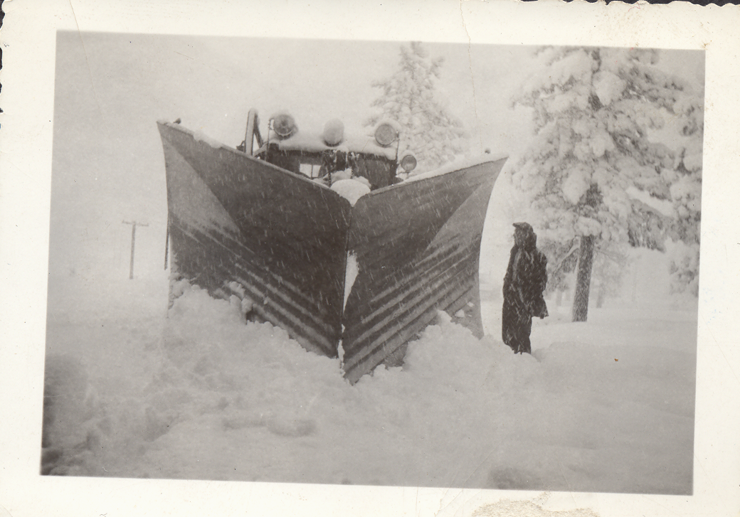
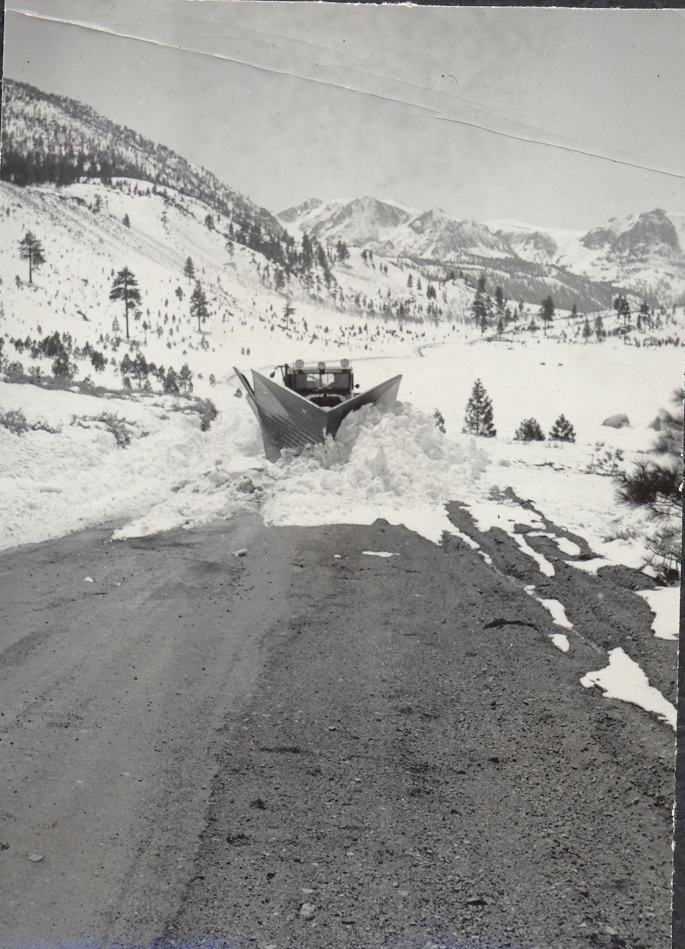
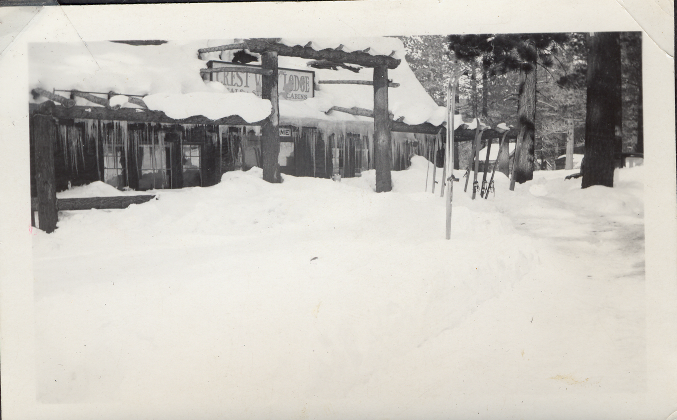
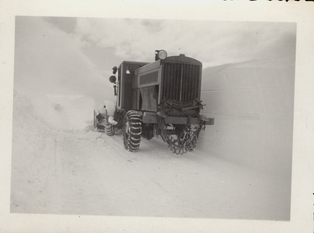
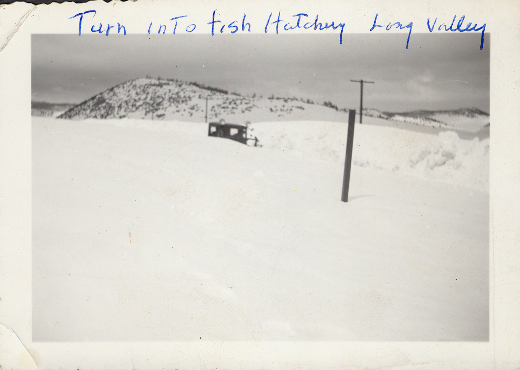
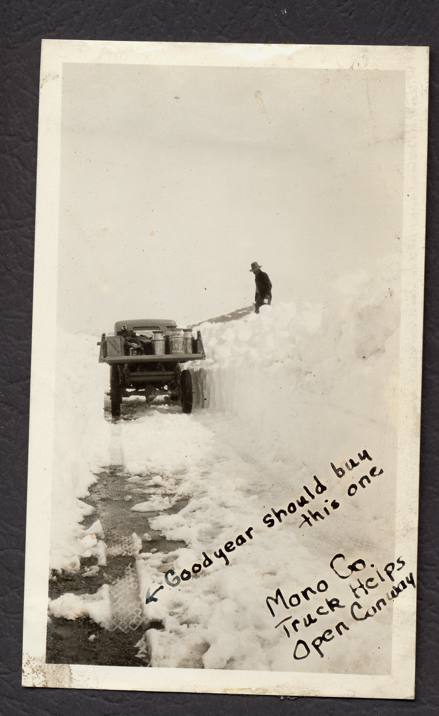
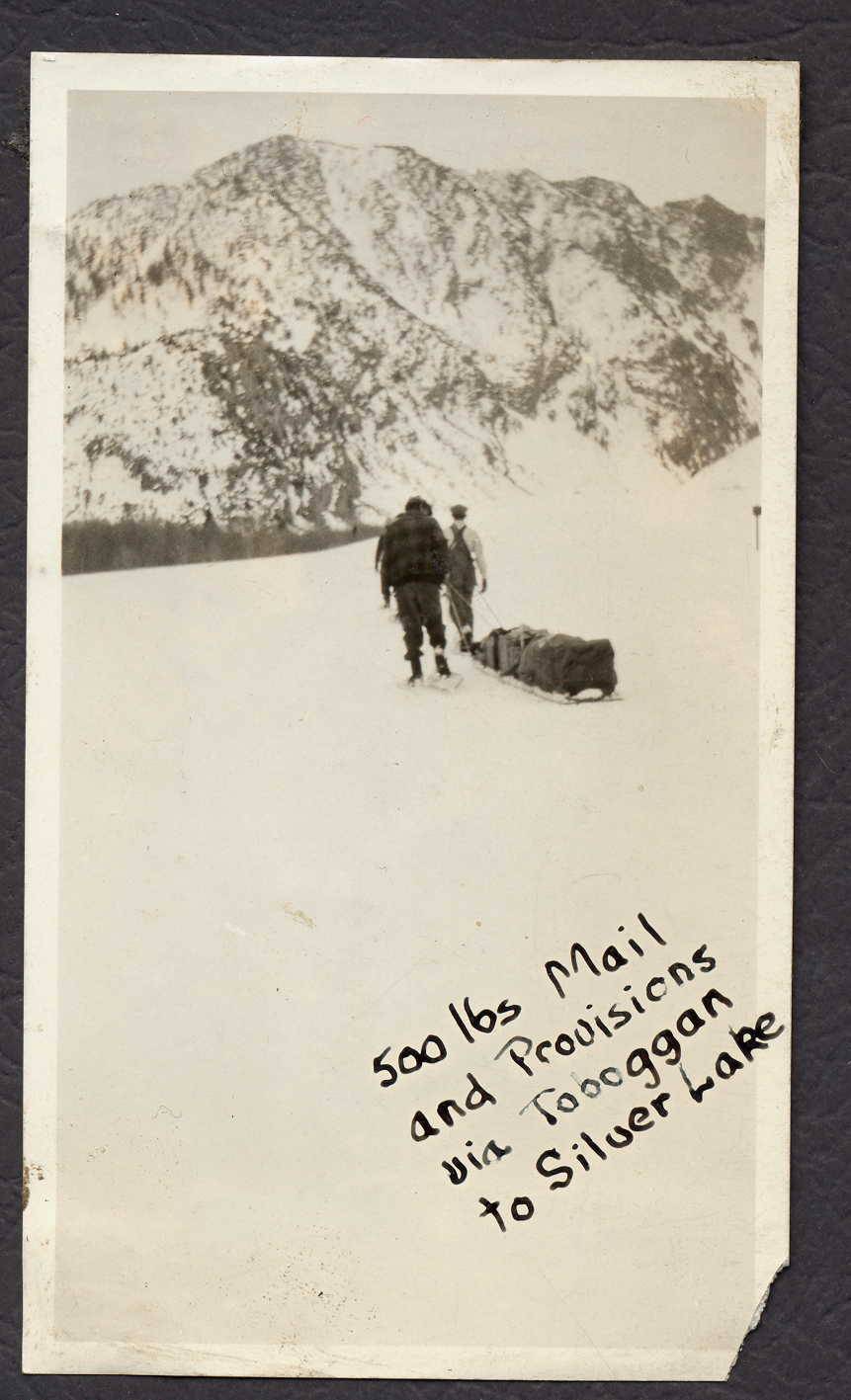
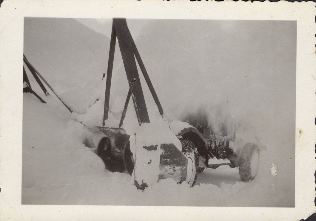
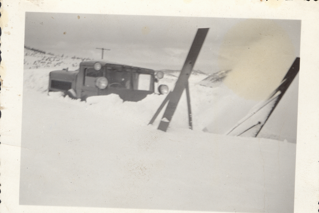
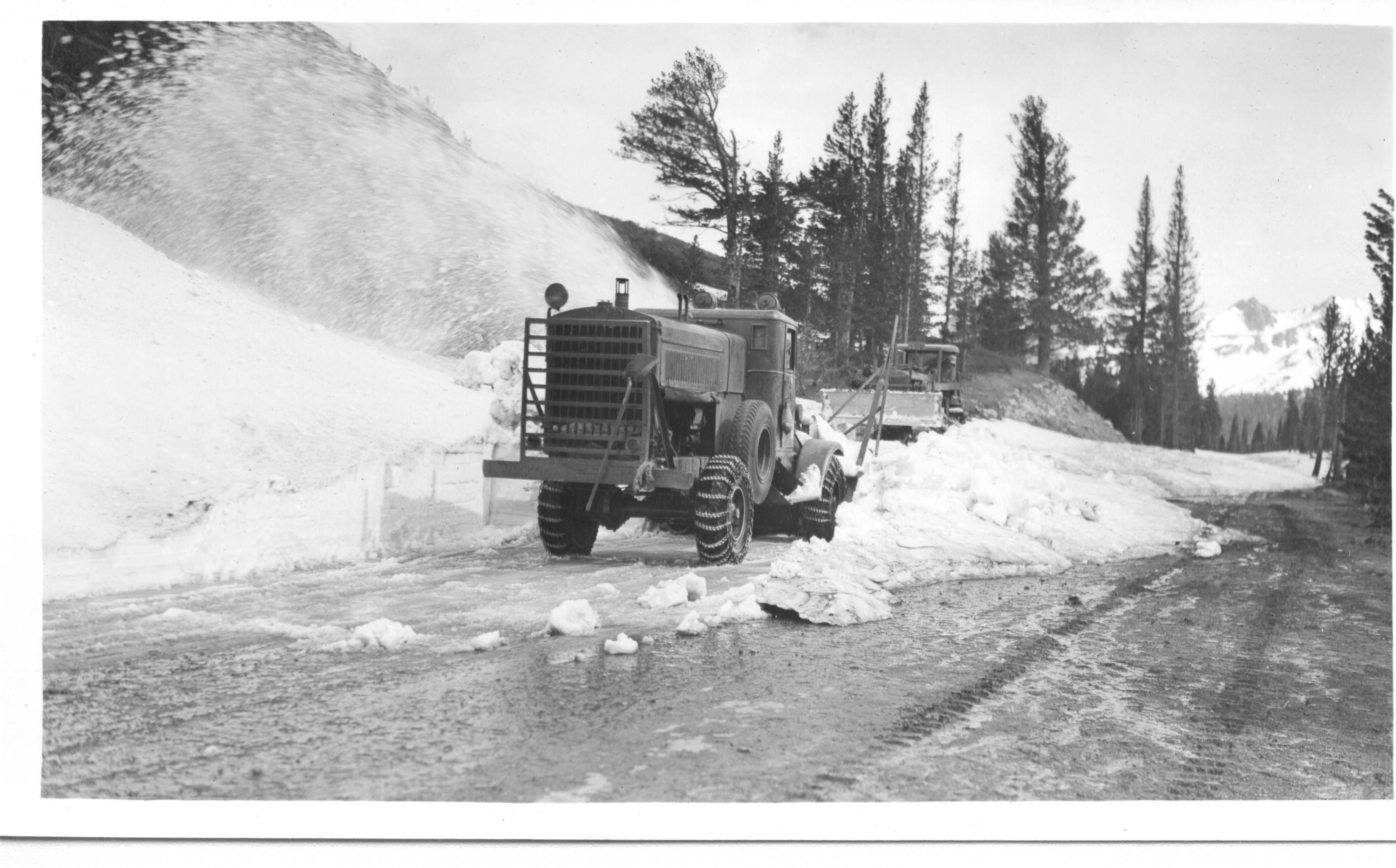
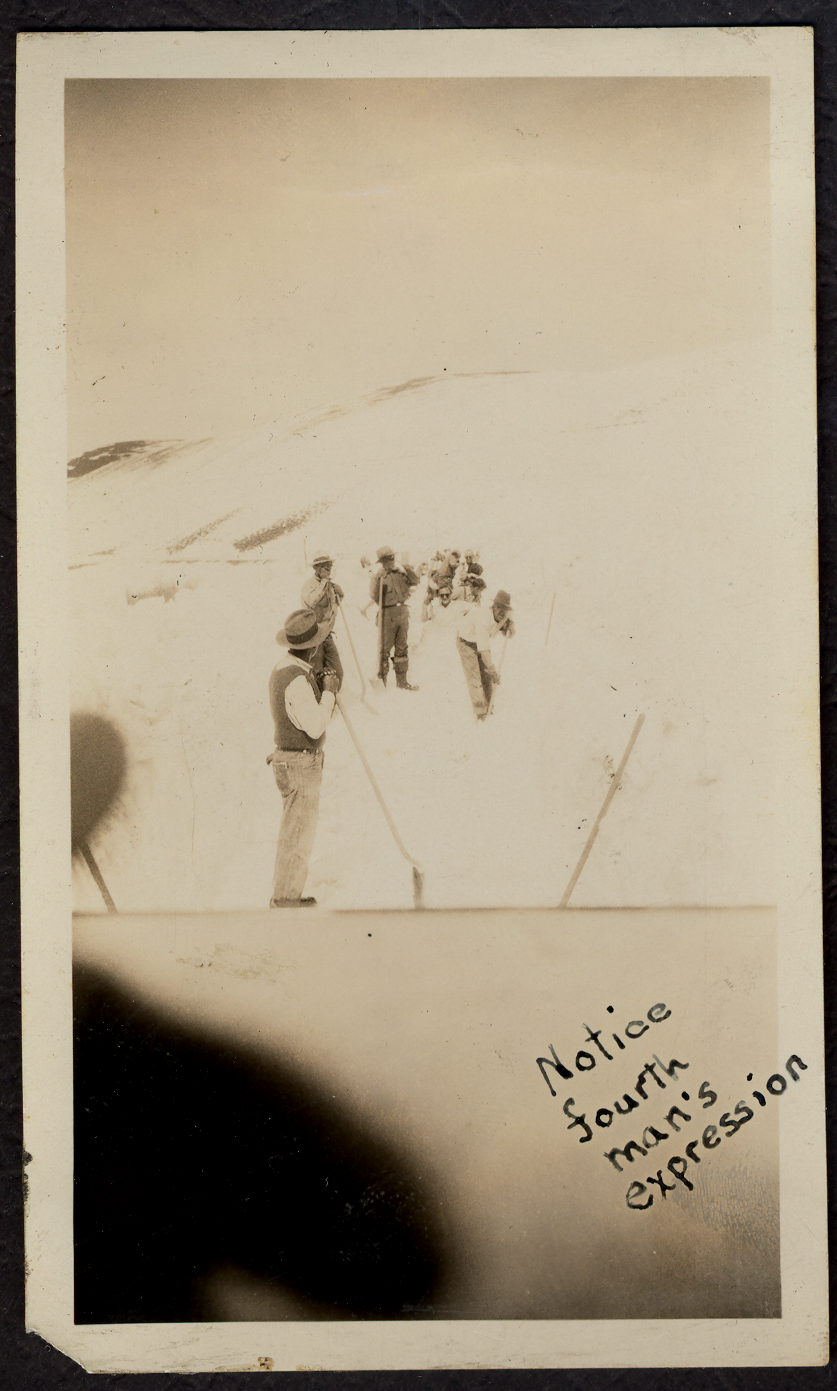
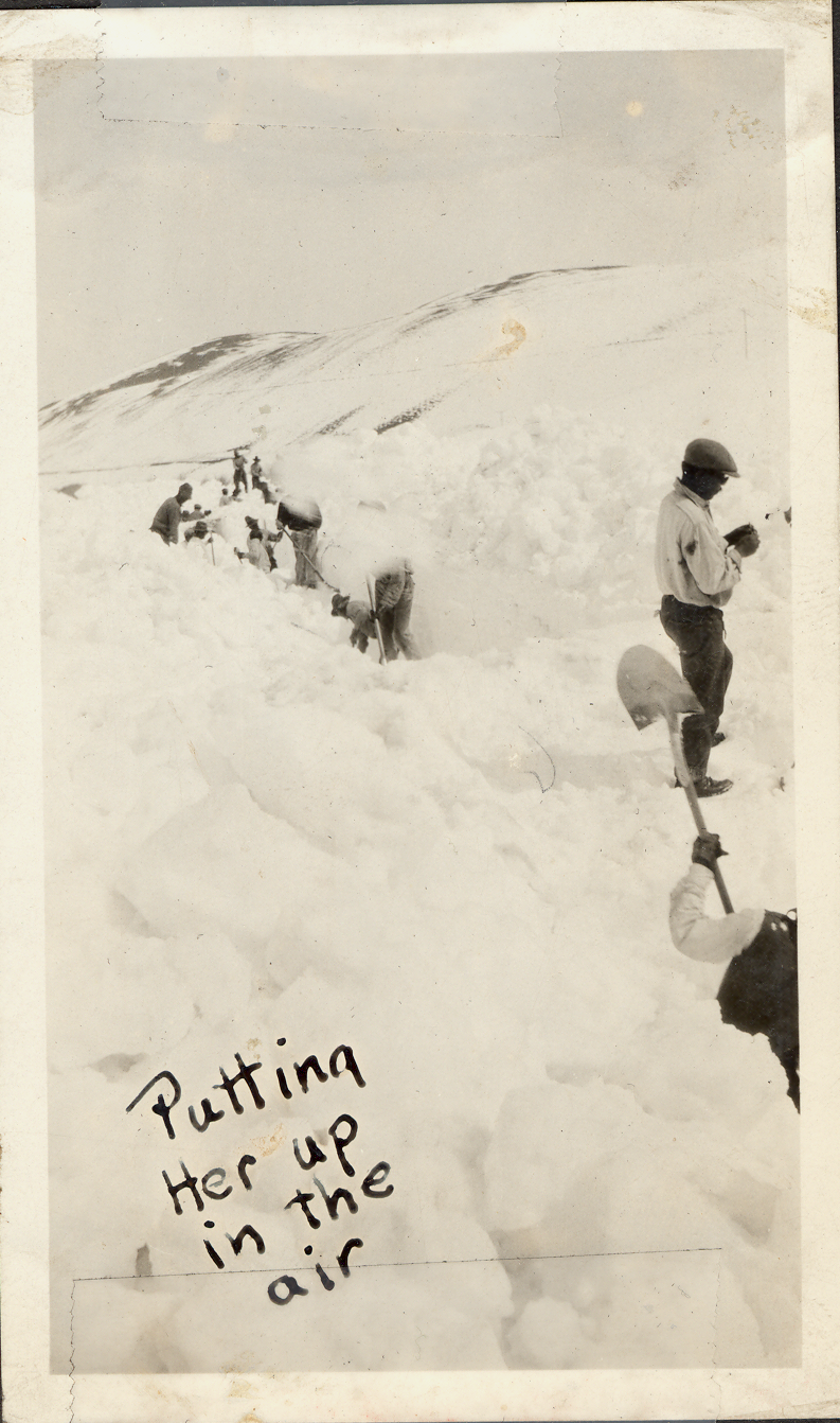
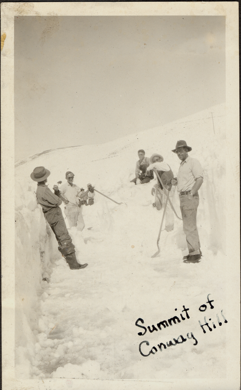
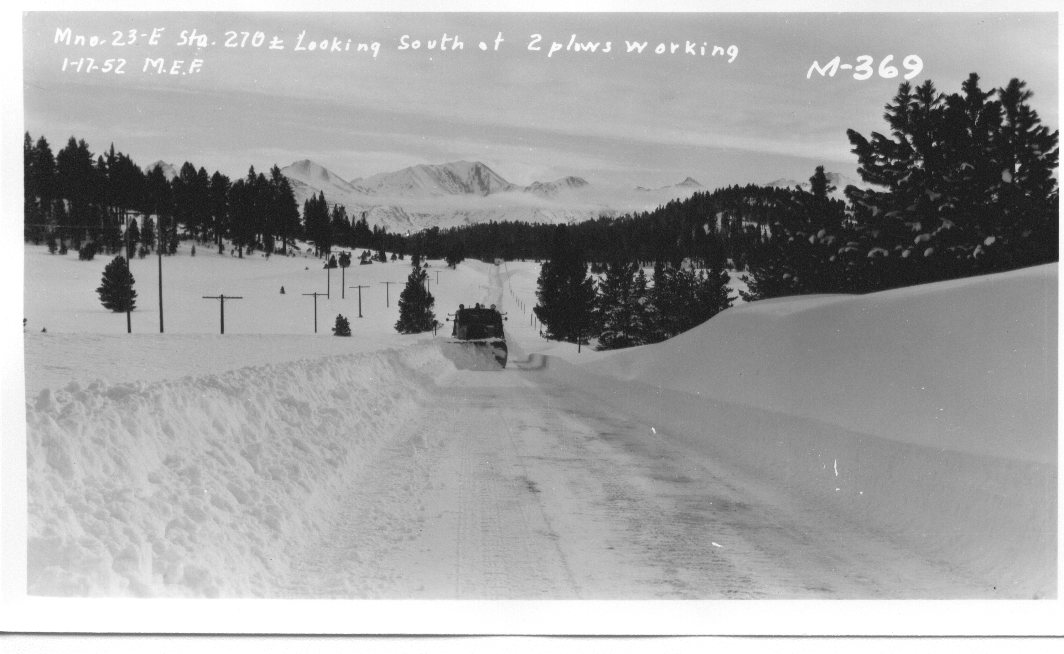
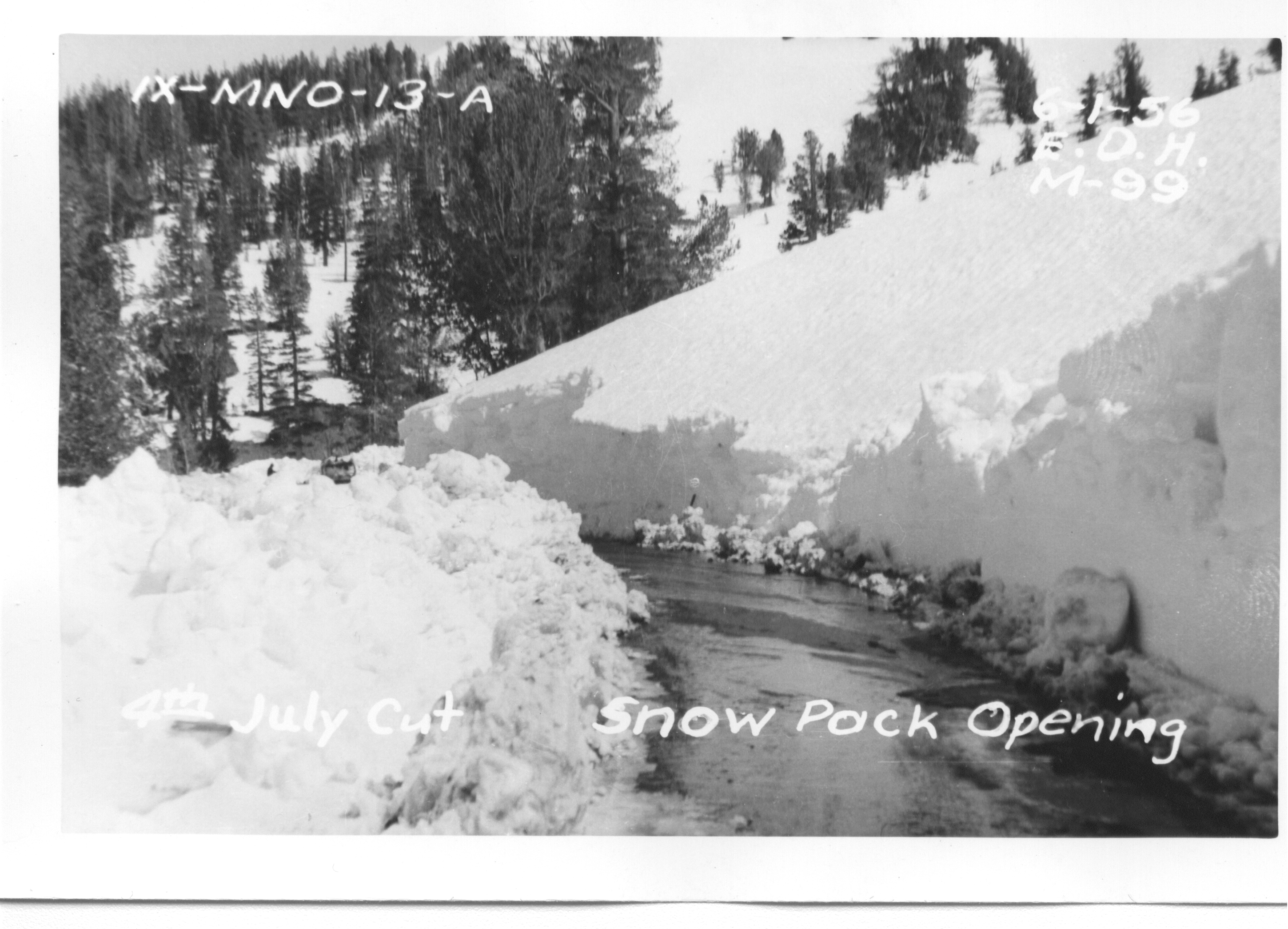
Winter Operations
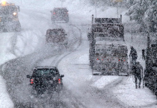
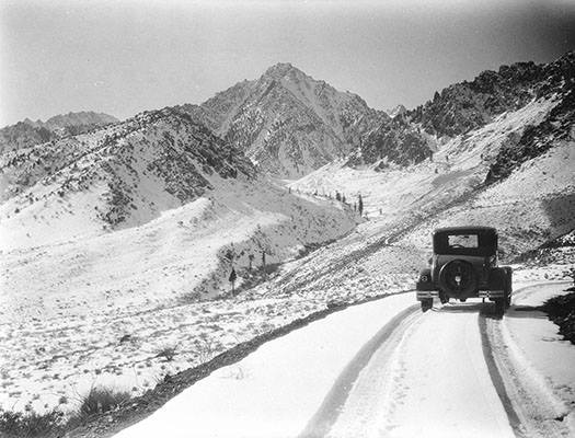
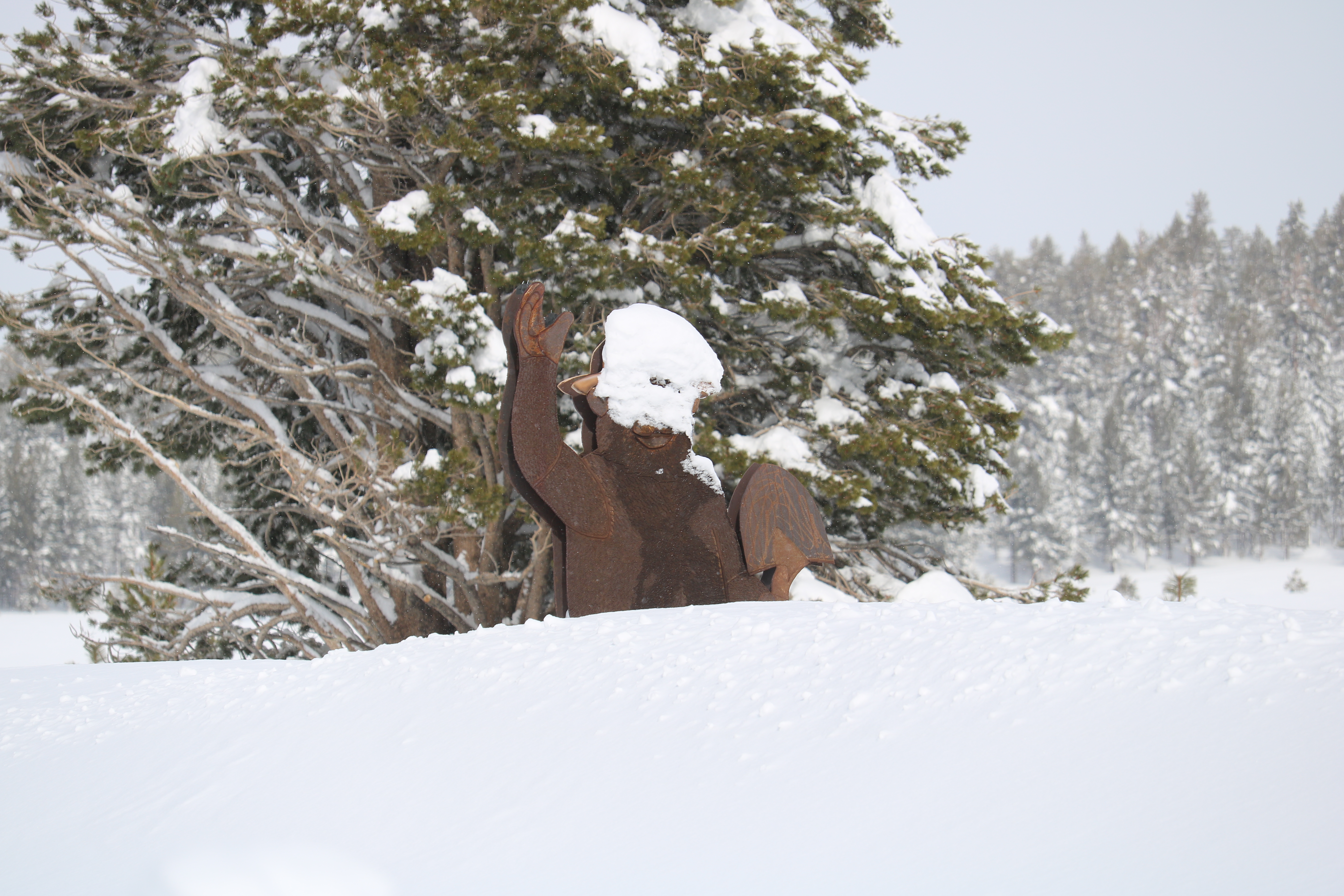
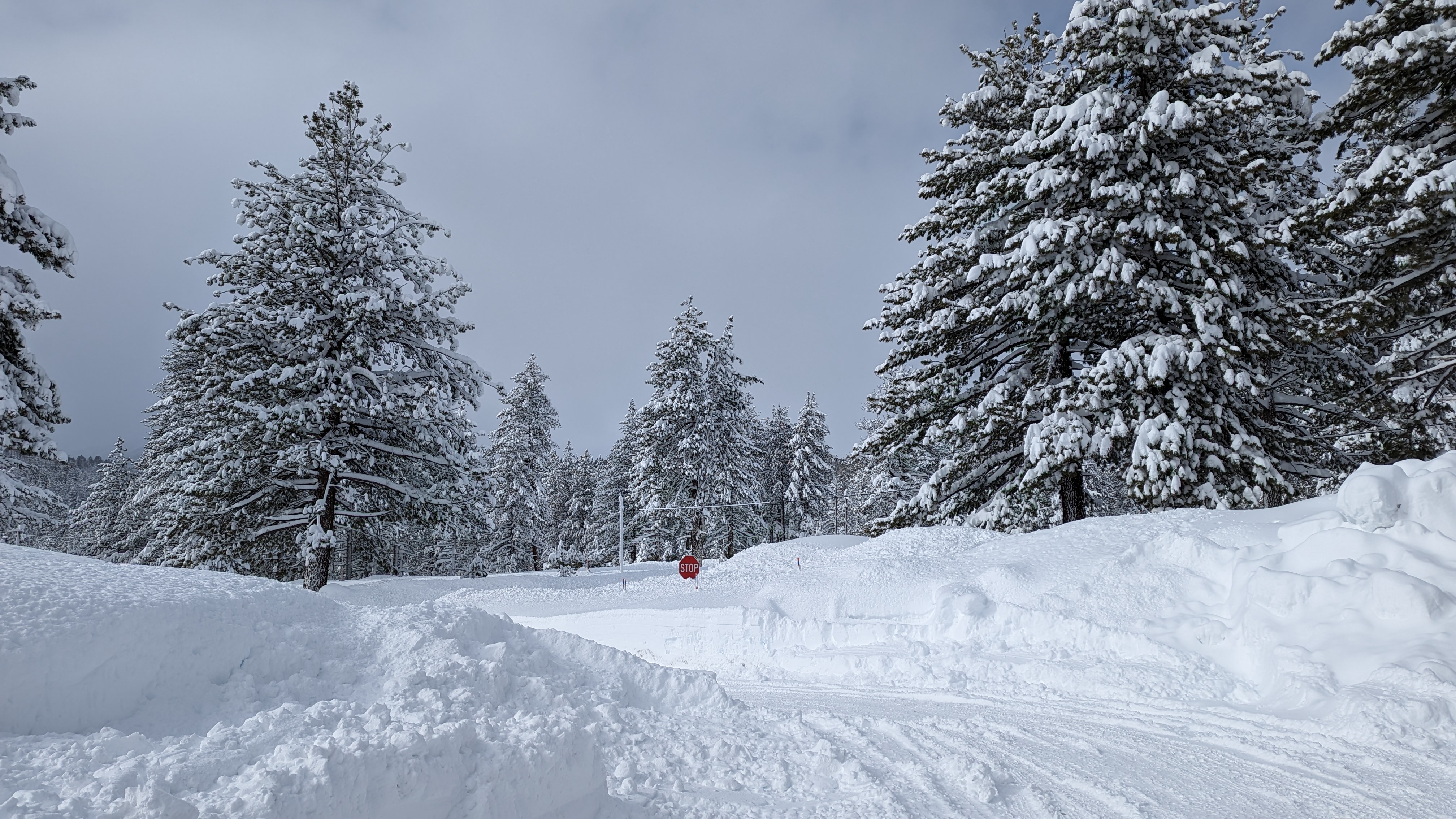
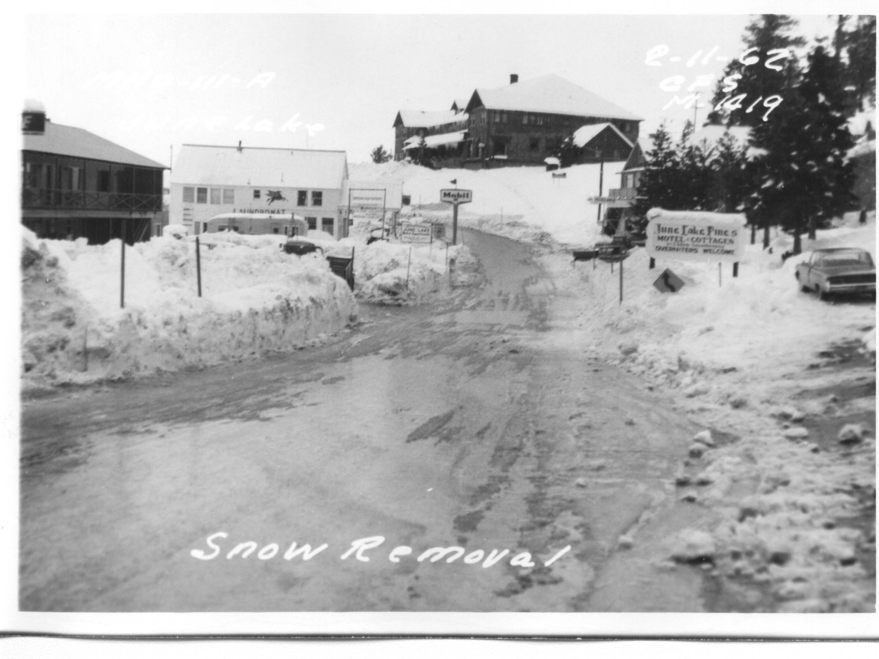
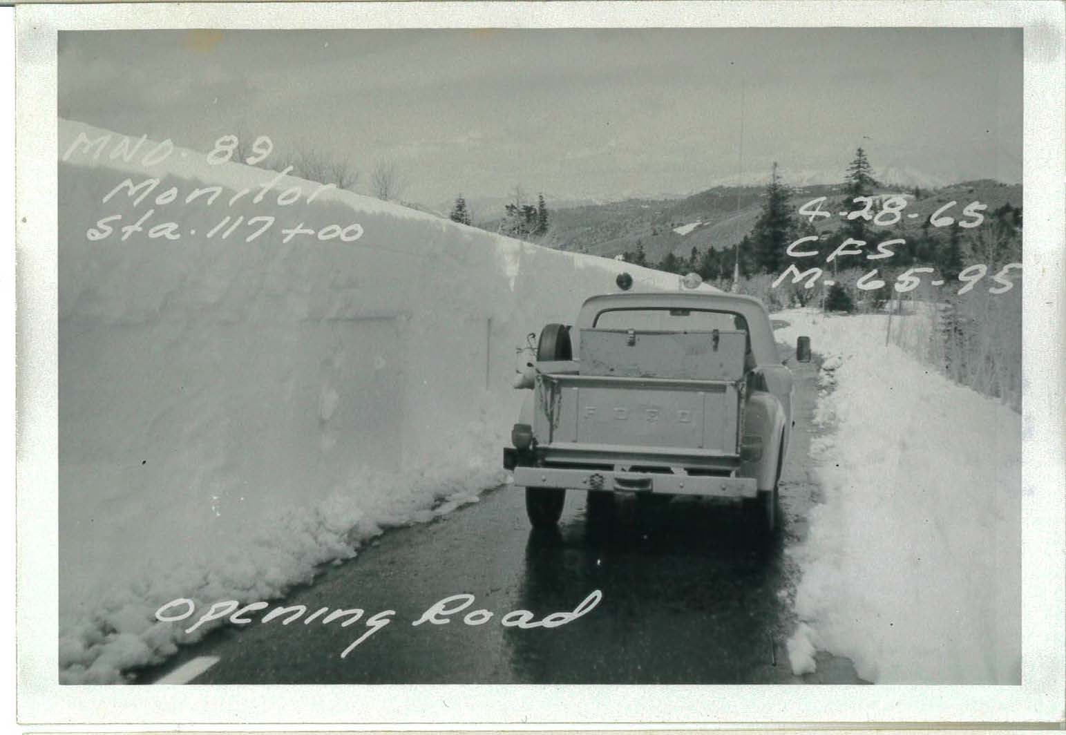
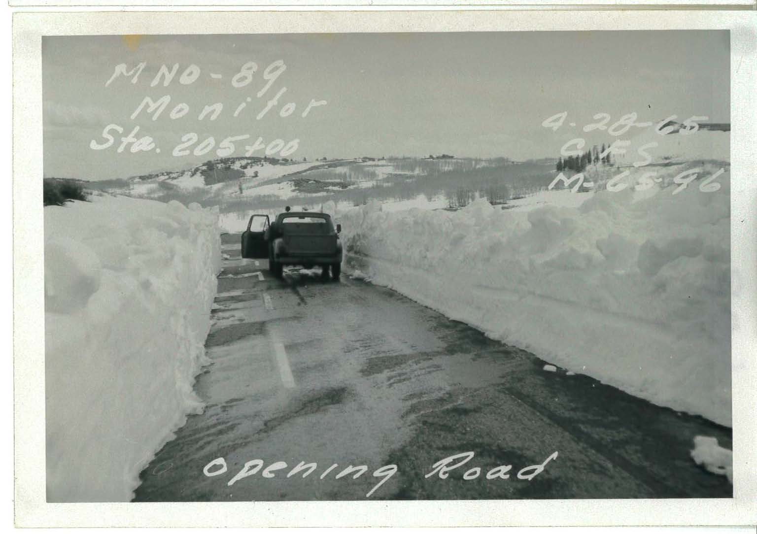
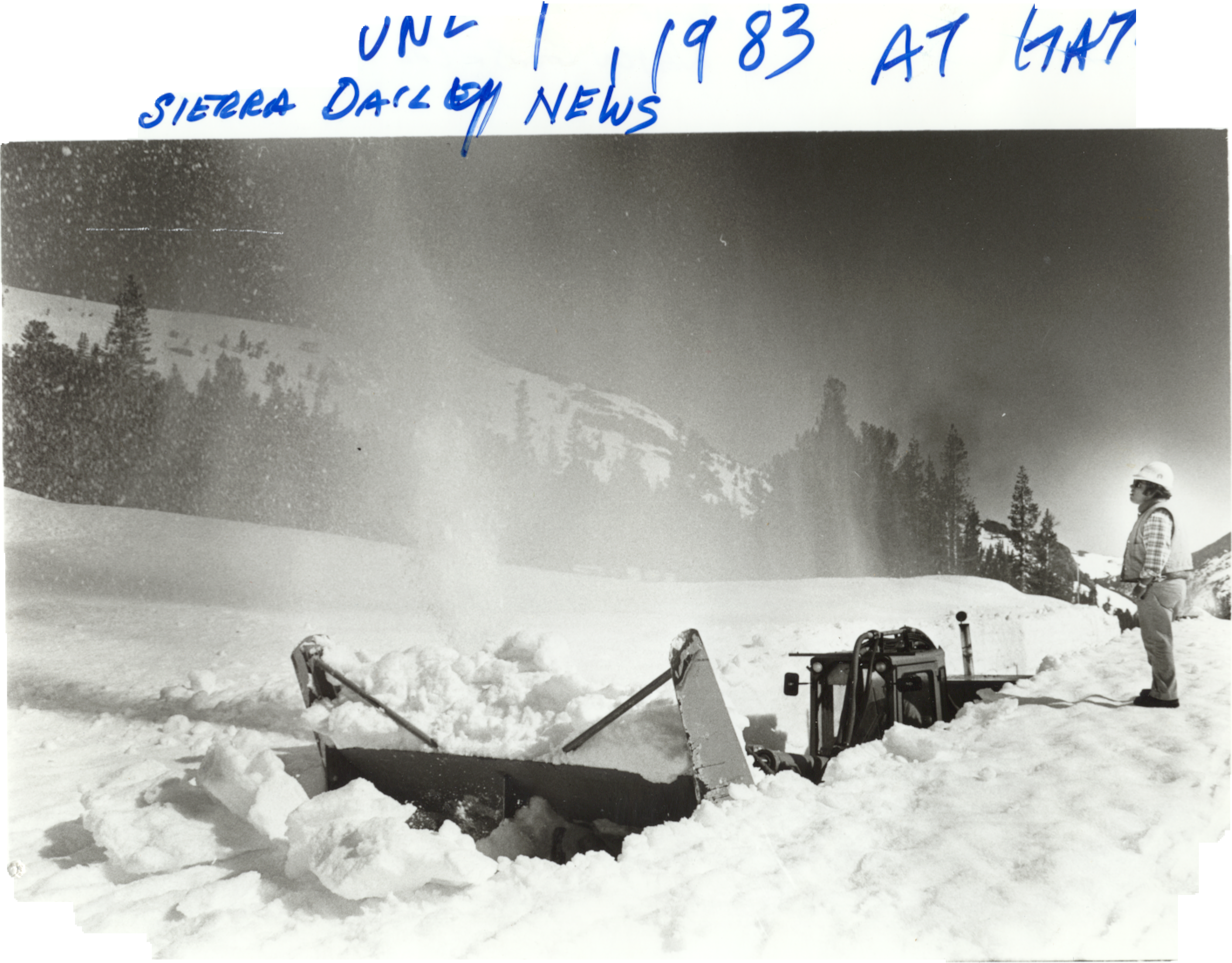
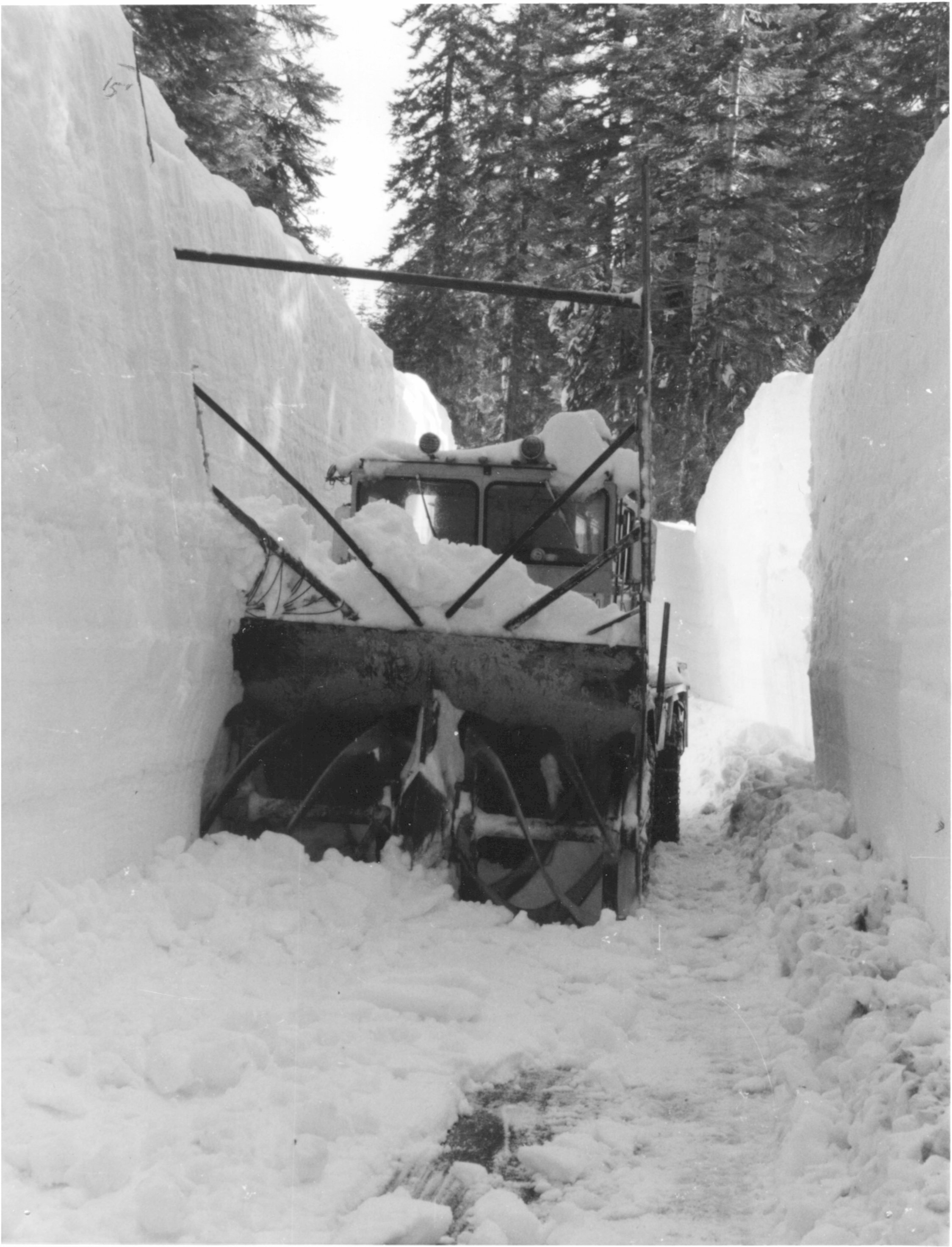
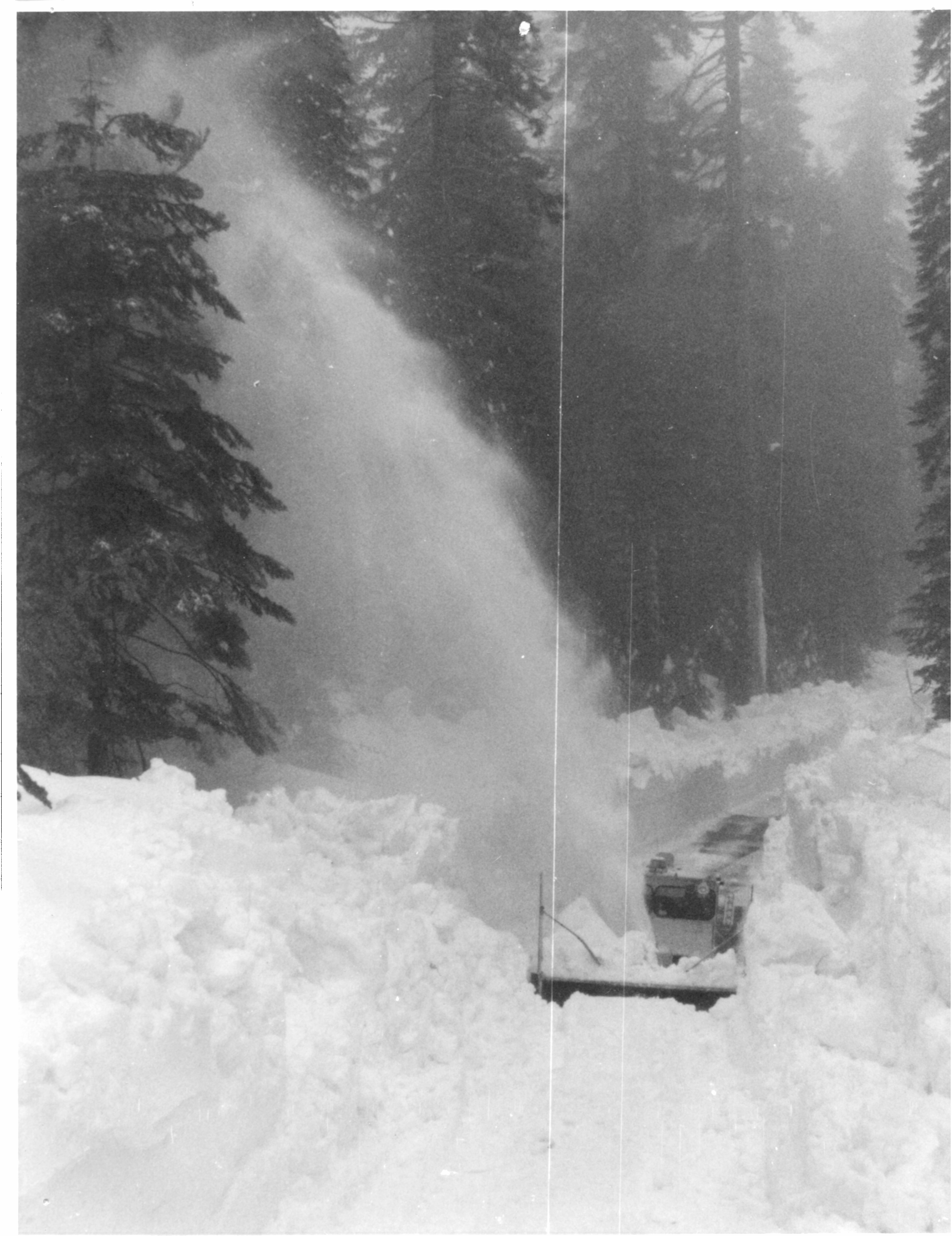
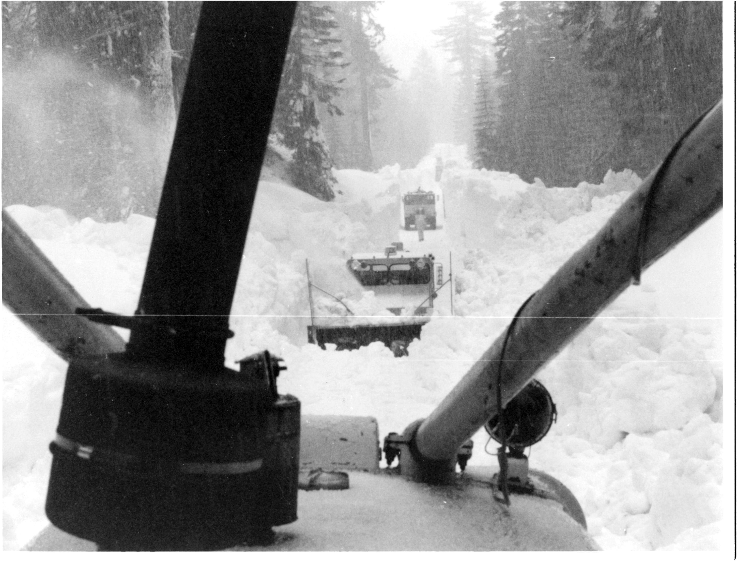
Snow in the Sierra
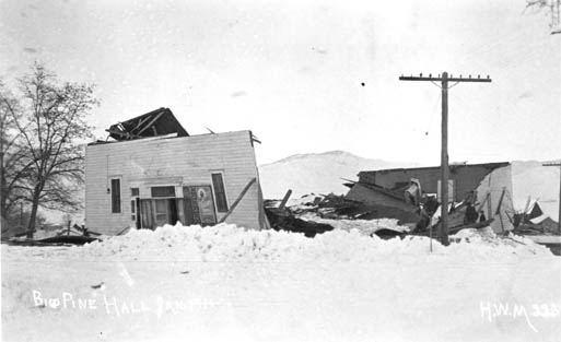
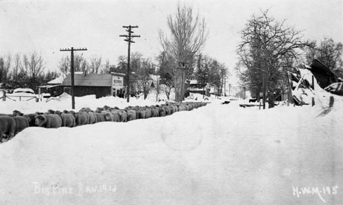
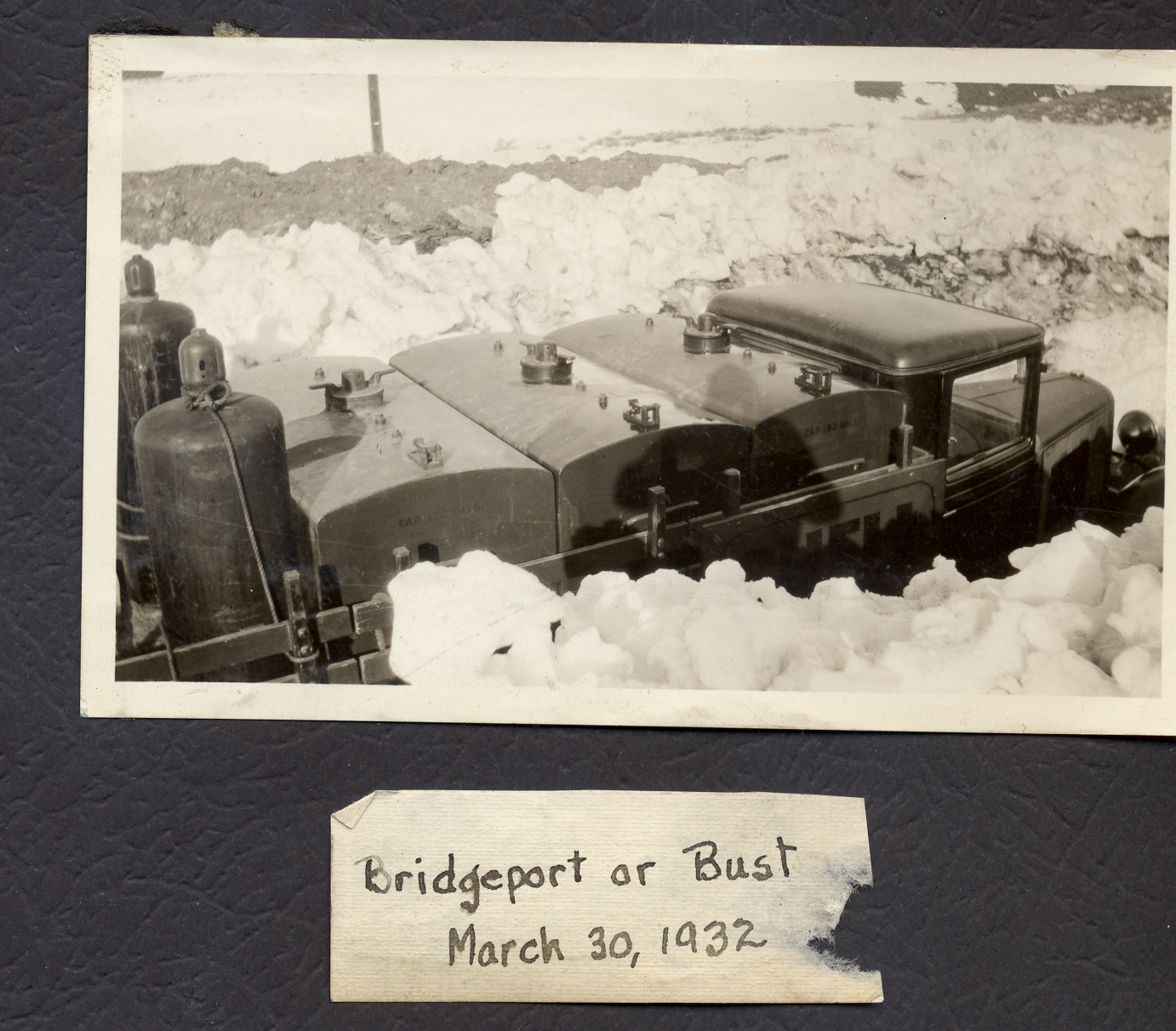
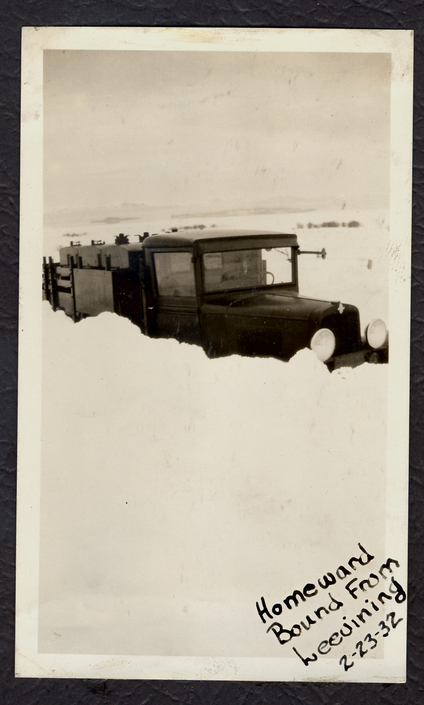
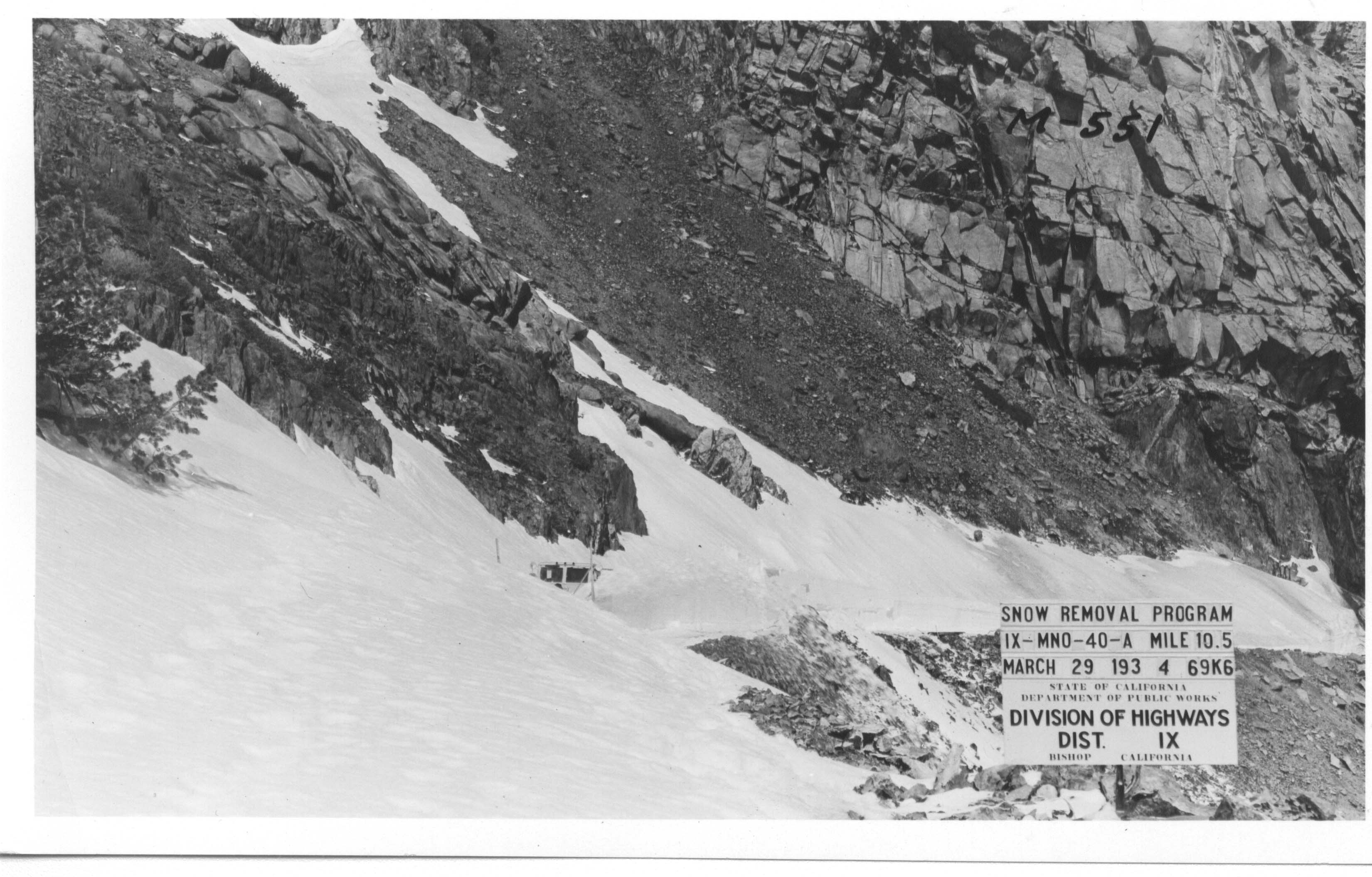
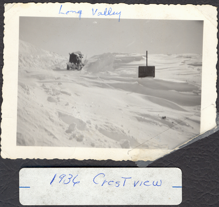
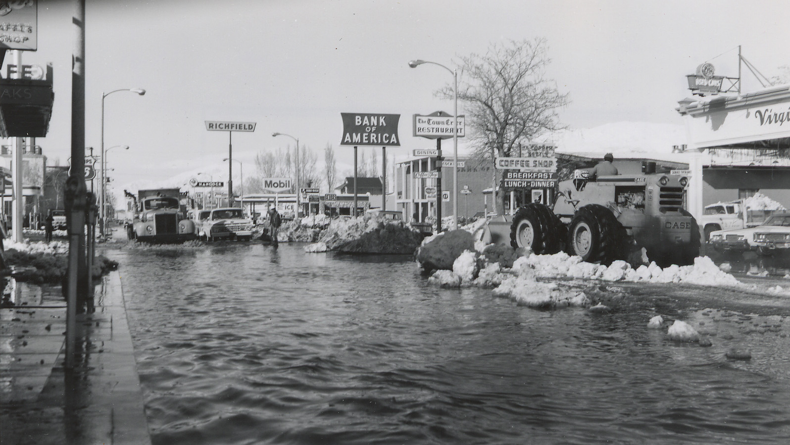
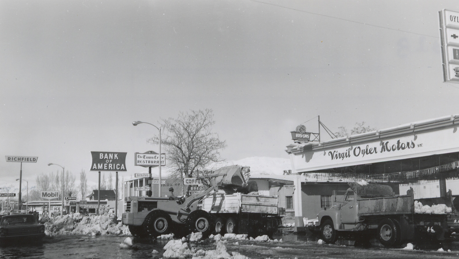
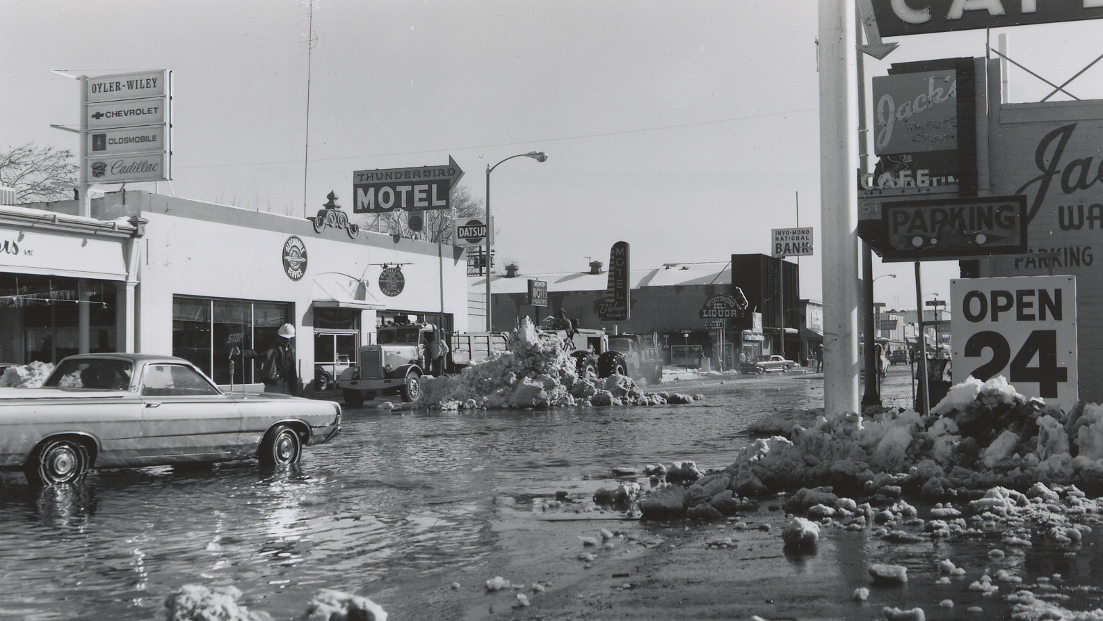
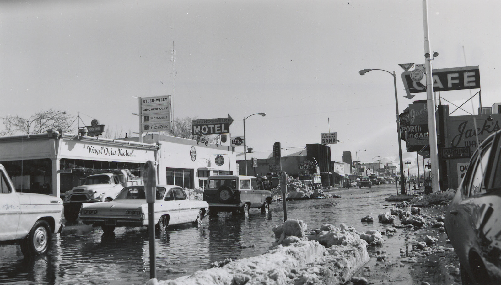
A Photo History of District 9 Winter Operations
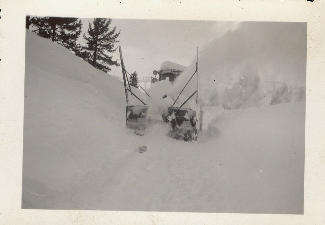
1934 Snow Removal Video
The Next 100 Years...
Eastern Kern, Inyo, and Mono county highways have seen a lot of changes over the last 100 years. New highways have been built and old ones have been expanded, creating a permanent connection between the communities of the Eastern Sierra, Tehachapi Mountains, Death Valley, and the Northern Antelope Valley. While we don't know where we'll be a century from now, we do know the highways of District 9 will continue to evolve as technology and community needs change. We can't say for sure what kinds of projects we'll be working on in 2123, but we have a few in the works for the next decade or so that will continue to showcase Caltrans' dedication to creating an outstanding multi-modal transportation system that benefits everyone.